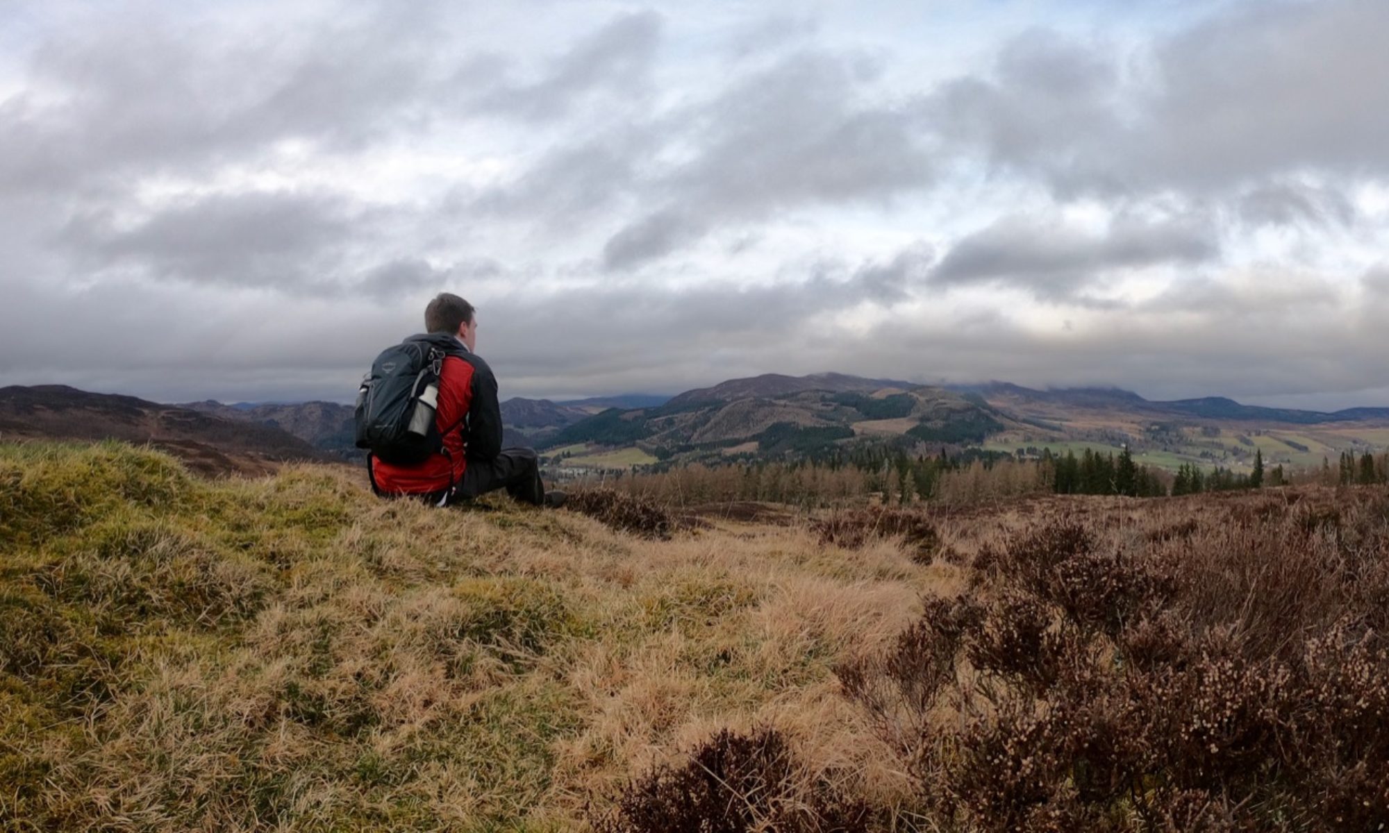

St Cuthbert was an Anglo-Saxon monk who took up residence on the island of Lindisfarne, where he would one day become bishop. After his death, he was said to be the cause of many great miracles and was venerated as a saint. For this reason, the island he once called home became a popular pilgrimage site — but not one accessed by boat. Instead, when the tide recedes, it is possible to walk across the sand to reach this most Holy Island.
Distance: 3 miles
Start: Lindisfarne Causeway, near Beal (NU 07915 42690)
Finish: Holy Island Village (NU 12620 41990)
Access: Bus 477 from Berwick stops at both ends of the causeway, but the schedule varies based on the tide. Parking is available on the island, but is limited at the Beal end of the causeway.
Precautions and Suggestions
This walk is unlike most that you’ll be used to as it is only accessible when the tide is out. This changes daily, so make sure to check the current schedule — I’ve included a link at the bottom of the page. The published times are based on travel across the road causeway, and not across the sand; walkers should aim to cross roughly two hours after the earliest safe time and are advised not to cross at all when the tide is coming in. Warning signs at the causeway indicate if it is unsafe to cross by road.
As you will cross wet sand and thick mud that can be particularly slippery, suitable footwear should be worn — particularly something that you don’t mind getting very dirty. For a more authentic experience, why not try walking barefoot like the pilgrims of old?
The Pilgrim’s Path

Walkers begin their journey at the end of the causeway, near Beal, following the final stage of the St Cuthbert’s Way long distance path. A short walk along the road onto the causeway brings you over a bridge to reach a small raised observation hut on your left. Turn right and carefully descend from the causeway to the muddy sand below.

With a stream on your right, make for the first of a series of tall wooden poles jutting out of the sand. These markers provide an easy to follow route across the sand to Holy Island, and as the route has been travelled for hundreds of years there is little chance of danger. It is almost completely straight, although some deviation may be needed in places to avoid pools of seawater left by the receding tide.
The name of the island, Lindisfarne, is of unknown origin. It may refer to the ancient Kingdom of Lindsey, or be derived from a Celtic word for pool or stream. To locals, however, it is simply known as Holy Island — a name that first appeared in the 11th Century referencing the saints Aidan and Cuthbert who were strongly connected to the island.

Leave the mainland behind and follow the poles past the first of two refuge huts. These wooden structures provide safety from the tide, but little else in the way of shelter from the elements: roofless and with gaps between the planks of their walls, they would make for an uncomfortable place to be caught on a stormy night.
Past the refuge hut, the ground becomes less sandy and more muddy. While I was lucky enough to walk on a sunny day that dried out much of the sand, this section remained a quagmire that left my feet coated in stinking, claggy black mud.

The sand soon returns as you pass the second refuge hut. Off to your right, across the open water, you may be able to make out the imposing silhouette of Bamburgh Castle further down the coast. Bamburgh was once the seat of the Kings of Northumbria, and the island’s proximity to the royal capital was a matter of great prestige. Today the two are connected by the Northumberland Coastal Path.

The vast expanses of empty sand all around can feel somewhat desolate, but the shoreline of Holy Island should be becoming clearer ahead. This would be a welcome sight for weary pilgrims reaching the island and for weary walkers completing the St Cuthbert’s Way.

When you reach solid ground once more, stop for a moment to admire the historic path you’ve walked — and to wash your feet! The path joins a road here, so follow it inland past the car park and into the village.

The island is a popular tourist destination owing to its ties to St Cuthbert and to the Vikings, especially during the summer months when its car park is positively overflowing. The two main historic sites, Lindisfarne Priory and Lindisfarne Castle, are both open to the public, and it’s also possible to walk a tour around the island — so why not stay a while? It might be a while until the next safe crossing time!

Links
Lindisfarne Causeway Safe Crossing Times – courtesy of Northumberland County Council (Working as of 5 September 2019)