
In the panorama of limestone rocks featuring in the Golfo di Orosei, you will find different formations which extend for around 40 km.
There are cliffs, sheer walls, terraces and escarpments which make way for various small beaches in the inlets.
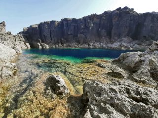
The Cala Goloritzè beach sits in this panorama at the outlet to the sea for the rio of the same name.
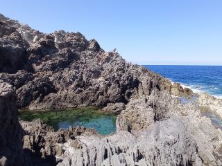
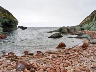
The beach sits on a stretch of limestone coastline, where the action of the sea and the karst have produced different forms of particularly significant erosion.
The beach is a clear colour, with small pebbles and sand. The sea water is crystal clear, with colours ranging from turquoise to light blue to emerald green. These colours are the result of not only the clear colour of the sand and rocks but also the presence of freshwater streams. These streams which emerge from the seabed make the sea water less salty and purer, so the light filters more easily through it.
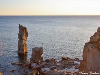
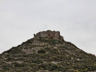
Dominating the characteristic rock shapes is a particular stretch of cliff. This thins out and stretches towards the sea to form the characteristic rock arch.
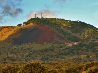
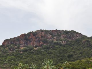
Another important and majestic element is the natural monument known as the Aguglia (Monte Caroddi). This formation of limestone rock has a monolith standing around 147 metres high, surrounded by a series of minor peaks.
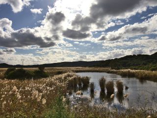
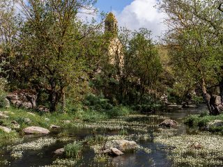
From a flora point of view, the “codula” (gorge) of Goloritzè, is home to a luxuriant vegetation akin to Mediterranean shrub, with strawberry tree, terebinths, manna ash and Ostrya carpinifolia. There is also a small holm oak wood (Bacu Goloritzè).
The place name “Goloritzè” appears to derive from the Sard word kolòru or kolòvru meaning “snake“, and probably refers to the shape of the rio of the same name.
The beach with all its naturalistic, geological, flora and fauna elements falls within the confines of the “National Park of the Golfo di Orosei and Gennargentu” and is part of the Sites of Community Importance (SCI) “Golfo di Orosei” (ITB020014), regulated by the Rete Natura2000.
After leaving your car in the car park near the Su Porteddu kiosk, you can walk to the beach along a path for about 3 km. The path includes a part of the “Selvaggio Blu” route. The Cala can be easily reached from the sea.
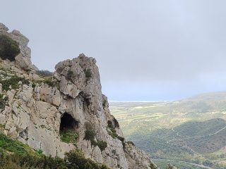
Different, important natural elements known as Baccu can be observed along the routes. The Baccu, or “Bacos”, are deep gorges typically found in Supramonte di Baunei, which generally end in descents, stairways and coves in the sea which are often almost impassable. Along the route, it is not unusual to come across woods with plants which are centuries old and encounter karstic cavities, landslides and stone quarries. The Baccu Linnalbu and Baccu Maore are worth mentioning in this area.


