Woppendorf
Woppendorf is a village in Hannersdorf, Oberwart District, Burgenland and has about 147 residents. Woppendorf is situated close to the villages Burg and Badersdorf.Photo: Stefan Fadinger, CC BY-SA 4.0.
Notable Places in the Area
Filialkirche hl. Johannes der Täufer, Woppendorf
Church

Photo: Stefan Fadinger, CC BY-SA 4.0.
Filialkirche hl. Johannes der Täufer, Woppendorf is a church.
Bildstock Eisenbergerstraße, Badersdorf
Wayside shrine

Photo: Funke, CC BY-SA 4.0.
Bildstock Eisenbergerstraße, Badersdorf is a wayside shrine.
Bildstock Feldhäuser
Wayside shrine

Photo: Funke, CC BY-SA 4.0.
Bildstock Feldhäuser is a wayside shrine.
Localities in the Area

Eisenberg an der Pinka
Village
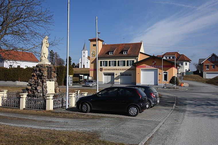
Photo: Nxr-at, CC BY-SA 4.0.
Eisenberg an der Pinka is a village situated 4 km southeast of Woppendorf.
Kotezicken
Village

Photo: Darinko, Public domain.
Kotezicken is a village situated 4 km southwest of Woppendorf.
Woppendorf
- Type: Village with 147 residents
- Description: locality and cadastral community in Oberwart District
- Categories: cadastral municipality of Austria and locality
- Location: Hannersdorf, Oberwart District, Burgenland, Austria, Central Europe, Europe
- View on OpenStreetMap
Latitude
47.20687° or 47° 12' 25" northLongitude
16.38994° or 16° 23' 24" eastPopulation
147Elevation
245 metres (804 feet)Open Location Code
8FVR694Q+PXOpenStreetMap ID
node 240050630OpenStreetMap Feature
place=villageGeoNames ID
2760856Wikidata ID
Q283075Woppendorf Satellite Map
© OpenStreetMap, Mapbox and Maxar
Also Known As
- Croatian: Woppendorf
- Czech: Woppendorf
- Dutch: Woppendorf
- Esperanto: Woppendorf
- French: Woppendorf
- German: Woppendorf
- Hungarian: Várújfalu
- Irish: Woppendorf
Localities in the Area
- BadersdorfVillage
- FeldhäuserHamlet
- HannersdorfVillage, 2½ km north
- HummerbergLocality, 3 km southeast
- WallerLocality, 3½ km east
Landmarks in the Area
- TennisPitch
- Friedhof BurgCemetery
- Filialkirche hl. AndreasChurch
- Steinbruch BadersdorfQuarry
- KönigsbergPeak
Popular Destinations in Burgenland
Discover Eisenstadt, Neusiedl am See, Rust and Güssing.
Escape to a Random Place
Discover other destinations in the world.
About Mapcarta. Thanks to Mapbox for providing amazing maps. Data © OpenStreetMap contributors and available under the Open Database License. Text is available under the CC BY-SA 4.0 license, excluding photos, directions and the map. Photo: Stefan Fadinger, CC BY-SA 4.0.