Wolfsthal
Wolfsthal is a village in Wolfsthal, Bruck an der Leitha District, Lower Austria and has about 750 residents. Wolfsthal is situated nearby to the neighborhoods Syráreň and Anjelské záhrady.Notable Places in the Area
Pfarrkirche Wolfsthal
Church

Photo: Liberaler Humanist, CC BY-SA 4.0.
Pfarrkirche Wolfsthal is a church.


Localities in the Area
Dlhé diely
Suburb
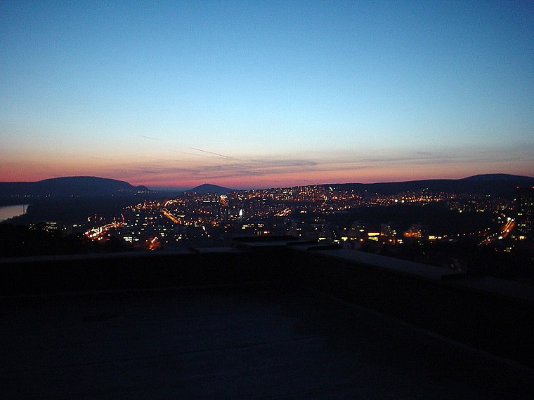
Photo: Wikimedia, Public domain.
Dlhé diely is a neighborhood of Bratislava, the capital of Slovakia, part of the Karlova Ves borough in the Bratislava IV district. Dlhé diely is situated 3½ km northeast of Wolfsthal.
Kútiky
Suburb

Photo: Wizzard, CC BY-SA 4.0.
Kútiky is a suburb situated 4 km northeast of Wolfsthal.
Karlova Ves
Town
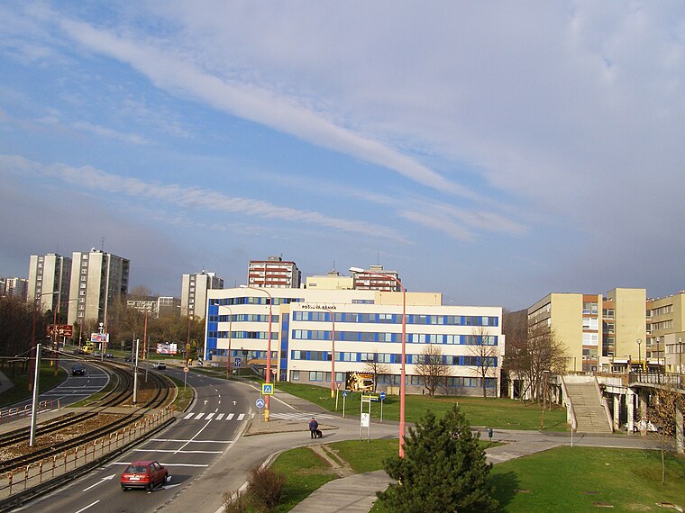
Photo: Kelovy, Public domain.
Karlova Ves is a borough in the city of Bratislava, the capital of Slovakia. Karlova Ves is situated 4 km northeast of Wolfsthal.
Wolfsthal
- Type: Village with 750 residents
- Category: locality
- Location: Wolfsthal, Bruck an der Leitha District, Lower Austria, Austria, Central Europe, Europe
- View on OpenStreetMap
Latitude
48.13499° or 48° 8' 6" northLongitude
17.00954° or 17° 0' 34" eastPopulation
750Elevation
159 metres (522 feet)Open Location Code
8FWV42M5+XROpenStreetMap ID
node 240130267OpenStreetMap Feature
place=villageGeoNames ID
2760895Wolfsthal Satellite Map
© OpenStreetMap, Mapbox and Maxar
Also Known As
- Chinese: 沃尔夫施塔尔
- Hebrew: וולפסטאל
- Hungarian: Farkasfalva
- Kazakh: Вольфсталь
- Russian: Вольфсталь
Other Places Named Wolfsthal
Localities in the Area
- SyráreňNeighborhood
- Anjelské záhradyNeighborhood, 2½ km north
- Zlaté schodyNeighborhood, 2½ km northeast
- Biela horaLocality, 2½ km north
- Karlovoveské ramenoLocality, 3 km northeast
Landmarks in the Area
- Gemeindeamt WolfsthalTown hall
- PfarrhofHistoric building
- FF WolfsthalFire station
- WolfsthalRailway station
- DorfplatzPark
Popular Destinations in Lower Austria
Discover St. Pölten, Wiener Neustadt, Amstetten and Klosterneuburg.
Escape to a Random Place
Discover other destinations in the world.
About Mapcarta. Thanks to Mapbox for providing amazing maps. Data © OpenStreetMap contributors and available under the Open Database License. Text is available under the CC BY-SA 4.0 license, excluding photos, directions and the map. Photo: Lonezor, CC BY-SA 3.0.