Schloss Weißenstein
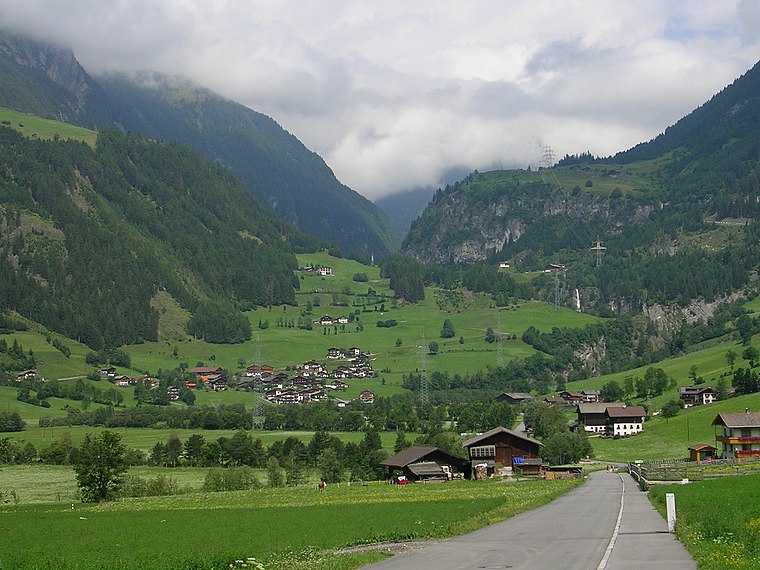
Schloss Weißenstein is a castle in Matrei in Osttirol, Lienz District, Tyrol located on Tauerntalstraße and has an elevation of 990 metres. Schloss Weißenstein is situated nearby to the village Kaltenhaus and the school Landesmusikschule Matrei-Iseltal.Photo: Haeferl, CC BY-SA 4.0.
- Type: Castle
- Description: building in Matrei in Osttirol, Austria
- Address: Tauerntalstraße 15, Matrei in Osttirol, 9971
Notable Places in the Area
Nationalparkhaus Matrei in Osttirol
Museum

Photo: Wikimedia, CC BY-SA 4.0.
Nationalparkhaus Matrei in Osttirol is a museum situated 1 km south of Schloss Weißenstein.
Klaunzkapelle
Church

Photo: Wikimedia, CC BY-SA 3.0.
Klaunzkapelle is a church situated 1 km southeast of Schloss Weißenstein.
Landesmusikschule Matrei-Iseltal
School

Photo: Haeferl, CC BY-SA 4.0.
Landesmusikschule Matrei-Iseltal is a school situated 750 metres south of Schloss Weißenstein.
Localities in the Area

Schloss Weißenstein
- Categories: building, historic site, tourist attraction and tourism
- Location: Matrei in Osttirol, Lienz District, Tyrol, Austria, Central Europe, Europe
- View on OpenStreetMap
Latitude
47.00849° or 47° 0' 31" northLongitude
12.53808° or 12° 32' 17" eastElevation
990 metres (3,248 feet)Open Location Code
8FVJ2G5Q+96OpenStreetMap ID
way 152791812OpenStreetMap Feature
building=yesOpenStreetMap Feature
historic=castleGeoNames ID
2761585Wikidata ID
Q21863922Schloss Weißenstein Satellite Map
© OpenStreetMap, Mapbox and Maxar
Also Known As
- Cebuano: Schloss Weißenstein
- German: Schloss Weißenstein
- Swedish: Schloss Weißenstein
- Schloss Weissenstein
Other Places Named Schloss Weißenstein
Localities in the Area
- HinterburgVillage
- KlaunzVillage
- BruggenVillage
- GlanzHamlet
- ProsseggklammLocality
Places in the Area
- Steiner MarkusWhitesmith, 120 metres southwest
- LZ 3350140 metres west
- Kindergarten Matrei in Osttirol - HinterburgKindergarten, 320 metres east
- WibmerJoiner, 410 metres northwest
- MAZ - Matreier Ärzte ZentrumClinic, 530 metres south
Escape to a Random Place
Discover other destinations in the world.
About Mapcarta. Thanks to Mapbox for providing amazing maps. Data © OpenStreetMap contributors and available under the Open Database License. Text is available under the CC BY-SA 4.0 license, excluding photos, directions and the map. Photo: Haeferl, CC BY-SA 4.0.