Unterwollanig
Unterwollanig is a neighborhood in Villach, Carinthia and has about 167 residents. Unterwollanig is situated nearby to the neighborhood Oberwollanig and the quarter Rennstein.Notable Places in the Area
Draukraftwerk Villach
Power station
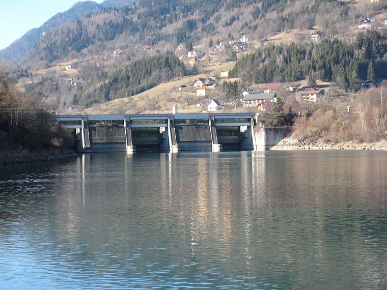
Photo: JJ55, CC BY-SA 3.0.
Draukraftwerk Villach is a power station.
Filialkirche Wollanig
Church

Photo: Johann Jaritz, CC BY-SA 3.0 at.
Filialkirche Wollanig is a church.

Localities in the Area
Treffen
Village

Photo: Johann Jaritz, CC BY-SA 4.0.
Treffen is a market town in the district of Villach-Land in Carinthia in south-central Austria. Treffen is situated 3½ km northeast of Unterwollanig.
Landskron
Suburb

Photo: Bwag, CC BY-SA 4.0.
Landskron is a suburb situated 4½ km east of Unterwollanig.
Äußere Einöde
Village

Photo: Naturpuur, CC BY-SA 4.0.
Äußere Einöde is a village situated 6 km north of Unterwollanig.
Unterwollanig
- Type: Neighborhood with 167 residents
- Category: locality
- Location: Villach, Carinthia, Austria, Central Europe, Europe
- View on OpenStreetMap
Latitude
46.64078° or 46° 38' 27" northLongitude
13.82637° or 13° 49' 35" eastPopulation
167Elevation
516 metres (1,693 feet)Open Location Code
8FRMJRRG+8GOpenStreetMap ID
node 240075486OpenStreetMap Feature
place=neighbourhoodGeoNames ID
2762542Unterwollanig Satellite Map
© OpenStreetMap, Mapbox and Maxar
Localities in the Area
- OberwollanigNeighborhood
- RennsteinQuarter
- GritschachNeighborhood
- Obere FellachSuburb
- Untere FellachSuburb
Landmarks in the Area
- KM 7 (draurad Marathon)Athletics track
- Feuerwehr OberwollanigFire station
- KM 6 (draurad Marathon)Athletics track
- Jumpzone XSports venue
- Polizeiinspektion NeufellachPolice station
Popular Destinations in Carinthia
Discover Klagenfurt, Wörthersee, Spittal an der Drau and Friesach.
Escape to a Random Place
Discover other destinations in the world.
About Mapcarta. Thanks to Mapbox for providing amazing maps. Data © OpenStreetMap contributors and available under the Open Database License. Text is available under the CC BY-SA 4.0 license, excluding photos, directions and the map. Photo: Wikimedia, CC BY-SA 3.0.