Unterpurkla
Unterpurkla is a village in Halbenrain, Südoststeiermark District, Styria and has about 291 residents. Unterpurkla is situated close to the hamlets Bachbrucken and Großgharter.Notable Places in the Area

Localities in the Area
Segovci
Village
Segovci is a village on the right bank of the Mura River in the Municipality of Apače in northeastern Slovenia, on the border with Austria. Segovci is situated 4½ km south of Unterpurkla.
Črnci
Village

Photo: Georg Matthäus Vischer, Public domain.
Črnci is a village in the Municipality of Apače in northeastern Slovenia.The Freudenau Mansion is an originally 17th-century Baroque mansion in the settlement that was renovated in a Neoclassical style in the 19th century. Črnci is situated 4½ km south of Unterpurkla.
Mahovci
Village
Mahovci is a village in the Municipality of Apače in northeastern Slovenia. Mahovci is situated 5 km south of Unterpurkla.
Unterpurkla
- Type: Village with 291 residents
- Category: locality
- Location: Halbenrain, Südoststeiermark District, Styria, Austria, Central Europe, Europe
- View on OpenStreetMap
Latitude
46.73288° or 46° 43' 58" northLongitude
15.90657° or 15° 54' 24" eastPopulation
291Elevation
222 metres (728 feet)Open Location Code
8FRQPWM4+5JOpenStreetMap ID
node 34956197OpenStreetMap Feature
place=villageGeoNames ID
2762706Unterpurkla Satellite Map
© OpenStreetMap, Mapbox and Maxar
Localities in the Area
- BachbruckenHamlet
- GroßgharterHamlet
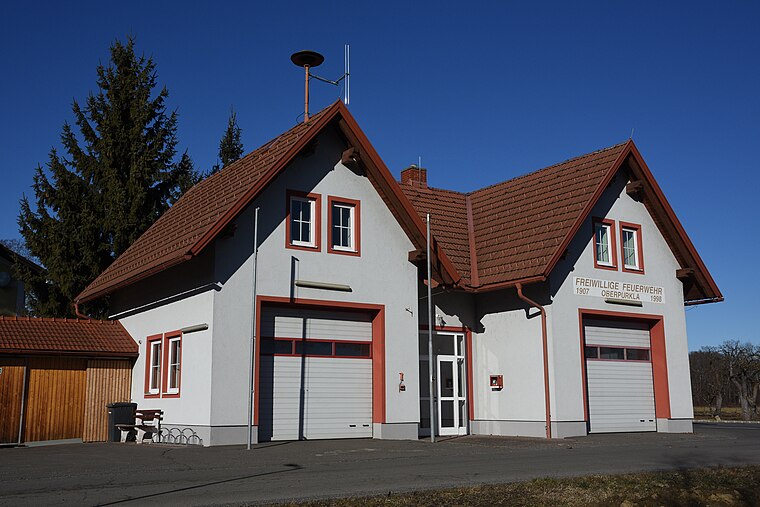
- OberpurklaHamlet
- DonnersdorfHamlet
- UnterauLocality
Landmarks in the Area
- Bahnhof UnterpurklaRailway station
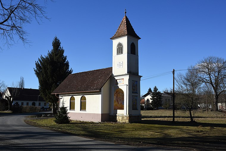
- Kapelle Donnersdorf/AuChurch
- Post Zustellbasis UnterpurklaPost office
- Ortskapelle MariahilfChapel
- Fußballplatz WeixelbaumPlayground, 2½ km west
Popular Destinations in Styria
Discover Graz, Leoben, Bruck an der Mur and Kapfenberg.
Escape to a Random Place
Discover other destinations in the world.
About Mapcarta. Thanks to Mapbox for providing amazing maps. Data © OpenStreetMap contributors and available under the Open Database License. Text is available under the CC BY-SA 4.0 license, excluding photos, directions and the map. Photo: Kmarka, CC BY-SA 3.0.