Unterloisdorf
Unterloisdorf is a village in Mannersdorf an der Rabnitz, Oberpullendorf District, Burgenland and has about 253 residents. Unterloisdorf is situated nearby to the villages Mannersdorf an der Rabnitz and Oberloisdorf.Notable Places in the Area
Kath. Filialkirche hl. Radegundis, Unterloisdorf
Church

Photo: Ufoao, CC BY-SA 3.0 at.
Kath. Filialkirche hl. Radegundis, Unterloisdorf is a church.
Schüttkasten Mannersdorf an der Rabnitz
Public building

Photo: Robert Heilinger, CC BY-SA 3.0.
Schüttkasten Mannersdorf an der Rabnitz is a public building.
Dorfzentrum, Schule, Unterloisdorf
Building

Photo: Hadinger, CC BY-SA 3.0 at.
Dorfzentrum, Schule, Unterloisdorf is a building.
Localities in the Area
Liebing
Village
Photo: Wikimedia, Public domain.
Liebing is a village in the district of Oberpullendorf in Burgenland in Austria. Liebing is situated 4 km southwest of Unterloisdorf.

Hammerteich
Village
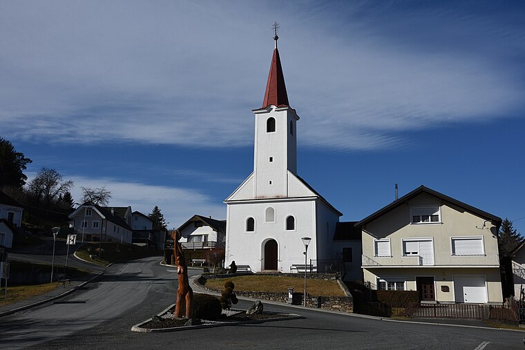
Photo: Iswoar, CC BY-SA 4.0.
Hammerteich is a village situated 8 km west of Unterloisdorf.
Unterloisdorf
- Type: Village with 253 residents
- Category: locality
- Location: Mannersdorf an der Rabnitz, Oberpullendorf District, Burgenland, Austria, Central Europe, Europe
- View on OpenStreetMap
Latitude
47.43688° or 47° 26' 13" northLongitude
16.53461° or 16° 32' 5" eastPopulation
253Elevation
234 metres (768 feet)Open Location Code
8FVRCGPM+QROpenStreetMap ID
node 240102381OpenStreetMap Feature
place=villageGeoNames ID
2762794Unterloisdorf Satellite Map
© OpenStreetMap, Mapbox and Maxar
Also Known As
- Croatian: Donji Loštrof
- Hungarian: Alsólászló
- Russian: Унтерлойсдорф
- Dolnji Loštrof
Localities in the Area
- Mannersdorf an der RabnitzVillage
- OberloisdorfVillage, 2½ km northwest
- KlostermarienbergVillage, 3 km southeast
- Sembajer-hegyLocality, 3 km south
- Központi bázisLocality, 3½ km south
Landmarks in the Area
- Friedhof UnterloisdorfCemetery
- Rochuskapelle UnterloisdorfWayside shrine
- SportplatzPitch
- Annakapelle, UnterloisdorfChurch
- FF MannersdorfFire station
Popular Destinations in Burgenland
Discover Eisenstadt, Neusiedl am See, Rust and Güssing.
Escape to a Random Place
Discover other destinations in the world.
About Mapcarta. Thanks to Mapbox for providing amazing maps. Data © OpenStreetMap contributors and available under the Open Database License. Text is available under the CC BY-SA 4.0 license, excluding photos, directions and the map. Photo: Cerana, CC BY-SA 3.0.