Unterbildein
Unterbildein is a village in Bildein, Güssing District, Burgenland and has about 166 residents. Unterbildein is situated close to the village Oberbildein and the locality Pinkaboden.Photo: Anton-kurt, CC BY-SA 4.0.
Notable Places in the Area


Hl. Johannes Nepomuk
Work of art
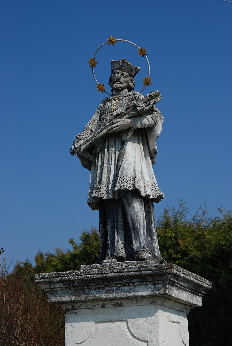
Photo: Ueb-at, CC BY-SA 3.0.
Hl. Johannes Nepomuk is a work of art.
Localities in the Area

Edlitz im Burgenland
Village

Photo: Anton-kurt, CC BY-SA 4.0.
Edlitz im Burgenland is a village situated 2½ km west of Unterbildein.
Höll
Hamlet
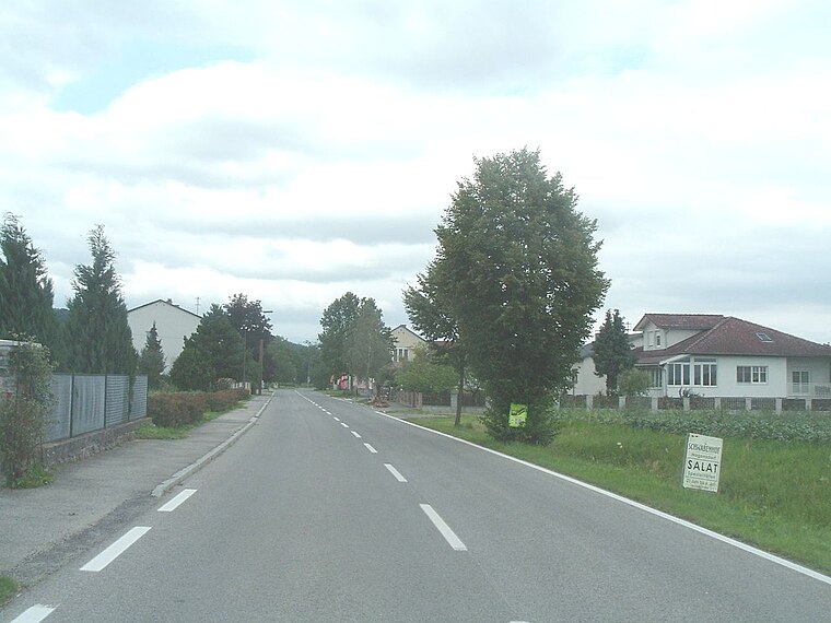
Photo: Darinko, Public domain.
Höll is a hamlet situated 2½ km northwest of Unterbildein.
Unterbildein
- Type: Village with 166 residents
- Description: locality and cadastral community in Güssing District
- Categories: cadastral municipality of Austria and locality
- Location: Bildein, Güssing District, Burgenland, Austria, Central Europe, Europe
- View on OpenStreetMap
Latitude
47.12866° or 47° 7' 43" northLongitude
16.46758° or 16° 28' 3" eastPopulation
166Elevation
226 metres (741 feet)Open Location Code
8FVR4FH9+F2OpenStreetMap ID
node 240124688OpenStreetMap Feature
place=villageGeoNames ID
2763095Wikidata ID
Q955466Unterbildein Satellite Map
© OpenStreetMap, Mapbox and Maxar
Also Known As
- Esperanto: Unterbildein
- German: Unterbildein
- Hungarian: Alsóbeled
- Irish: Unterbildein
- Russian: Унтербильдайн
Other Places Named Unterbildein
Localities in the Area
- PinkabodenLocality
- WintenHamlet
- EberauVillage, 2½ km south
- Kulm im BurgenlandVillage, 3 km southwest
- PornóapátiVillage, 3 km north
Landmarks in the Area
- burgenländische geschichte(n)hausMuseum
- Labyrinth
- Friedhof BildeinCemetery
- TennisPitch
- Schwimmende Brücke
Popular Destinations in Burgenland
Discover Eisenstadt, Neusiedl am See, Rust and Güssing.
Escape to a Random Place
Discover other destinations in the world.
About Mapcarta. Thanks to Mapbox for providing amazing maps. Data © OpenStreetMap contributors and available under the Open Database License. Text is available under the CC BY-SA 4.0 license, excluding photos, directions and the map. Photo: Anton-kurt, CC BY-SA 4.0.