Thomasroith
Thomasroith is a village in Ottnang am Hausruck, Vöcklabruck District, Upper Austria and has about 477 residents. Thomasroith is situated nearby to the hamlets Schlag and Stockedt.Notable Places in the Area

Bruckmuehl Parish Church
Church
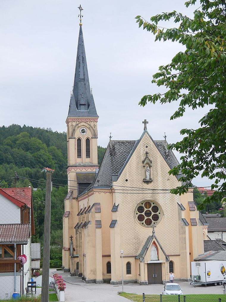
Photo: Thomas Ledl, CC BY-SA 3.0 at.
Bruckmuehl Parish Church is situated 3 km north of Thomasroith.
Pfarrkirche hl. Lorenz, Ungenach
Church

Photo: Bwag, CC BY-SA 3.0.
Pfarrkirche hl. Lorenz, Ungenach is a church situated 4 km south of Thomasroith.
Localities in the Area
Vöcklabruck
 Vöcklabruck is a small town in Upper Austria. Vöcklabruck is the capital city of the region with the same name.
Frankenburg am Hausruck
Village

Photo: Thomas Ledl, CC BY-SA 3.0 at.
Frankenburg am Hausruck is a municipality in the district of Vöcklabruck in the Austrian state of Upper Austria. Frankenburg am Hausruck is situated 9 km west of Thomasroith.
Thomasroith
- Type: Village with 477 residents
- Category: locality
- Location: Ottnang am Hausruck, Vöcklabruck District, Upper Austria, Austria, Central Europe, Europe
- View on OpenStreetMap
Latitude
48.08174° or 48° 4' 54" northLongitude
13.61764° or 13° 37' 4" eastPopulation
477Elevation
603 metres (1,978 feet)Open Location Code
8FWM3JJ9+M3OpenStreetMap ID
node 240053976OpenStreetMap Feature
place=villageGeoNames ID
2763678Thomasroith Satellite Map
© OpenStreetMap, Mapbox and Maxar
Localities in the Area
- SchlagHamlet
- StockedtHamlet
- PettenfirstHamlet
- OberkienbergHamlet
- KreuthHamlet
Landmarks in the Area
- PfenniggrubPeak
- Wald der Kinder
- Fussballplatz SV Zell am PettenfirstPitch
- FF Zell am PettenfirstFire station
- Trainingsplatz SV ZellPitch
Escape to a Random Place
Discover other destinations in the world.
About Mapcarta. Thanks to Mapbox for providing amazing maps. Data © OpenStreetMap contributors and available under the Open Database License. Text is available under the CC BY-SA 4.0 license, excluding photos, directions and the map. Photo: Traveler100, CC BY-SA 3.0.