Sumetendorf
Sumetendorf is a hamlet in Strem, Güssing District, Burgenland and has about 47 residents. Sumetendorf is situated close to the hamlets Stremer Berghäuser and Hamerlberg.Notable Places in the Area


Kath. Filialkirche zur seligsten Jungfrau Maria
Church

Photo: Ueb-at, CC BY-SA 3.0.
Kath. Filialkirche zur seligsten Jungfrau Maria is a church.
Localities in the Area
Reinersdorf
Village
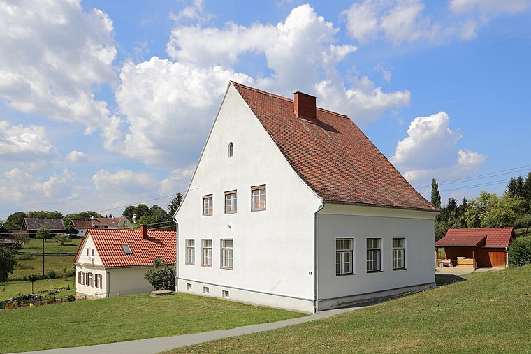
Photo: Bwag, CC BY-SA 3.0 at.
Reinersdorf is a village situated 3½ km south of Sumetendorf.
Sankt Nikolaus
Village

Photo: Niki.L, CC BY-SA 4.0.
Sankt Nikolaus is a village situated 5 km west of Sumetendorf.
Sumetendorf
- Type: Hamlet with 47 residents
- Description: locality and cadastral community in Güssing District
- Categories: cadastral municipality of Austria and locality
- Location: Strem, Güssing District, Burgenland, Austria, Central Europe, Europe
- View on OpenStreetMap
Latitude
47.04413° or 47° 2' 39" northLongitude
16.39524° or 16° 23' 43" eastPopulation
47Elevation
214 metres (702 feet)Open Location Code
8FVR29VW+M3OpenStreetMap ID
node 240106411OpenStreetMap Feature
place=hamletGeoNames ID
2763989Wikidata ID
Q2365202Sumetendorf Satellite Map
© OpenStreetMap, Mapbox and Maxar
Also Known As
- Esperanto: Sumetendorf
- German: Sumetendorf
- German: Szombatfa
- Hungarian: Szombatfa
- Irish: Sumetendorf
- Japanese: ズメーテンドルフ
Other Places Named Sumetendorf
Localities in the Area
- Stremer BerghäuserHamlet
- HamerlbergHamlet
- Stremer MühleLocality
- StremVillage
- HeiligenbrunnVillage, 2½ km southeast
Landmarks in the Area
- OrtskapelleChurch
- Friedhof SumetendorfCemetery
- LahmbergPeak
- PostpartnerPost office
- GemeindeamtTown hall
Popular Destinations in Burgenland
Discover Eisenstadt, Neusiedl am See, Rust and Güssing.
Escape to a Random Place
Discover other destinations in the world.
About Mapcarta. Thanks to Mapbox for providing amazing maps. Data © OpenStreetMap contributors and available under the Open Database License. Text is available under the CC BY-SA 4.0 license, excluding photos, directions and the map. Photo: Cerana, CC BY-SA 3.0.