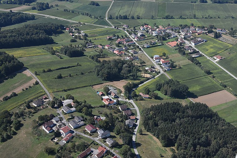
Sulz im Burgenland
Sulz im Burgenland is a village in Gerersdorf-Sulz, Güssing District, Burgenland and has about 342 residents. Sulz im Burgenland is situated nearby to the hamlet Salaibergen and the village Gerersdorf bei Güssing.Notable Places in the Area

Hausberganlage Taborriegel
Archaeological site

Photo: Robert Heilinger, CC BY-SA 3.0.
Hausberganlage Taborriegel is an archaeological site.
Kath. Filialkirche hl. Anna
Church

Photo: Ueb-at, CC BY-SA 3.0.
Kath. Filialkirche hl. Anna is a church situated 2½ km west of Sulz im Burgenland.
Localities in the Area


Sulz im Burgenland
- Type: Village with 342 residents
- Description: locality and cadastral municipality in Güssing District
- Categories: cadastral municipality of Austria and locality
- Location: Gerersdorf-Sulz, Güssing District, Burgenland, Austria, Central Europe, Europe
- View on OpenStreetMap
Latitude
47.0759° or 47° 4' 33" northLongitude
16.269° or 16° 16' 8" eastPopulation
342Elevation
228 metres (748 feet)Open Location Code
8FVR37G9+9HOpenStreetMap ID
node 36432719OpenStreetMap Feature
place=villageGeoNames ID
2764001Wikidata ID
Q2364963Sulz im Burgenland Satellite Map
© OpenStreetMap, Mapbox and Maxar
Also Known As
- Esperanto: Sulz im Burgenland
- German: Sulz im Burgenland
- Hungarian: Sóskútfalu
- Irish: Sulz im Burgenland
- Japanese: ズルツ・イム・ブルゲンラント
- Sulz
- Sulz am Zickenbach
Localities in the Area
- SalaibergenHamlet
- Fabianische HäuserHamlet
- SauerbergHamlet
- Hasendorf im BurgenlandHamlet
- TanczoschbergLocality
Landmarks in the Area
- FußballplatzPitch
- Wegkapelle hl. MatthäusChurch
- Friedhof Gerersdorf bei GüssingCemetery
- Friedhof SteingrabenCemetery
- TemmisPitch
Popular Destinations in Burgenland
Discover Eisenstadt, Neusiedl am See, Rust and Güssing.
Escape to a Random Place
Discover other destinations in the world.
About Mapcarta. Thanks to Mapbox for providing amazing maps. Data © OpenStreetMap contributors and available under the Open Database License. Text is available under the CC BY-SA 4.0 license, excluding photos, directions and the map. Photo: Cerana, CC BY-SA 3.0.