Schönherrn
Schönherrn is a hamlet in Wiesfleck, Oberwart District, Burgenland and has about 77 residents. Schönherrn is situated close to the villages Schmiedrait and Schreibersdorf.Notable Places in the Area
Category:Filialkirche Wiesfleck
Church

Photo: Ueb-at, CC BY-SA 3.0.
Category:Filialkirche Wiesfleck is a church situated 3 km southwest of Schönherrn.
Filialkirche Maria Hilf, Sparberegg
Church
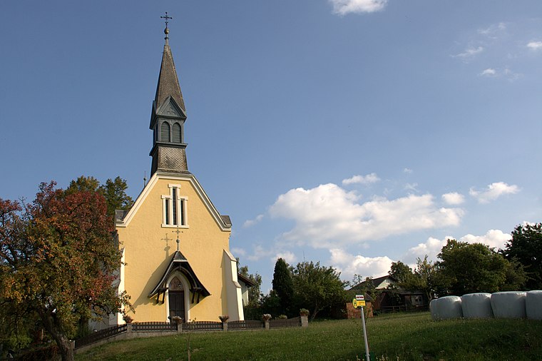
Photo: Wolf32at, CC BY-SA 3.0 at.
Filialkirche Maria Hilf, Sparberegg is a church situated 3½ km northwest of Schönherrn.
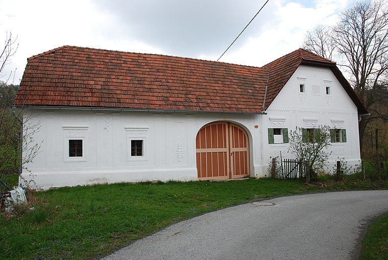
Filialkirche Hochart
Church

Photo: Ueb-at, CC BY-SA 3.0.
Filialkirche Hochart is a church situated 4 km west of Schönherrn.
Localities in the Area


Schönherrn
- Type: Hamlet with 77 residents
- Description: locality and cadastral community in Oberwart District
- Categories: locality and cadastral municipality of Austria
- Location: Wiesfleck, Oberwart District, Burgenland, Austria, Central Europe, Europe
- View on OpenStreetMap
Latitude
47.41043° or 47° 24' 38" northLongitude
16.16374° or 16° 9' 50" eastPopulation
77Elevation
589 metres (1,932 feet)Open Location Code
8FVRC567+5FOpenStreetMap ID
node 240031434OpenStreetMap Feature
place=hamletGeoNames ID
2765676Wikidata ID
Q1303173Schönherrn Satellite Map
© OpenStreetMap, Mapbox and Maxar
Also Known As
- Bavarian: Schönherrn
- Esperanto: Schönherrn
- German: Schönherrn
- Hungarian: Szépúr
- Irish: Schönherrn
- Schoenherrn
Localities in the Area
- OberweinbergHamlet
- Aschauer-AuLocality
- UnterweinbergHamlet, 2½ km south
- OffeneggHamlet, 2½ km northeast
- Aschau im BurgenlandVillage, 3 km east
Landmarks in the Area
- RückhaltebeckenGrassland
- PatrizlmühleRuins
- FeuerwehrhausFire station
Popular Destinations in Burgenland
Discover Eisenstadt, Neusiedl am See, Rust and Güssing.
Escape to a Random Place
Discover other destinations in the world.
About Mapcarta. Thanks to Mapbox for providing amazing maps. Data © OpenStreetMap contributors and available under the Open Database License. Text is available under the CC BY-SA 4.0 license, excluding photos, directions and the map. Photo: Cerana, CC BY-SA 3.0.