Sankt Paul an der Gail
Sankt Paul an der Gail is a hamlet in St. Stefan im Gailtal, Hermagor District, Carinthia and has about 99 residents. Sankt Paul an der Gail is situated nearby to the hamlets Karnitzen and Bichlhof.Notable Places in the Area
Filialkirche hl. Nikolaus, Nötsch
Church

Photo: Johann Jaritz, CC BY-SA 4.0.
Filialkirche hl. Nikolaus, Nötsch is a church.
Schloss Kerscheneck, Nötsch
Building

Photo: Johann Jaritz, CC BY-SA 4.0.
Schloss Kerscheneck, Nötsch is a building.
Burgruine Aichelburg
Castle

Photo: Johann Weikhard von Valvasor, Public domain.
Burgruine Aichelburg is a castle situated 3½ km west of Sankt Paul an der Gail.
Localities in the Area
Feistritz an der Gail
Village
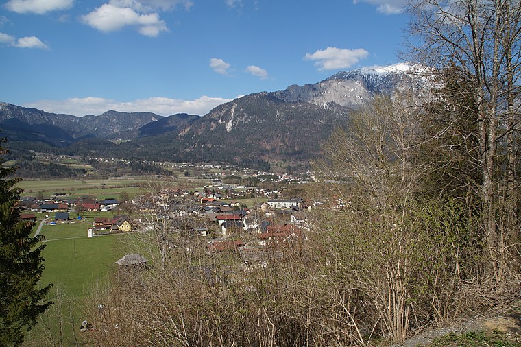
Photo: TheRunnerUp, CC BY-SA 4.0.
Feistritz an der Gail, often referred to as simply Feistritz, is a town in the district of Villach-Land in Carinthia in Austria. Feistritz an der Gail is situated 5 km southeast of Sankt Paul an der Gail.
Görtschach
Village

Photo: Johann Jaritz, CC BY-SA 4.0.
Görtschach is a village situated 6 km west of Sankt Paul an der Gail.
Sankt Paul an der Gail
- Type: Hamlet with 99 residents
- Category: locality
- Location: St. Stefan im Gailtal, Hermagor District, Carinthia, Austria, Central Europe, Europe
- View on OpenStreetMap
Latitude
46.60453° or 46° 36' 16" northLongitude
13.55558° or 13° 33' 20" eastPopulation
99Elevation
719 metres (2,359 feet)Open Location Code
8FRMJH34+R6OpenStreetMap ID
node 240051166OpenStreetMap Feature
place=hamletGeoNames ID
2766460Sankt Paul an der Gail Satellite Map
© OpenStreetMap, Mapbox and Maxar
Also Known As
- Sankt Paul
Localities in the Area
Landmarks in the Area
- FF Wetschach-KerschdorfFire station
- Emmersdorf im GailtalRailway station
- Bahnhof St. Stefan-VorderbergRailway station
- St. Stefan-VorderbergRailway station
- FF TrattenFire station
Popular Destinations in Carinthia
Discover Klagenfurt, Villach, Wörthersee and Spittal an der Drau.
Escape to a Random Place
Discover other destinations in the world.
About Mapcarta. Thanks to Mapbox for providing amazing maps. Data © OpenStreetMap contributors and available under the Open Database License. Text is available under the CC BY-SA 4.0 license, excluding photos, directions and the map. Photo: Wikimedia, CC BY-SA 3.0.