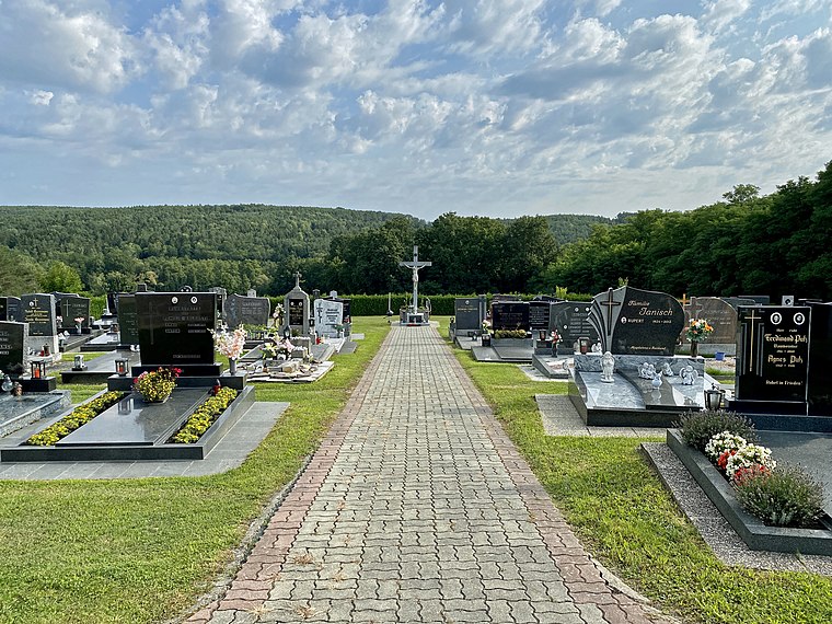
Rohrbach an der Teich
Rohrbach an der Teich is a village in Mischendorf, Oberwart District, Burgenland and has about 264 residents. Rohrbach an der Teich is situated close to the villages Großbachselten and Kleinbachselten.Photo: Funke, CC BY-SA 4.0.
Photo: Funke, CC BY-SA 4.0.
Notable Places in the Area
Filialkirche Christi Himmelfahrt, Rohrbach an der Teich
Church

Photo: Funke, CC BY-SA 4.0.
Filialkirche Christi Himmelfahrt, Rohrbach an der Teich is a church.
Kirche Neuhaus in der Wart
Church
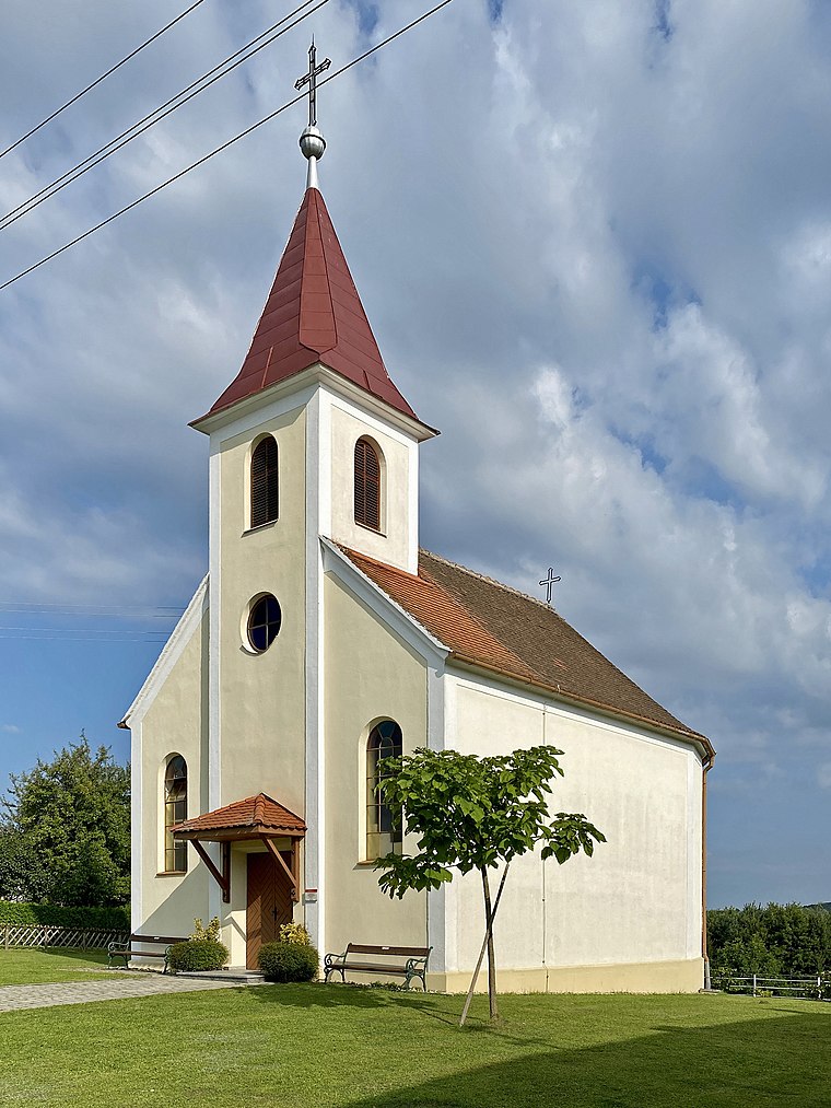
Photo: Funke, CC BY-SA 4.0.
Kirche Neuhaus in der Wart is a church.
Localities in the Area


Neuhaus in der Wart
Village

Photo: Funke, CC BY-SA 4.0.
Neuhaus in der Wart is a Katastralgemeinde of the municipality Mischendorf in southern Burgenland, Austria.
Rohrbach an der Teich
- Type: Village with 264 residents
- Description: locality and cadastral community in Oberwart District
- Categories: cadastral municipality of Austria and locality
- Location: Mischendorf, Oberwart District, Burgenland, Austria, Central Europe, Europe
- View on OpenStreetMap
Latitude
47.2102° or 47° 12' 37" northLongitude
16.28612° or 16° 17' 10" eastPopulation
264Elevation
343 metres (1,125 feet)Open Location Code
8FVR676P+3COpenStreetMap ID
node 240037345OpenStreetMap Feature
place=villageGeoNames ID
2767284Wikidata ID
Q701702Rohrbach an der Teich Satellite Map
© OpenStreetMap, Mapbox and Maxar
Also Known As
- Esperanto: Rohrbach an der Teich
- French: Rohrbach-sur-le-Teich
- French: Rohrbach an der Teich
- German: Rohrbach an der Teich
- Hungarian: Jobbágyújfalu
- Irish: Rohrbach an der Teich
- Japanese: ローアバハ・アン・デア・タイヒ
- Rohrbach
Localities in the Area
- Rohrbacher BergenHamlet
- Neuberger BergenHamlet
- MischendorfVillage, 2½ km southeast
- BorjeLocality, 3 km south
- PerlmühleLocality, 3½ km east
Landmarks in the Area
- SaubergPeak
- UngarbergPeak
- Bildstock Neuhaus in der WartWayside shrine
- Glockenturm KleinbachseltenTower
- Neuhaus in der Wart MortuaryBuilding
Popular Destinations in Burgenland
Discover Eisenstadt, Neusiedl am See, Rust and Güssing.
Escape to a Random Place
Discover other destinations in the world.
About Mapcarta. Thanks to Mapbox for providing amazing maps. Data © OpenStreetMap contributors and available under the Open Database License. Text is available under the CC BY-SA 4.0 license, excluding photos, directions and the map. Photo: Funke, CC BY-SA 4.0.