Reichersdorf
Reichersdorf is a village in Nußdorf ob der Traisen, Sankt Pölten-Land District, Lower Austria and has about 481 residents. Reichersdorf is situated nearby to the villages Getzersdorf and Franzhausen.Notable Places in the Area

Ortskapelle Wagram ob der Traisen
Church
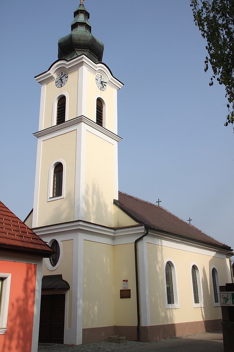
Photo: WA-Wien, CC BY-SA 3.0.
Ortskapelle Wagram ob der Traisen is a church situated 3 km north of Reichersdorf.
Römertor, Wiener Tor, Traismauer
Castle

Photo: Bwag, CC BY-SA 4.0.
Römertor, Wiener Tor, Traismauer is a castle situated 3½ km east of Reichersdorf.
Localities in the Area
Meidling
Village

Photo: Fotofriend, CC BY-SA 3.0 at.
Meidling is a village situated 5 km west of Reichersdorf.
Fugging
Village
 Fugging is a village in the municipality of Obritzberg-Rust, Sankt Pölten-Land, Austria. Fugging is situated 7 km southwest of Reichersdorf.

Reichersdorf
- Type: Village with 481 residents
- Category: locality
- Location: Nußdorf ob der Traisen, Sankt Pölten-Land District, Lower Austria, Austria, Central Europe, Europe
- View on OpenStreetMap
Latitude
48.33827° or 48° 20' 18" northLongitude
15.69888° or 15° 41' 56" eastPopulation
481Elevation
234 metres (768 feet)United Nations Location Code
AT RSDOpen Location Code
8FWQ8MQX+8HOpenStreetMap ID
node 176685169OpenStreetMap Feature
place=villageGeoNames ID
2767751Reichersdorf Satellite Map
© OpenStreetMap, Mapbox and Maxar
Other Places Named Reichersdorf
Localities in the Area
- GetzersdorfVillage
- FranzhausenVillage
- TheyernVillage
- NeusiedlVillage
- FräuleinmühleHamlet
Landmarks in the Area
- Freiwillige Feuerwehr ReichersdorfFire station
- Weingut HuberWinery
- Winzerhof WallnerWinery
- Winzerhof Markus MüllerWinery
- Hochbehälter ReichersdorfReservoir
Popular Destinations in Lower Austria
Discover St. Pölten, Wiener Neustadt, Amstetten and Klosterneuburg.
Escape to a Random Place
Discover other destinations in the world.
About Mapcarta. Thanks to Mapbox for providing amazing maps. Data © OpenStreetMap contributors and available under the Open Database License. Text is available under the CC BY-SA 4.0 license, excluding photos, directions and the map. Photo: Lonezor, CC BY-SA 3.0.