Rainbach im Innkreis
Rainbach im Innkreis is a village in Rainbach im Innkreis, Schärding District, Upper Austria and has about 183 residents. Rainbach im Innkreis is situated nearby to the hamlets Hauzing and Randolfing.Notable Places in the Area
Localities in the Area
Sankt Florian am Inn
Village

Photo: Konrad Lackerbeck, CC BY 3.0.
Sankt Florian am Inn is a municipality in the district of Schärding in the Austrian state of Upper Austria. Sankt Florian am Inn is situated 7 km west of Rainbach im Innkreis.
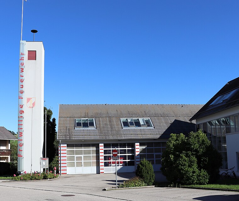
Vornbach
Village

Photo: Aconcagua, CC BY-SA 3.0.
Vornbach is a village situated 8 km northwest of Rainbach im Innkreis.
Neuhaus am Inn
Village

Photo: Konrad Lackerbeck, CC BY 3.0.
Neuhaus is a municipality in the district of Passau in Bavaria in Germany. Neuhaus am Inn is situated 8 km west of Rainbach im Innkreis.
Rainbach im Innkreis
- Type: Village with 183 residents
- Category: locality
- Location: Rainbach im Innkreis, Schärding District, Upper Austria, Austria, Central Europe, Europe
- View on OpenStreetMap
Latitude
48.45514° or 48° 27' 19" northLongitude
13.53432° or 13° 32' 4" eastPopulation
183Elevation
363 metres (1,191 feet)Open Location Code
8FWMFG4M+3POpenStreetMap ID
node 240062710OpenStreetMap Feature
place=villageGeoNames ID
2768054Rainbach im Innkreis Satellite Map
© OpenStreetMap, Mapbox and Maxar
Also Known As
- Rainbach
Other Places Named Rainbach im Innkreis
Localities in the Area
- HauzingHamlet
- RandolfingHamlet
- SumetsradHamlet
- HaselbachHamlet
- PfaffingHamlet
Landmarks in the Area
- SchwimmteichBasin
- FreibadWater park
- Kapelle PfaffingChurch
- BründlkapelleChapel
- Sallinger HolzForest, 2½ km north
Escape to a Random Place
Discover other localities in the world.
About Mapcarta. Thanks to Mapbox for providing amazing maps. Data © OpenStreetMap contributors and available under the Open Database License. Text is available under the CC BY-SA 4.0 license, excluding photos, directions and the map. Photo: Traveler100, CC BY-SA 3.0.