Palterndorf
Palterndorf is a village in Palterndorf-Dobermannsdorf, Gänserndorf District, Lower Austria and has about 605 residents. Palterndorf is situated close to the village Dobermannsdorf and the locality Im Schotter.Notable Places in the Area

Schloss Niederabsdorf
Castle

Photo: Priwo, Public domain.
Schloss Niederabsdorf is a castle situated 4 km southeast of Palterndorf.
Localities in the Area
Ringelsdorf-Niederabsdorf
Village

Photo: Priwo, Public domain.
Ringelsdorf-Niederabsdorf is a town in the district of Gänserndorf in the Austrian state of Lower Austria. Ringelsdorf-Niederabsdorf is situated 5 km southeast of Palterndorf.
Hohenau an der March
Village
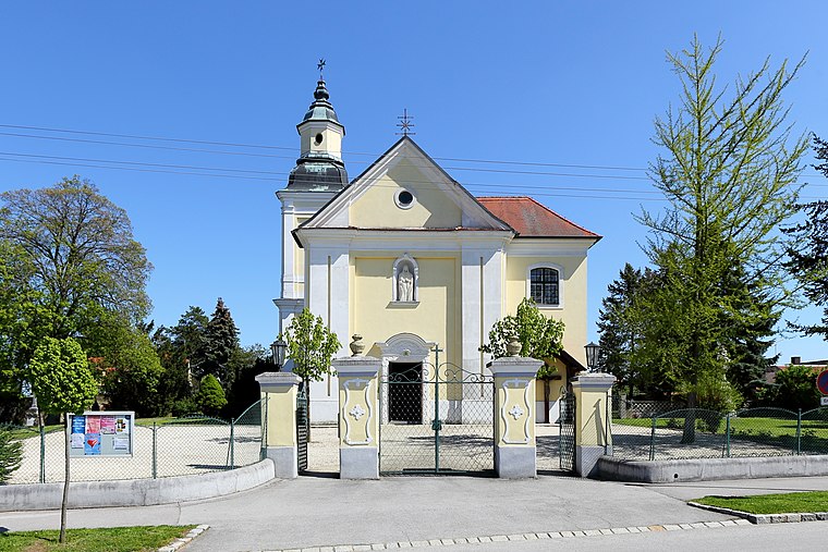
Photo: Bwag, CC BY-SA 4.0.
Hohenau an der March is a town in the district of Gänserndorf in the Austrian state of Lower Austria, close to Vienna and the borders with the Czech Republic and Slovakia. Hohenau an der March is situated 6 km east of Palterndorf.
Palterndorf
- Type: Village with 605 residents
- Category: locality
- Location: Palterndorf-Dobermannsdorf, Gänserndorf District, Lower Austria, Austria, Central Europe, Europe
- View on OpenStreetMap
Latitude
48.59037° or 48° 35' 25" northLongitude
16.81823° or 16° 49' 6" eastPopulation
605Elevation
169 metres (554 feet)Open Location Code
8FWRHRR9+47OpenStreetMap ID
node 45040122OpenStreetMap Feature
place=villageGeoNames ID
2769264Palterndorf Satellite Map
© OpenStreetMap, Mapbox and Maxar
Other Places Named Palterndorf
Localities in the Area
- DobermannsdorfVillage
- Im SchotterLocality
- Oberer SandLocality
- Unteres FeldLocality
- Oberes GmirkLocality
Landmarks in the Area
- Kirche Maria HimmelfahrtChurch
- JohanneskapelleChurch
- Friedhof PalterndorfCemetery
- SportplatzPitch
- Beach-Volleyball-PlatzPitch
Popular Destinations in Lower Austria
Discover St. Pölten, Wiener Neustadt, Amstetten and Klosterneuburg.
Escape to a Random Place
Discover other destinations in the world.
About Mapcarta. Thanks to Mapbox for providing amazing maps. Data © OpenStreetMap contributors and available under the Open Database License. Text is available under the CC BY-SA 4.0 license, excluding photos, directions and the map. Photo: Lonezor, CC BY-SA 3.0.