Oberrohrbach
Oberrohrbach is a village in Leobendorf, Korneuburg District, Lower Austria and has about 827 residents. Oberrohrbach is situated close to the villages Kleinwilfersdorf and Unterrohrbach.Notable Places in the Area
Waschberg
Peak

Photo: Stefan.lefnaer, CC BY-SA 4.0.
Waschberg is a peak situated 3 km northwest of Oberrohrbach.
Michelberg
Peak
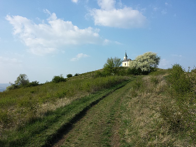
Photo: Stefan.lefnaer, CC BY-SA 3.0.
Michelberg is a peak situated 3½ km north of Oberrohrbach.
Chapel at Michelberg (Lower Austria)
Church
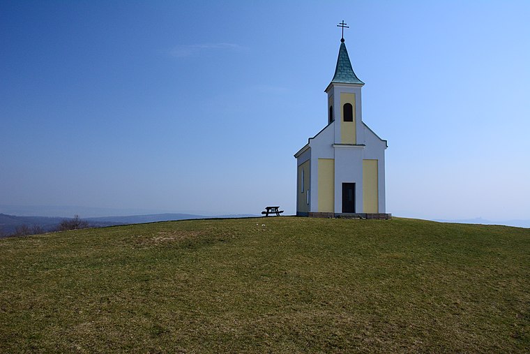
Photo: GuentherZ, CC BY-SA 4.0.
Chapel at Michelberg (Lower Austria) is a church situated 3½ km north of Oberrohrbach.
Localities in the Area
Harmannsdorf
Village

Photo: Naoag, CC BY-SA 3.0.
Harmannsdorf is a municipality of Korneuburg in Austria. Harmannsdorf is situated 6 km east of Oberrohrbach.
Stockerau
Town

Photo: Bwag, CC BY-SA 4.0.
Stockerau is a town in the district of Korneuburg in Lower Austria, Austria. Stockerau is situated 7 km west of Oberrohrbach.
Unterzögersdorf
Village

Photo: PLauppert, CC BY-SA 3.0 at.
Unterzögersdorf is a village situated 9 km west of Oberrohrbach.
Oberrohrbach
- Type: Village with 827 residents
- Description: locality and cadastral community in Korneuburg District
- Categories: cadastral municipality of Austria and locality
- Location: Leobendorf, Korneuburg District, Lower Austria, Austria, Central Europe, Europe
- View on OpenStreetMap
Latitude
48.39689° or 48° 23' 49" northLongitude
16.29569° or 16° 17' 45" eastPopulation
827Elevation
194 metres (636 feet)United Nations Location Code
AT ORBOpen Location Code
8FWR97WW+Q7OpenStreetMap ID
node 123987089OpenStreetMap Feature
place=villageGeoNames ID
2769770Wikidata ID
Q105973280Oberrohrbach Satellite Map
© OpenStreetMap, Mapbox and Maxar
Also Known As
- Dutch: Oberrohrbach
- German: Oberrohrbach
- Irish: Oberrohrbach
Other Places Named Oberrohrbach
Localities in the Area
- KleinwilfersdorfVillage
- UnterrohrbachVillage
- In der langen AuLocality
- SteinmandelnLocality, 3 km northeast
- LeobendorfVillage, 3 km southeast
Landmarks in the Area
- Postpartner 2105, Gemischt- und TabakwarenPost office
- NotkircheChurch
- Filialkirche vom Erbarmen GottesChurch
- Freiwillige Feuerwehr OberrohrbachFire station
- Friedhof OberrohrbachCemetery
Popular Destinations in Lower Austria
Discover St. Pölten, Wiener Neustadt, Amstetten and Klosterneuburg.
Escape to a Random Place
Discover other destinations in the world.
About Mapcarta. Thanks to Mapbox for providing amazing maps. Data © OpenStreetMap contributors and available under the Open Database License. Text is available under the CC BY-SA 4.0 license, excluding photos, directions and the map. Photo: Lonezor, CC BY-SA 3.0.