Oberpodgoria
Oberpodgoria is a village in Weiden bei Rechnitz, Oberwart District, Burgenland and has about 108 residents. Oberpodgoria is situated close to the hamlet Parapatitschberg and the village Rumpersdorf.Photo: Wikimedia, Public domain.
Notable Places in the Area


Großer Hirschenstein
Scenic viewpoint

Photo: Pan Peter12, CC BY-SA 4.0.
Großer Hirschenstein is a scenic viewpoint situated 3½ km northeast of Oberpodgoria.
Localities in the Area

Rauhriegel
Hamlet

Photo: Wikimedia, Public domain.
Rauhriegel, Hungarian: Füsthegy; Croatian: Roriglyin; is a small village and cadastral community located within the municipality of Weiden bei Rechnitz in Oberwart district, which is located in the Austrian state of Burgenland. Rauhriegel is situated 3½ km west of Oberpodgoria.
Glashütten bei Schlaining
Village
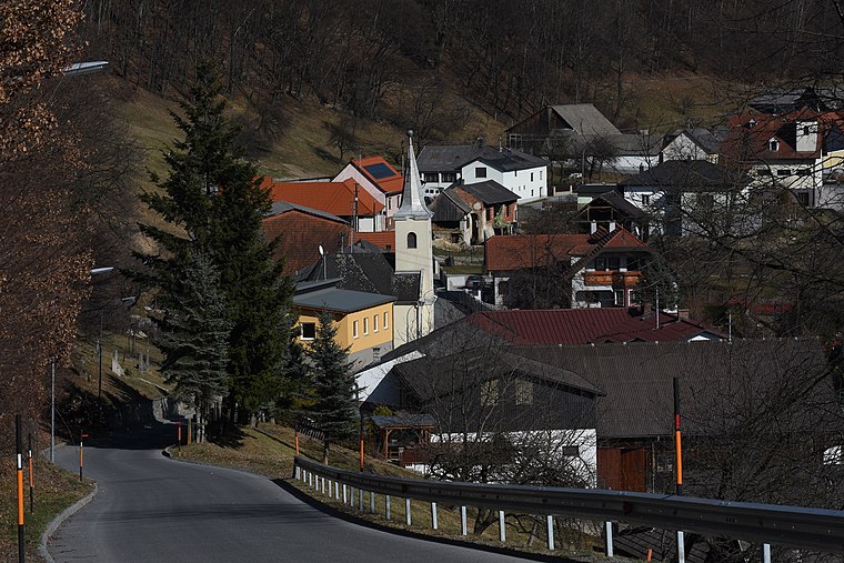
Photo: Nxr-at, CC BY-SA 4.0.
Glashütten bei Schlaining is an Austrian dependent hamlet in the federal state of Burgenland. Glashütten bei Schlaining is situated 4½ km north of Oberpodgoria.
Oberpodgoria
- Type: Village with 108 residents
- Description: locality in Oberwart District
- Category: locality
- Location: Weiden bei Rechnitz, Oberwart District, Burgenland, Austria, Central Europe, Europe
- View on OpenStreetMap
Latitude
47.32186° or 47° 19' 19" northLongitude
16.34599° or 16° 20' 46" eastPopulation
108Elevation
484 metres (1,588 feet)Open Location Code
8FVR88CW+P9OpenStreetMap ID
node 240037628OpenStreetMap Feature
place=villageGeoNames ID
2769824Wikidata ID
Q1057027Oberpodgoria Satellite Map
© OpenStreetMap, Mapbox and Maxar
Also Known As
- Croatian: Podgorje
- English: Hármasfalu
- English: Podgorje
- Esperanto: Podgoria
- German: Oberpodgoria
- Hungarian (Historic): Podgoria
- Hungarian: Felsőpodgoria
- Hungarian: Hármasfalu
- Oberpodgoria/Podgorje
Other Places Named Oberpodgoria
Localities in the Area
- UnterpodgoriaHamlet
- ParapatitschbergHamlet
- RumpersdorfVillage
- Weiden bei RechnitzVillage
- AlthodisVillage
Landmarks in the Area
- Kirche PodgoriaChurch
- FeuerwehrhausFire station
- Friedhof PodgoriaCemetery
- Kapelle UnterpodgoriaChurch
- Große PlischaPeak
Popular Destinations in Burgenland
Discover Eisenstadt, Neusiedl am See, Rust and Güssing.
Escape to a Random Place
Discover other destinations in the world.
About Mapcarta. Thanks to Mapbox for providing amazing maps. Data © OpenStreetMap contributors and available under the Open Database License. Text is available under the CC BY-SA 4.0 license, excluding photos, directions and the map. Photo: Wikimedia, Public domain.