Kühnsdorf
Kühnsdorf is a village in Eberndorf, Völkermarkt District, Carinthia and has about 1,600 residents. Kühnsdorf is situated close to the neighborhoods Nord and Mitte.Notable Places in the Area
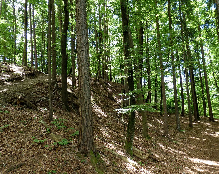
Georgiberg
Peak

Photo: Jsembdn3, CC BY-SA 4.0.
Georgiberg is a peak situated 3 km southwest of Kühnsdorf.
Georgikirche
Church

Photo: Niki.L, CC BY-SA 4.0.
Georgikirche is a church situated 3 km southwest of Kühnsdorf.
Kühnsdorf
- Type: Village with 1,600 residents
- Category: locality
- Location: Eberndorf, Völkermarkt District, Carinthia, Austria, Central Europe, Europe
- View on OpenStreetMap
Latitude
46.62238° or 46° 37' 21" northLongitude
14.63275° or 14° 37' 58" eastPopulation
1,600Elevation
439 metres (1,440 feet)United Nations Location Code
AT KUDOpen Location Code
8FRPJJCM+X3OpenStreetMap ID
node 186645262OpenStreetMap Feature
place=villageGeoNames ID
2773278Kühnsdorf Satellite Map
© OpenStreetMap, Mapbox and Maxar
Also Known As
- Kuehnsdorf
Other Places Named Kühnsdorf
Localities in the Area
- NordNeighborhood
- MitteNeighborhood
- OstNeighborhood
- LerchenfeldNeighborhood
- SeebachHamlet
Landmarks in the Area
- St. ÄgydiusChurch
- 9125 KühnsdorfPost office
- GymnastikparkPark
- Bahnhof Kühnsdorf-Klopeiner SeeRailway station
- Kühnsdorf-Klopeiner SeeRailway station
Popular Destinations in Carinthia
Discover Klagenfurt, Villach, Wörthersee and Spittal an der Drau.
Escape to a Random Place
Discover other destinations in the world.
About Mapcarta. Thanks to Mapbox for providing amazing maps. Data © OpenStreetMap contributors and available under the Open Database License. Text is available under the CC BY-SA 4.0 license, excluding photos, directions and the map. Photo: Wikimedia, CC BY-SA 3.0.