Kroatisch Tschantschendorf
Kroatisch Tschantschendorf is a hamlet in Tobaj, Güssing District, Burgenland and has about 94 residents. Kroatisch Tschantschendorf is situated nearby to the hamlet Tudersdorf and the village Deutsch Tschantschendorf.Notable Places in the Area

Kath. Filialkirche hl. Vitus
Church

Photo: Ueb-at, CC BY-SA 3.0.
Kath. Filialkirche hl. Vitus is a church situated 2½ km northwest of Kroatisch Tschantschendorf.
Landtechnikmuseum Burgenland
Museum

Photo: Nxr-at, CC BY-SA 4.0.
Landtechnikmuseum Burgenland is situated 3½ km north of Kroatisch Tschantschendorf.
Localities in the Area
Steingraben
Village

Photo: Gliwi, CC BY-SA 4.0.
Steingraben is a village situated 4 km south of Kroatisch Tschantschendorf.
Gerersdorf bei Güssing
Village

Photo: Bwag, CC BY-SA 4.0.
Gerersdorf bei Güssing is a village situated 4 km southwest of Kroatisch Tschantschendorf.
Rehgraben
Village
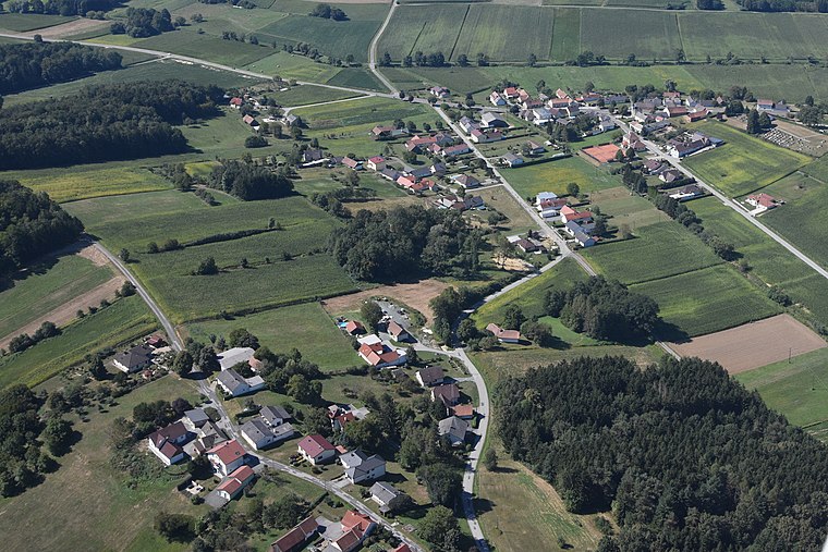
Photo: Iswoar, CC BY-SA 3.0.
Rehgraben is a village situated 4 km southwest of Kroatisch Tschantschendorf.
Kroatisch Tschantschendorf
- Type: Hamlet with 94 residents
- Description: locality and cadastral community in Güssing District
- Categories: cadastral municipality of Austria and locality
- Location: Tobaj, Güssing District, Burgenland, Austria, Central Europe, Europe
- View on OpenStreetMap
Latitude
47.09746° or 47° 5' 51" northLongitude
16.28631° or 16° 17' 11" eastPopulation
94Elevation
244 metres (801 feet)Open Location Code
8FVR37WP+XGOpenStreetMap ID
node 240033557OpenStreetMap Feature
place=hamletGeoNames ID
2773414Wikidata ID
Q1055344Kroatisch Tschantschendorf Satellite Map
© OpenStreetMap, Mapbox and Maxar
Also Known As
- Croatian: Hrvatska Čenča
- Esperanto: Kroatisch Tschantschendorf
- German: Kroatisch Tschantschendorf
- Hungarian: Horvátcsencs
- Irish: Kroatisch Tschantschendorf
Localities in the Area
- TudersdorfHamlet
- Deutsch TschantschendorfVillage
- SauerbergHamlet
- Fabianische HäuserHamlet
- TobajVillage
Landmarks in the Area
- Freiwillige Feuerwehr Kroatisch TschantschendorfFire station
- ESV Deutsch Tschantschendorf
- Freiwillige Feuerwehr TudersdorfFire station
- ASV Gemeinde Tobaj
- SFV Deutsch TschantschendorfFishing area
Popular Destinations in Burgenland
Discover Eisenstadt, Neusiedl am See, Rust and Güssing.
Escape to a Random Place
Discover other destinations in the world.
About Mapcarta. Thanks to Mapbox for providing amazing maps. Data © OpenStreetMap contributors and available under the Open Database License. Text is available under the CC BY-SA 4.0 license, excluding photos, directions and the map. Photo: Cerana, CC BY-SA 3.0.