Kotezicken
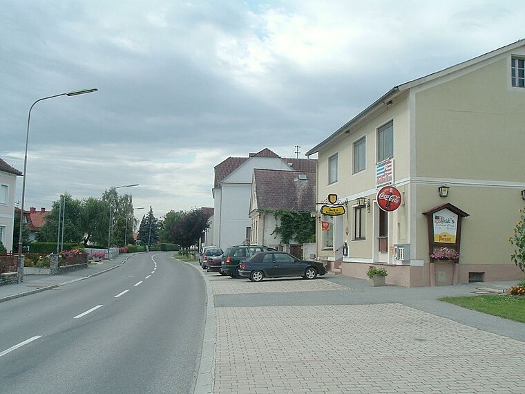
Kotezicken is a village in Mischendorf, Oberwart District, Burgenland and has about 274 residents. Kotezicken is situated nearby to the localities Greutwiesen and Perlmühle.Photo: Darinko, Public domain.
Notable Places in the Area
Kath. Filialkirche hl. Laurentius
Church

Photo: Ueb-at, CC BY-SA 3.0.
Kath. Filialkirche hl. Laurentius is a church.

Filialkirche Kleinzicken
Chapel

Photo: Stefan Fadinger, CC BY-SA 4.0.
Filialkirche Kleinzicken is a chapel.
Localities in the Area

Kleinbachselten
Village

Photo: Funke, CC BY-SA 4.0.
Kleinbachselten is a village situated 3 km west of Kotezicken.
Kotezicken
- Type: Village with 274 residents
- Description: locality and cadastral community in Oberwart District
- Categories: cadastral municipality of Austria and locality
- Location: Mischendorf, Oberwart District, Burgenland, Austria, Central Europe, Europe
- View on OpenStreetMap
Latitude
47.19312° or 47° 11' 35" northLongitude
16.34214° or 16° 20' 32" eastPopulation
274Elevation
259 metres (850 feet)Open Location Code
8FVR58VR+6VOpenStreetMap ID
node 34404596OpenStreetMap Feature
place=villageGeoNames ID
2773674Wikidata ID
Q782633Kotezicken Satellite Map
© OpenStreetMap, Mapbox and Maxar
Also Known As
- Esperanto: Kotezicken
- German: Kotezicken
- Hungarian: Sárosszék
- Irish: Kotezicken
- Japanese: コーテツィッケン
Localities in the Area
- GreutwiesenLocality
- PerlmühleLocality
- FeldhäuserHamlet
- MischendorfVillage
- KohfidischVillage
Landmarks in the Area
- Gemeinde- und FeuerwehrhausFire station
- Friedhof KotezickenCemetery
- Friedhof KleinzickenCemetery
- Feuerwehr KohfidischFire station
- ASKÖ KohfidischPitch
Popular Destinations in Burgenland
Discover Eisenstadt, Neusiedl am See, Rust and Güssing.
Escape to a Random Place
Discover other destinations in the world.
About Mapcarta. Thanks to Mapbox for providing amazing maps. Data © OpenStreetMap contributors and available under the Open Database License. Text is available under the CC BY-SA 4.0 license, excluding photos, directions and the map. Photo: Darinko, Public domain.