Kleinwarasdorf
Kleinwarasdorf is a village in Großwarasdorf, Oberpullendorf District, Burgenland and has about 544 residents. Kleinwarasdorf is situated nearby to the villages Nebersdorf and Kroatisch Minihof.Notable Places in the Area
Pfarrkirche hl. Anna, Kleinwarasdorf
Church
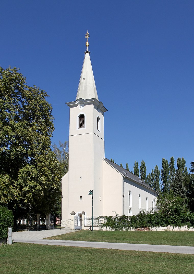
Photo: Bwag, CC BY-SA 3.0 at.
Pfarrkirche hl. Anna, Kleinwarasdorf is a church.
Familiensäule, Kleinwarasdorf
Wayside shrine
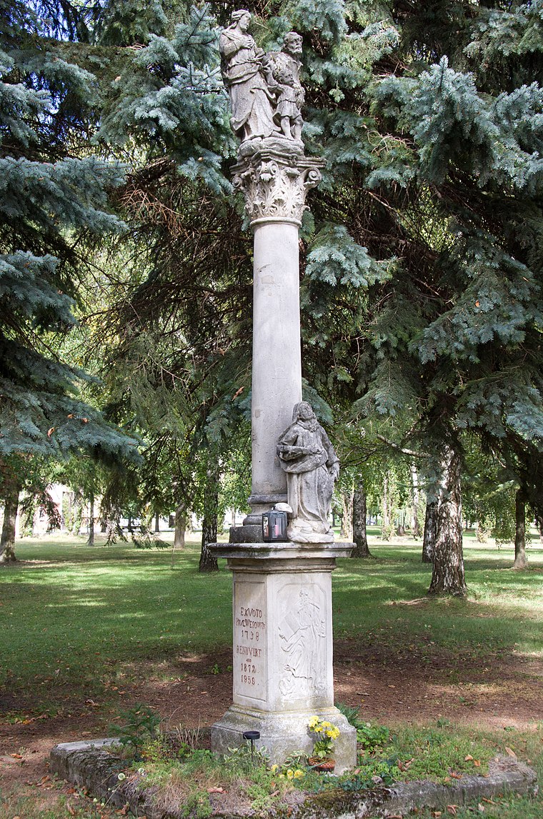
Photo: Hadinger, CC BY-SA 3.0 at.
Familiensäule, Kleinwarasdorf is a wayside shrine.
Mariensäule Kleinwarasdorf
Wayside shrine

Photo: Bwag, CC BY-SA 3.0 at.
Mariensäule Kleinwarasdorf is a wayside shrine.
Kleinwarasdorf
- Type: Village with 544 residents
- Category: locality
- Location: Großwarasdorf, Oberpullendorf District, Burgenland, Austria, Central Europe, Europe
- View on OpenStreetMap
Latitude
47.54121° or 47° 32' 28" northLongitude
16.58617° or 16° 35' 10" eastPopulation
544Elevation
267 metres (876 feet)Open Location Code
8FVRGHRP+FFOpenStreetMap ID
node 240111855OpenStreetMap Feature
place=villageGeoNames ID
2773983Kleinwarasdorf Satellite Map
© OpenStreetMap, Mapbox and Maxar
Also Known As
- Croatian: Mali Borištof
- German: Kleinwarasdorf
- Hungarian: Borisfalva
- Kleinwarasdorf/Mali Borištof
Localities in the Area
- NebersdorfVillage, 3½ km southwest
- Kroatisch MinihofVillage, 5 km east
- RaidingVillage, 5 km northwest
- LangentalVillage, 5 km southwest
- UnterpetersdorfVillage, 6 km north
Landmarks in the Area
- Friedhof KleinwarasdorfCemetery
- Florianikapelle KleinwarasdorfChapel
- Figurenbildstock hl. Michael, KleinwarasdorfWayside shrine
- Pfarrkirche GroßwarasdorfChurch
- Bronzestatue Mutter mit Kind, GroßwarasdorfWork of art
Popular Destinations in Burgenland
Discover Eisenstadt, Neusiedl am See, Rust and Güssing.
Escape to a Random Place
Discover other destinations in the world.
About Mapcarta. Thanks to Mapbox for providing amazing maps. Data © OpenStreetMap contributors and available under the Open Database License. Text is available under the CC BY-SA 4.0 license, excluding photos, directions and the map. Photo: Cerana, CC BY-SA 3.0.