Kleinmutschen
Kleinmutschen is a village in Frankenau-Unterpullendorf, Oberpullendorf District, Burgenland and has about 124 residents. Kleinmutschen is situated close to the villages Großmutschen/Mučindrof and Unterpullendorf.Notable Places in the Area

Filialkirche Großmutschen
Church
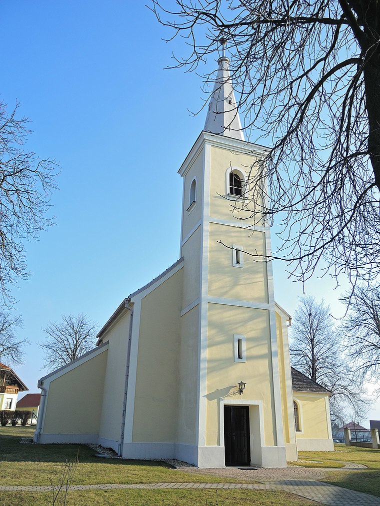
Photo: Robert Heilinger, CC BY-SA 3.0.
Filialkirche Großmutschen is a church.
Donatuskapelle, Unterpullendorf
Church

Photo: Hadinger, CC BY-SA 3.0 at.
Donatuskapelle, Unterpullendorf is a church.
Localities in the Area
Liebing
Village
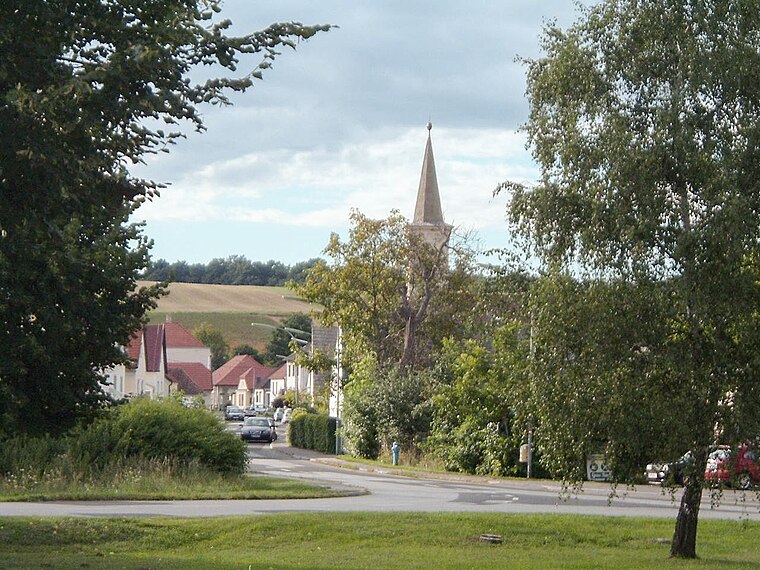
Photo: Wikimedia, Public domain.
Liebing is a village in the district of Oberpullendorf in Burgenland in Austria. Liebing is situated 8 km southwest of Kleinmutschen.

Kleinmutschen
- Type: Village with 124 residents
- Category: locality
- Location: Frankenau-Unterpullendorf, Oberpullendorf District, Burgenland, Austria, Central Europe, Europe
- View on OpenStreetMap
Latitude
47.46333° or 47° 27' 48" northLongitude
16.57226° or 16° 34' 20" eastPopulation
124Elevation
220 metres (722 feet)United Nations Location Code
AT BGNOpen Location Code
8FVRFH7C+8WOpenStreetMap ID
node 240087118OpenStreetMap Feature
place=villageGeoNames ID
2774075Kleinmutschen Satellite Map
© OpenStreetMap, Mapbox and Maxar
Also Known As
- Croatian: Pervane
- German: Kleinmutschen
- Hungarian: Pervány
- Kleinmutschen/Pervane
Localities in the Area
- Großmutschen/MučindrofVillage
- UnterpullendorfVillage, 2½ km northwest
- FrankenauVillage, 3 km southeast
- StrebersdorfVillage, 3½ km east
- UnterloisdorfVillage, 4 km southwest
Landmarks in the Area
- Friedhof KleinmutschenCemetery
- FußballplatzStadium
- Keltisches PingenfeldArchaeological site
- Friedhof GroßmutschenCemetery
- Steinigung des hl. Stephanus, GroßmutschenWayside shrine
Popular Destinations in Burgenland
Discover Eisenstadt, Neusiedl am See, Rust and Güssing.
Escape to a Random Place
Discover other destinations in the world.
About Mapcarta. Thanks to Mapbox for providing amazing maps. Data © OpenStreetMap contributors and available under the Open Database License. Text is available under the CC BY-SA 4.0 license, excluding photos, directions and the map. Photo: Cerana, CC BY-SA 3.0.