Heiligen Gestade
Heiligen Gestade is a locality in Wernberg, Villach-Land District, Carinthia and has an elevation of 836 metres. Heiligen Gestade is situated close to the villages Ragain and Umberg.Notable Places in the Area
Aichelberg Castle
Castle

Photo: Johann Jaritz, CC BY-SA 4.0.
Aichelberg Castle is a castle in Carinthia, Austria.
Lake Ossiach
Lake

Photo: Wikimedia, CC BY-SA 3.0.
Lake Ossiach is a lake in the Austrian state of Carinthia. Lake Ossiach is situated 2½ km north of Heiligen Gestade.
Burgruine Hohenwart
Castle
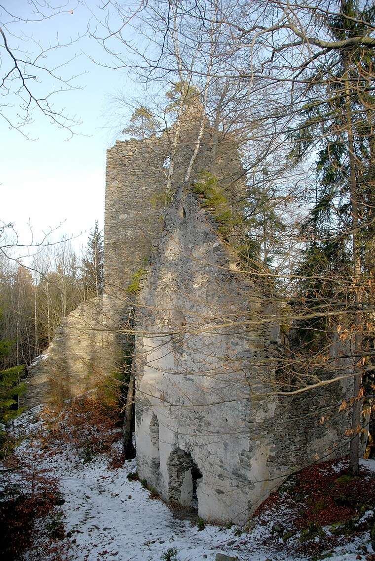
Photo: Johann Jaritz, CC BY-SA 4.0.
Burgruine Hohenwart is a ruined castle south of the village of Köstenberg in Carinthia, Austria. Burgruine Hohenwart is situated 3½ km east of Heiligen Gestade.
Localities in the Area
Ossiach
Village
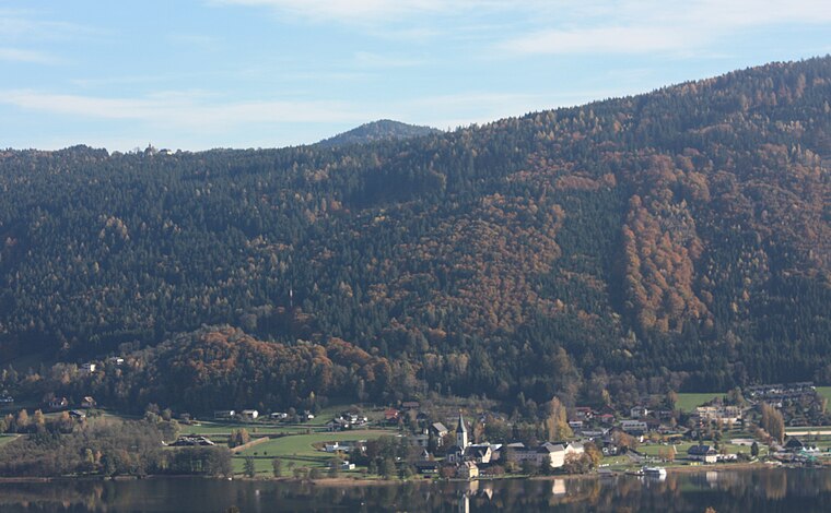
Photo: Mefusbren69, Public domain.
Ossiach is a municipality in the Feldkirchen District in the Austrian state of Carinthia. Ossiach is situated 4 km northeast of Heiligen Gestade.
Landskron
Suburb

Photo: Bwag, CC BY-SA 4.0.
Landskron is a suburb situated 5 km west of Heiligen Gestade.
Steindorf am Ossiacher See
Village

Photo: Kliek, CC BY-SA 4.0.
Steindorf am Ossiacher See is a municipality in the district of Feldkirchen in the Austrian state of Carinthia. Steindorf am Ossiacher See is situated 7 km northeast of Heiligen Gestade.
Heiligen Gestade
- Type: Locality
- Location: Wernberg, Villach-Land District, Carinthia, Austria, Central Europe, Europe
- View on OpenStreetMap
Latitude
46.65° or 46° 39' northLongitude
13.95° or 13° 57' eastElevation
836 metres (2,743 feet)Open Location Code
8FRMMW2X+2XGeoNames ID
2776589Heiligen Gestade Satellite Map
© OpenStreetMap, Mapbox and Maxar
Also Known As
- Heiligengstad
- Heiligenstad
- Heiliges Gestade
Other Places Named Heiligen Gestade
Localities in the Area
- HeiligengestadeVillage
- RagainVillage
- UmbergVillage
- TrabenigHamlet
- StallhofenVillage
Landmarks in the Area
- Schloss WernbergBuilding, 3½ km southwest
- Ruine HohenwartRuin, 3½ km southeast
- Talstation KanzelbahnBus station, 4 km west
- Ossiach AbbeyMonastery, 4 km northeast
- cemetery GottestalCemetery, 4 km south
Popular Destinations in Carinthia
Discover Klagenfurt, Villach, Wörthersee and Spittal an der Drau.
Escape to a Random Place
Discover other destinations in the world.
About Mapcarta. Thanks to Mapbox for providing amazing maps. Text is available under the CC BY-SA 4.0 license, excluding photos, directions and the map. Photo: Wikimedia, CC BY-SA 3.0.