Gummern
Gummern is a residential area in Weißenstein, Villach-Land District, Carinthia and has about 79 residents. Gummern is situated nearby to the peak Wollanigberg and the village Äußere Einöde.Notable Places in the Area
Protestant Church
Church
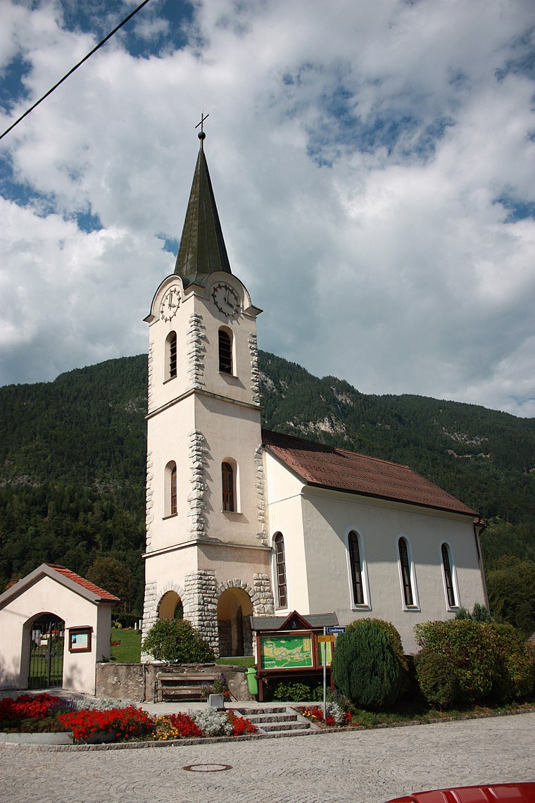
Photo: Mefusbren69, Public domain.
Protestant Church is situated 1½ km northwest of Gummern.
Naturschwimmbad Puch
Recreation area

Photo: Naturpuur, CC BY-SA 4.0.
Naturschwimmbad Puch is a recreation area situated 1½ km northwest of Gummern.
Wollanigberg
Peak

Photo: Mefusbren69, Public domain.
Wollanigberg is a peak situated 3 km east of Gummern.
Localities in the Area
Äußere Einöde
Village

Photo: Naturpuur, CC BY-SA 4.0.
Äußere Einöde is a village situated 6 km northeast of Gummern.
Treffen
Village

Photo: Johann Jaritz, CC BY-SA 4.0.
Treffen is a market town in the district of Villach-Land in Carinthia in south-central Austria. Treffen is situated 6 km east of Gummern.

Gummern
- Type: Residential area
- Location: Weißenstein, Villach-Land District, Carinthia, Austria, Central Europe, Europe
- View on OpenStreetMap
Latitude
46.65239° or 46° 39' 9" northLongitude
13.77678° or 13° 46' 36" eastPopulation
79Elevation
643 metres (2,110 feet)United Nations Location Code
AT GMMOpen Location Code
8FRMMQ2G+XPOpenStreetMap ID
way 30350033OpenStreetMap Feature
landuse=residentialGeoNames ID
2777287Gummern Satellite Map
© OpenStreetMap, Mapbox and Maxar
Other Places Named Gummern
Localities in the Area
- WeißenbachHamlet
- GummernHamlet
- PuchVillage
- TöplitschVillage
- Mittewald ob VillachHamlet
Places in the Area
- Weißenbach bei VillachBus stop, 440 metres southeast
- PV-Anlage Omya GummernElectric generator, 610 metres east
Popular Destinations in Carinthia
Discover Klagenfurt, Villach, Wörthersee and Spittal an der Drau.
Escape to a Random Place
Discover other destinations in the world.
About Mapcarta. Thanks to Mapbox for providing amazing maps. Data © OpenStreetMap contributors and available under the Open Database License. Text is available under the CC BY-SA 4.0 license, excluding photos, directions and the map. Photo: Wikimedia, CC BY-SA 3.0.