Große Plischa
Große Plischa is a peak in Weiden bei Rechnitz, Oberwart District, Burgenland and has an elevation of 661 metres. Große Plischa is situated close to the village Oberpodgoria and the hamlet Parapatitschberg.Notable Places in the Area
Großer Hirschenstein
Scenic viewpoint

Photo: Pan Peter12, CC BY-SA 4.0.
Großer Hirschenstein is a scenic viewpoint.
Filialkirche Zur Kreuzauffindung, Althodis
Church

Photo: Steindy, CC BY-SA 3.0.
Filialkirche Zur Kreuzauffindung, Althodis is a church.

Localities in the Area


Glashütten bei Schlaining
Village
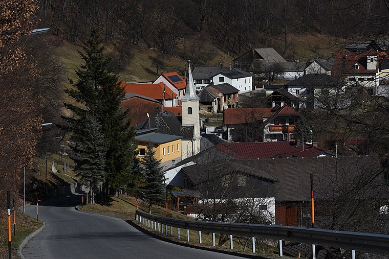
Photo: Nxr-at, CC BY-SA 4.0.
Glashütten bei Schlaining is an Austrian dependent hamlet in the federal state of Burgenland.
Große Plischa
- Type: Peak with an elevation of 661 metres
- Description: mountain in Burgenland, Austria
- Categories: mountain and landform
- Location: Weiden bei Rechnitz, Oberwart District, Burgenland, Austria, Central Europe, Europe
- View on OpenStreetMap
Latitude
47.33123° or 47° 19' 52" northLongitude
16.35534° or 16° 21' 19" eastElevation
661 metres (2,169 feet)Open Location Code
8FVR89J4+F4OpenStreetMap ID
node 3018964413OpenStreetMap Feature
natural=peakGeoNames ID
2777833Wikidata ID
Q21871264Große Plischa Satellite Map
© OpenStreetMap, Mapbox and Maxar
Also Known As
- Cebuano: Grosse Plischa
- Cebuano: Große Plischa
- Dutch: Große Plischa
- English: Grosse Plischa
- German: Große Plischa
- Swedish: Große Plischa
Localities in the Area
- ParapatitschbergHamlet
- UnterpodgoriaHamlet
- AlthodisVillage
- RumpersdorfVillage
- Weiden bei RechnitzVillage
Landmarks in the Area
- BrotriegelPeak
- Kirche PodgoriaChurch
- FeuerwehrhausFire station
- NaturparkschuleTourism office
- Baumwipfelweg AlthodisScenic viewpoint
Popular Destinations in Burgenland
Discover Eisenstadt, Neusiedl am See, Rust and Güssing.
Escape to a Random Place
Discover other destinations in the world.
About Mapcarta. Thanks to Mapbox for providing amazing maps. Data © OpenStreetMap contributors and available under the Open Database License. Text is available under the CC BY-SA 4.0 license, excluding photos, directions and the map. Photo: Cerana, CC BY-SA 3.0.