Dürnbach im Burgenland
Dürnbach im Burgenland is a village in Schachendorf, Oberwart District, Burgenland and has about 324 residents. Dürnbach im Burgenland is situated close to the villages Schachendorf and Zuberbach.Photo: Wikimedia, Public domain.
Notable Places in the Area
Wegkapelle hl. Florian, Dürnbach
Wayside shrine
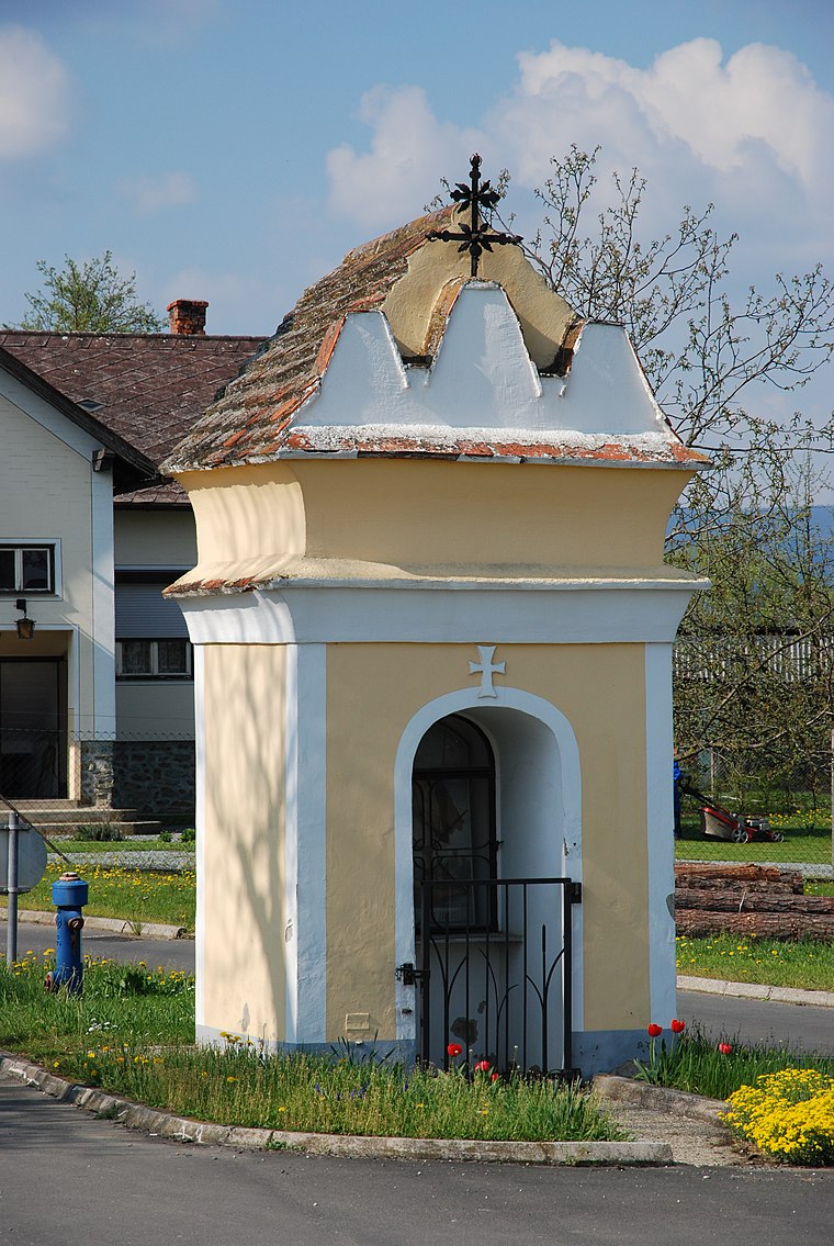
Photo: Ueb-at, CC BY-SA 3.0.
Wegkapelle hl. Florian, Dürnbach is a wayside shrine.
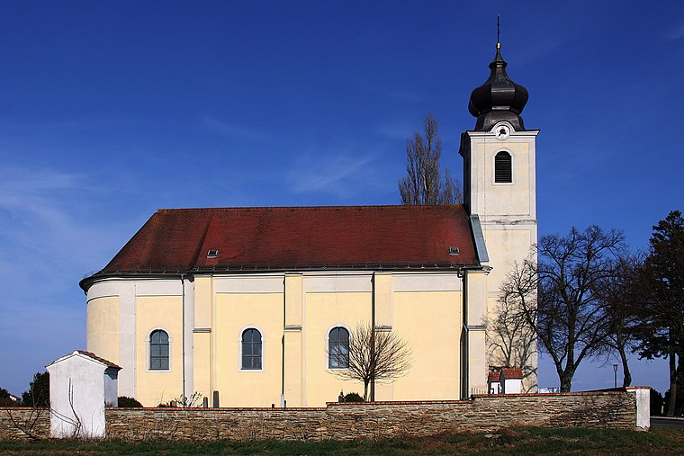
Pfarrkirche hl. Anna, Schandorf
Church

Photo: Steindy, CC BY-SA 4.0.
Pfarrkirche hl. Anna, Schandorf is a church situated 3½ km southeast of Dürnbach im Burgenland.
Localities in the Area
Welgersdorf
Village

Photo: Maximilian.schodisch, CC BY-SA 4.0.
Welgersdorf is a village situated 4½ km southwest of Dürnbach im Burgenland.
Podler
Hamlet
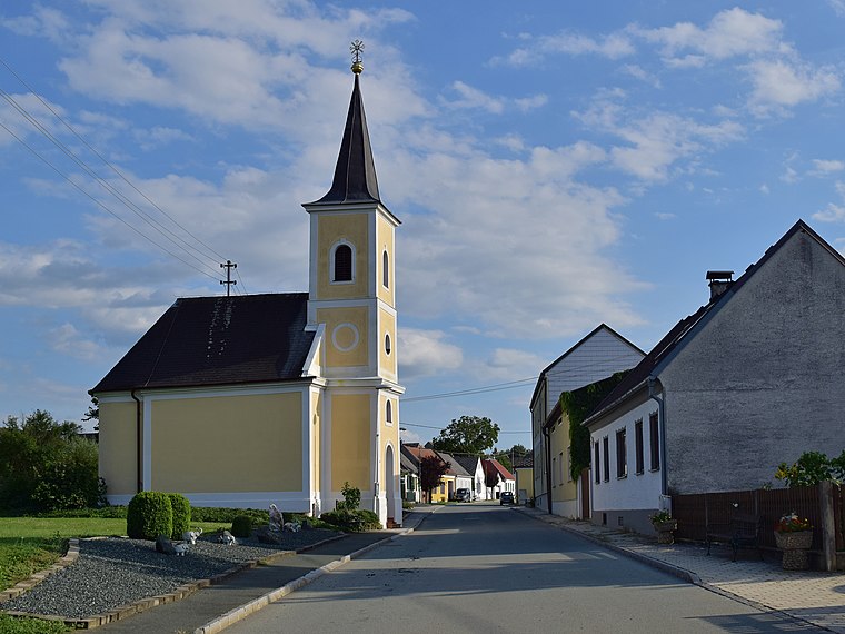
Photo: Haeferl, CC BY-SA 4.0.
Podler is a hamlet situated 5 km west of Dürnbach im Burgenland.
Miedlingsdorf
Village
Miedlingsdorf is an Austrian village in the district of Oberwart in the state of Burgenland. Miedlingsdorf is situated 5 km west of Dürnbach im Burgenland.
Dürnbach im Burgenland
- Type: Village with 324 residents
- Description: locality and cadastral community in Oberwart District
- Categories: cadastral municipality of Austria and locality
- Location: Schachendorf, Oberwart District, Burgenland, Austria, Central Europe, Europe
- View on OpenStreetMap
Latitude
47.26466° or 47° 15' 53" northLongitude
16.39167° or 16° 23' 30" eastPopulation
324Elevation
286 metres (938 feet)Open Location Code
8FVR797R+VMOpenStreetMap ID
node 240053112OpenStreetMap Feature
place=villageGeoNames ID
2780623Wikidata ID
Q1096857Dürnbach im Burgenland Satellite Map
© OpenStreetMap, Mapbox and Maxar
Also Known As
- English: Dürnbach
- English: Vincjet
- Esperanto: Dürnbach
- Esperanto: Dürnbach im Burgenland
- Esperanto: Vincjet
- German: Dürnbach
- German: Dürnbach im Burgenland
- Hungarian: Incéd
- Irish: Dürnbach im Burgenland
- Duernbach im Burgenland
- Dürnbach bei Grosspetersdorf
- Dürnbach im Burgenland/Vincjet
Localities in the Area
- SchachendorfVillage, 3 km east
- ZuberbachVillage, 3 km northwest
- SchandorfVillage, 3½ km southeast
- Markt NeuhodisVillage, 3½ km north
- HannersdorfVillage, 4 km south
Landmarks in the Area
- KleindickichtForest
- SuttenwaldForest, 2½ km south
- Zuberbach MortuaryBuilding, 3 km northwest
- Zuberbach CemeteryCemetery, 3 km northwest
- FußballPitch, 3 km east
Popular Destinations in Burgenland
Discover Eisenstadt, Neusiedl am See, Rust and Güssing.
Escape to a Random Place
Discover other destinations in the world.
About Mapcarta. Thanks to Mapbox for providing amazing maps. Data © OpenStreetMap contributors and available under the Open Database License. Text is available under the CC BY-SA 4.0 license, excluding photos, directions and the map. Photo: Wikimedia, Public domain.