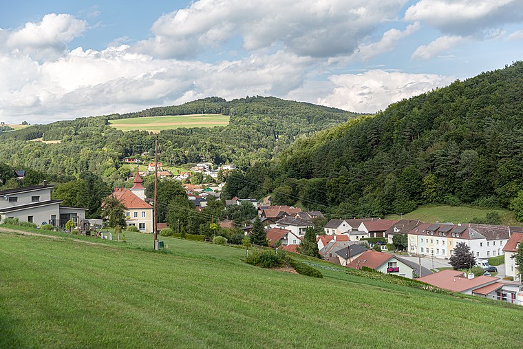
Dreihütten
Dreihütten is a village in Bernstein im Burgenland, Oberwart District, Burgenland and has about 120 residents. Dreihütten is situated nearby to the hamlet Maltern and the village Rettenbach.Photo: Tsui, CC BY-SA 4.0.
Notable Places in the Area
Catholic parish church of Bernstein
Church

Photo: Bwag, CC BY-SA 4.0.
Catholic parish church of Bernstein is situated 3 km southeast of Dreihütten.
Evangelische Pfarrkirche Bernstein im Burgenland
Church
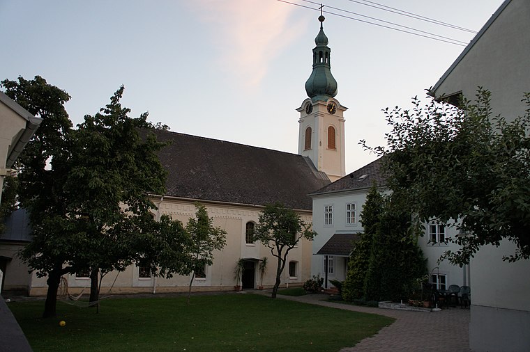
Photo: Ufoao, CC BY-SA 3.0 at.
Evangelische Pfarrkirche Bernstein im Burgenland is a church situated 3½ km southeast of Dreihütten.
Localities in the Area


Dreihütten
- Type: Village with 120 residents
- Description: locality and cadastral municipality in Bernstein, Austria
- Categories: cadastral municipality of Austria and locality
- Location: Bernstein im Burgenland, Oberwart District, Burgenland, Austria, Central Europe, Europe
- View on OpenStreetMap
Latitude
47.42065° or 47° 25' 14" northLongitude
16.22016° or 16° 13' 13" eastPopulation
120Elevation
646 metres (2,119 feet)Open Location Code
8FVRC6CC+73OpenStreetMap ID
node 240078453OpenStreetMap Feature
place=villageGeoNames ID
2780692Wikidata ID
Q877780Dreihütten Satellite Map
© OpenStreetMap, Mapbox and Maxar
Also Known As
- Esperanto: Dreihütten
- German: Dreihütten
- Hungarian: Háromsátor
- Irish: Dreihütten
- Japanese: ドライヒュッテン
- Dreihuetten
Other Places Named Dreihütten
Localities in the Area
- MalternHamlet
- RettenbachVillage
- KirchschlaglHamlet
- ZüggenHamlet, 2½ km north
- ZüggenhöhHamlet, 3 km northeast
Landmarks in the Area
- Evang. Tochtergemeinde A.B.Church
- FF DreihüttenFire station
- Friedhof DreihüttenCemetery
- Freiwillige Feuerwehr MalternFire station
- Hl. MauritiusChurch
Popular Destinations in Burgenland
Discover Eisenstadt, Neusiedl am See, Rust and Güssing.
Escape to a Random Place
Discover other destinations in the world.
About Mapcarta. Thanks to Mapbox for providing amazing maps. Data © OpenStreetMap contributors and available under the Open Database License. Text is available under the CC BY-SA 4.0 license, excluding photos, directions and the map. Photo: Tsui, CC BY-SA 4.0.