Bischoffeld
Bischoffeld is a village in Gaal, Murtal District, Styria and has about 209 residents and an elevation of 861 metres. Bischoffeld is situated nearby to the hamlets Vorwitz and Schattenberg.Notable Places in the Area

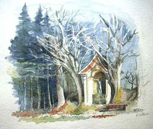
Johannes Nepomuk-Kapelle
Church
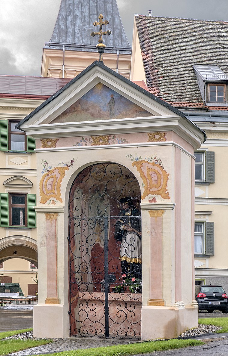
Photo: Thomas Ledl, CC BY-SA 3.0 at.
Johannes Nepomuk-Kapelle is a church.
Localities in the Area
Spielberg

Photo: TheRunnerUp, CC BY-SA 4.0.
Spielberg is a municipality in the Murtal district in the Austrian state of Styria.
Bischoffeld
- Type: Village with 209 residents
- Category: locality
- Location: Gaal, Murtal District, Styria, Austria, Central Europe, Europe
- View on OpenStreetMap
Latitude
47.27123° or 47° 16' 16" northLongitude
14.70608° or 14° 42' 22" eastPopulation
209Elevation
861 metres (2,825 feet)Open Location Code
8FVP7PC4+FCOpenStreetMap ID
node 240045875OpenStreetMap Feature
place=villageGeoNames ID
2781737Bischoffeld Satellite Map
© OpenStreetMap, Mapbox and Maxar
Other Places Named Bischoffeld
Localities in the Area
- VorwitzHamlet
- SchattenbergHamlet
- Ingering IIHamlet
- GradenHamlet
- GaalVillage, 3 km west
Landmarks in the Area
- Postpartner 8731, SPAR GruberPost office
- VW-Käfermuseum GaalMuseum
- PirkachkapelleWayside shrine
- Mariä HimmelfahrtChurch
- Unterwirtkreuz GaalChurch, 2½ km west
Popular Destinations in Styria
Discover Graz, Leoben, Bruck an der Mur and Kapfenberg.
Escape to a Random Place
Discover other destinations in the world.
About Mapcarta. Thanks to Mapbox for providing amazing maps. Data © OpenStreetMap contributors and available under the Open Database License. Text is available under the CC BY-SA 4.0 license, excluding photos, directions and the map. Photo: Kmarka, CC BY-SA 3.0.