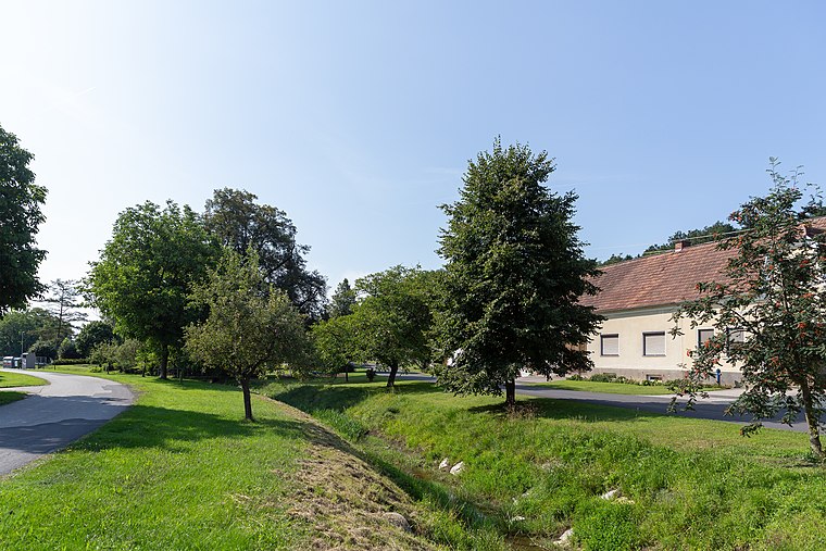
Altschlaining
Altschlaining is a village in Stadtschlaining, Oberwart District, Burgenland and has about 266 residents. Altschlaining is situated nearby to the village Stadtschlaining and the hamlet Gieberling.Photo: Wikimedia, Public domain.
Notable Places in the Area
Stadtbrunnen Stadtschlaining
Fountain

Photo: Anton-kurt, CC BY-SA 3.0 at.
Stadtbrunnen Stadtschlaining is a fountain.


Localities in the Area
Rauhriegel
Hamlet

Photo: Wikimedia, Public domain.
Rauhriegel, Hungarian: Füsthegy; Croatian: Roriglyin; is a small village and cadastral community located within the municipality of Weiden bei Rechnitz in Oberwart district, which is located in the Austrian state of Burgenland.

Altschlaining
- Type: Village with 266 residents
- Description: locality and cadastral community in Oberwart District
- Categories: locality and cadastral municipality of Austria
- Location: Stadtschlaining, Oberwart District, Burgenland, Austria, Central Europe, Europe
- View on OpenStreetMap
Latitude
47.31593° or 47° 18' 57" northLongitude
16.28527° or 16° 17' 7" eastPopulation
266Elevation
343 metres (1,125 feet)Open Location Code
8FVR878P+94OpenStreetMap ID
node 36322960OpenStreetMap Feature
place=villageGeoNames ID
2782620Wikidata ID
Q267523Altschlaining Satellite Map
© OpenStreetMap, Mapbox and Maxar
Also Known As
- Esperanto: Altschlaining
- German: Altschlaining
- Hungarian: Ószalónak
- Irish: Altschlaining
- Japanese: アルトシュライニング
Localities in the Area
- StadtschlainingVillage
- GieberlingHamlet
- SchönauHamlet
- MönchmeierhofHamlet
- Neumarkt im TauchentalVillage
Landmarks in the Area
- Feuerwehrhaus AltschlainingFire station
- ASKÖ SchlainingPitch
- BurgarenaTheater building
- Tennisclub SchlainingPitch
- RochusplatzSquare
Popular Destinations in Burgenland
Discover Eisenstadt, Neusiedl am See, Rust and Güssing.
Escape to a Random Place
Discover other destinations in the world.
About Mapcarta. Thanks to Mapbox for providing amazing maps. Data © OpenStreetMap contributors and available under the Open Database License. Text is available under the CC BY-SA 4.0 license, excluding photos, directions and the map. Photo: Wikimedia, Public domain.