Althodis
Althodis is a village in Markt Neuhodis, Oberwart District, Burgenland and has about 135 residents. Althodis is situated close to the hamlets Parapatitschberg and Unterpodgoria.Notable Places in the Area
Filialkirche Zur Kreuzauffindung, Althodis
Church

Photo: Steindy, CC BY-SA 3.0.
Filialkirche Zur Kreuzauffindung, Althodis is a church.
Großer Hirschenstein
Scenic viewpoint

Photo: Pan Peter12, CC BY-SA 4.0.
Großer Hirschenstein is a scenic viewpoint situated 3½ km north of Althodis.
Saint John of Nepomuk Church
Church

Photo: Steindy, CC BY-SA 3.0.
Saint John of Nepomuk Church is situated 2½ km southwest of Althodis.
Localities in the Area

Allersgraben
Hamlet

Photo: Wikimedia, Public domain.
Allersgraben is a hamlet situated 4½ km west of Althodis.
Rechnitz
Village
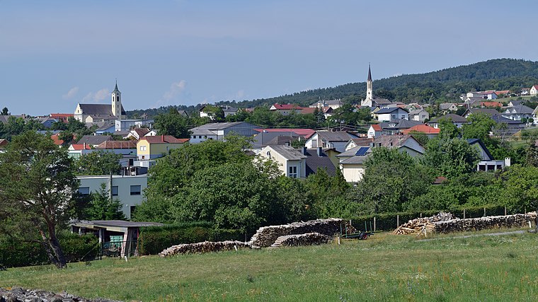
Photo: Haeferl, CC BY-SA 4.0.
Rechnitz is a municipality in Burgenland in the Oberwart district in Austria. Rechnitz is situated 5 km east of Althodis.
Althodis
- Type: Village with 135 residents
- Description: locality and cadastral community in Oberwart District
- Categories: cadastral municipality of Austria and locality
- Location: Markt Neuhodis, Oberwart District, Burgenland, Austria, Central Europe, Europe
- View on OpenStreetMap
Latitude
47.31516° or 47° 18' 55" northLongitude
16.37595° or 16° 22' 33" eastPopulation
135Elevation
424 metres (1,391 feet)Open Location Code
8FVR898G+39OpenStreetMap ID
node 240079476OpenStreetMap Feature
place=villageGeoNames ID
2782647Wikidata ID
Q1471651Althodis Satellite Map
© OpenStreetMap, Mapbox and Maxar
Also Known As
- Croatian: Stari Hodas
- Esperanto: Althodis
- German: Althodis
- Hungarian: Óhodász
- Irish: Althodis
- Althodis/Stari Hodas
Localities in the Area
- ParapatitschbergHamlet
- UnterpodgoriaHamlet
- Markt NeuhodisVillage, 2½ km southeast
- Weiden bei RechnitzVillage, 2½ km southwest
- NußgrabenLocality, 3½ km northeast
Landmarks in the Area
- WeinbergPeak
- Baumwipfelweg AlthodisScenic viewpoint
- NaturparkschuleTourism office
- Kapelle UnterpodgoriaChurch
- MithrasgrotteCave
Popular Destinations in Burgenland
Discover Eisenstadt, Neusiedl am See, Rust and Güssing.
Escape to a Random Place
Discover other destinations in the world.
About Mapcarta. Thanks to Mapbox for providing amazing maps. Data © OpenStreetMap contributors and available under the Open Database License. Text is available under the CC BY-SA 4.0 license, excluding photos, directions and the map. Photo: Cerana, CC BY-SA 3.0.