Kühwegboden
Kühwegboden is a bus stop in Hermagor-Pressegger See, Hermagor District, Carinthia. Kühwegboden is situated close to Castle Priessenegg and the fire station FF Kühweg.Notable Places in the Area
Castle Priessenegg
Castle

Photo: Naturpuur, CC BY-SA 4.0.
Castle Priessenegg is situated 540 metres northwest of Kühwegboden.
Bahnhof Hermagor
Railway station

Photo: Bahnfan44789, CC BY-SA 4.0.
Bahnhof Hermagor is a railway station situated 1 km northeast of Kühwegboden.
Pfarrkirche Hermagor
Church
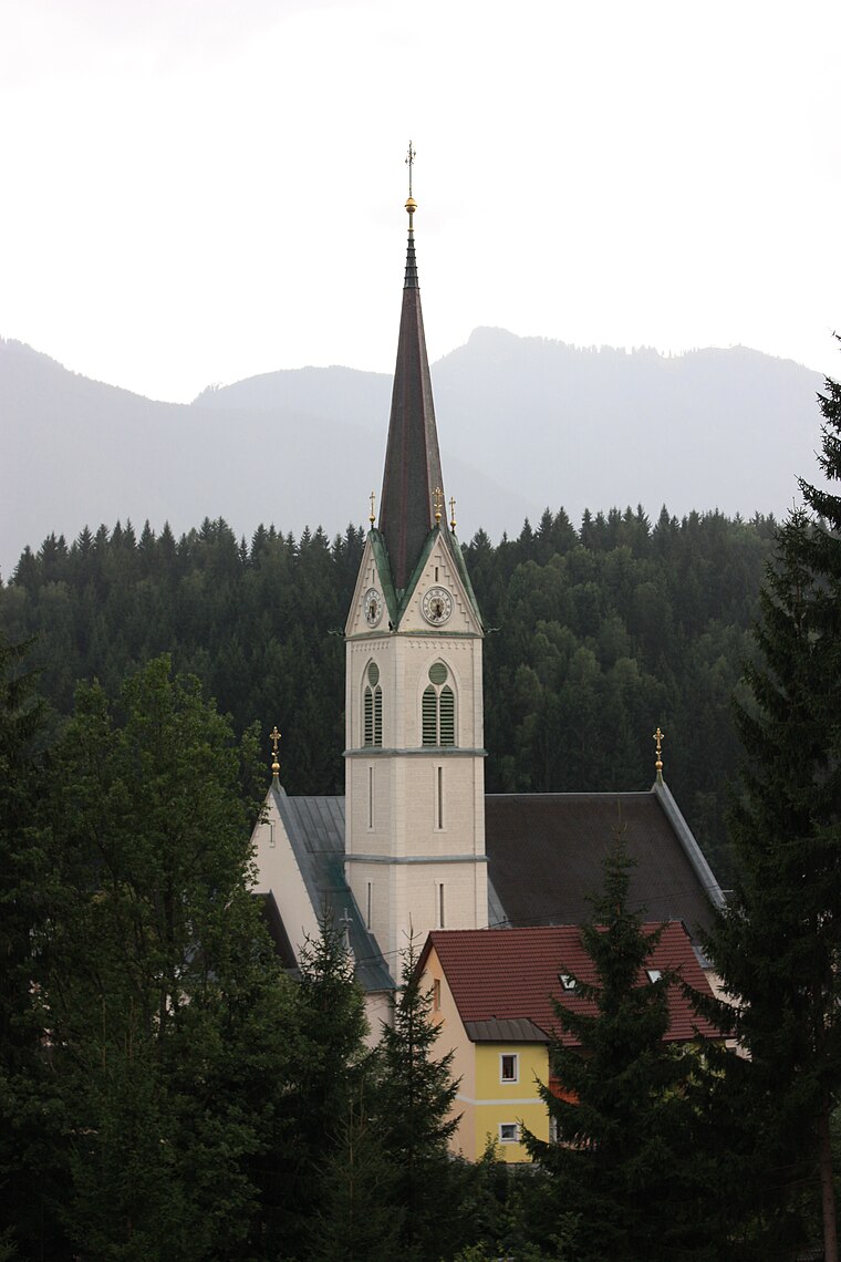
Photo: Mefusbren69, Public domain.
Pfarrkirche Hermagor is a church situated 1 km north of Kühwegboden.
Localities in the Area
Watschig
Village

Photo: Johann Jaritz, CC BY-SA 4.0.
Watschig is a village situated 5 km west of Kühwegboden.
Tröpolach
Village

Photo: Pnapora, CC BY-SA 4.0.
Tröpolach is a village situated 7 km west of Kühwegboden.
Görtschach
Village

Photo: Johann Jaritz, CC BY-SA 4.0.
Görtschach is a village situated 8 km east of Kühwegboden.
Kühwegboden
- Type: Bus stop
- Category: transportation
- Location: Hermagor-Pressegger See, Hermagor District, Carinthia, Austria, Central Europe, Europe
- View on OpenStreetMap
Latitude
46.62039° or 46° 37' 13" northLongitude
13.36933° or 13° 22' 10" eastOpen Location Code
8FRMJ9C9+5POpenStreetMap ID
node 2495199652OpenStreetMap Feature
highway=bus_stopKühwegboden Satellite Map
© OpenStreetMap, Mapbox and Maxar
Other Places Named Kühwegboden
Landmarks in the Area
- FF KühwegFire station, 570 metres west
- FF HermagorFire station, 610 metres north
- Polizeiinspektion HermagorPolice station, 650 metres north
- Bezirkspolizeikommando HermagorPolice station, 650 metres north
- Bezirksgericht HermagorCourthouse, 660 metres north
Places in the Area
- Bauhof Stadt Hermagor
- Hermagor KühwegbodenBus stop, 130 metres north
- Wohnpark WurzerBuilding, 220 metres southwest
- Wurzer DirndlClothing store, 260 metres southwest
- AufbahrungshalleBuilding, 280 metres northeast
Popular Destinations in Carinthia
Discover Klagenfurt, Villach, Wörthersee and Spittal an der Drau.
Escape to a Random Place
Discover other bus stops in the world.
About Mapcarta. Thanks to Mapbox for providing amazing maps. Data © OpenStreetMap contributors and available under the Open Database License. Text is available under the CC BY-SA 4.0 license, excluding photos, directions and the map. Photo: Wikimedia, CC BY-SA 3.0.