Pfarrkirche hl. Anna, Schandorf
Pfarrkirche hl. Anna, Schandorf is a church in Schandorf, Oberwart District, Burgenland. Pfarrkirche hl. Anna, Schandorf is situated nearby to the town hall Gemeindeamt Schandorf / Općinski ured Čemba and the community center Vereinshaus / Društveni stan.Photo: Steindy, CC BY-SA 4.0.
- Type: Church
- Denomination: Roman Catholic
- Description: church building in Schandorf, Austria
Notable Places in the Area
Hügelgräberfeld Bauernwald IV
Archaeological site

Photo: Steindy, CC BY-SA 4.0.
Hügelgräberfeld Bauernwald IV is an archaeological site situated 2 km south of Pfarrkirche hl. Anna, Schandorf.
Hügelgräberfeld Bauernwald III
Archaeological site
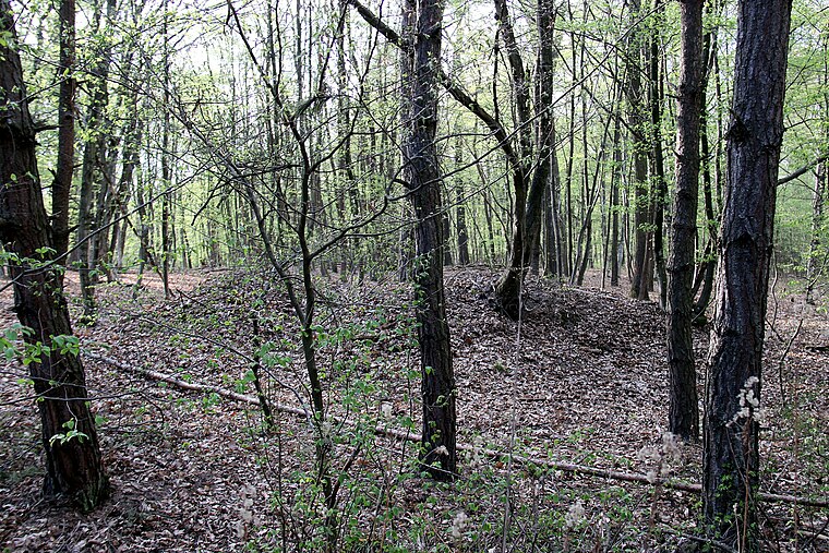
Photo: Steindy, CC BY-SA 4.0.
Hügelgräberfeld Bauernwald III is an archaeological site situated 2½ km south of Pfarrkirche hl. Anna, Schandorf.
Hügelgräberfeld Bauernwald II
Archaeological site
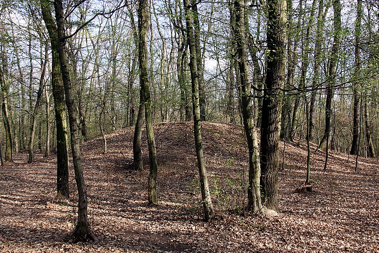
Photo: Steindy, CC BY-SA 4.0.
Hügelgräberfeld Bauernwald II is an archaeological site situated 2½ km south of Pfarrkirche hl. Anna, Schandorf.
Localities in the Area
Burg
Village

Photo: Darinko, Public domain.
Burg is a village situated 3 km southwest of Pfarrkirche hl. Anna, Schandorf.
Dürnbach im Burgenland
Village
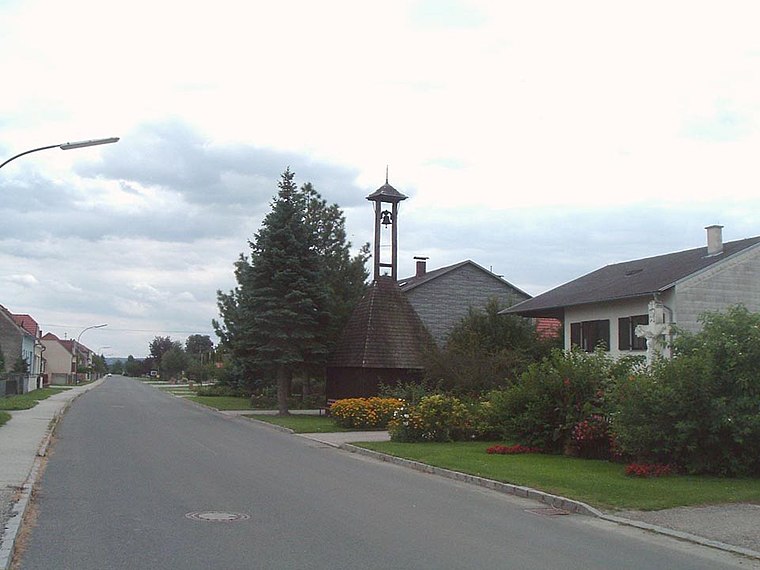
Photo: Wikimedia, Public domain.
Dürnbach im Burgenland is a village situated 3½ km northwest of Pfarrkirche hl. Anna, Schandorf.
Woppendorf
Village
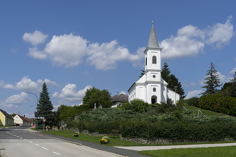
Photo: Stefan Fadinger, CC BY-SA 4.0.
Woppendorf is a village situated 4½ km southwest of Pfarrkirche hl. Anna, Schandorf.
Pfarrkirche hl. Anna, Schandorf
- Categories: building, place of worship and religion
- Location: Schandorf, Oberwart District, Burgenland, Austria, Central Europe, Europe
- View on OpenStreetMap
Latitude
47.24054° or 47° 14' 26" northLongitude
16.42232° or 16° 25' 20" eastNamed after
Saint AnneOpen Location Code
8FVR6CRC+6WOpenStreetMap ID
way 126050843OpenStreetMap Feature
amenity=place_of_worshipOpenStreetMap Feature
building=churchOpenStreetMap Attribute
denomination=roman_catholicWikidata ID
Q20754115Pfarrkirche hl. Anna, Schandorf Satellite Map
© OpenStreetMap, Mapbox and Maxar
Also Known As
- German: Kath. Pfarrkirche hl. Anna
- German: Pfarrkirche Schandorf
- Hl. Anna
- Pfarrkirche
Landmarks in the Area
- Gemeindeamt Schandorf / Općinski ured ČembaTown hall
- Vereinshaus / Društveni stanCommunity center
- Fájdalmas Szűz Anya-templomChurch, 2 km east
- FußballPitch, 2½ km north
- TennisPitch, 2½ km north
Places in the Area
- GnadenstuhlWork of art
- Schandorf B56Bus stop, 390 metres north
- TotenhalleBuilding, 610 metres north
- Béke Tava2 km east
Popular Destinations in Burgenland
Discover Eisenstadt, Neusiedl am See, Rust and Güssing.
Escape to a Random Place
Discover other churches in the world.
About Mapcarta. Thanks to Mapbox for providing amazing maps. Data © OpenStreetMap contributors and available under the Open Database License. Text is available under the CC BY-SA 4.0 license, excluding photos, directions and the map. Photo: Steindy, CC BY-SA 4.0.