Nature/Mountains Möllbrücke / Lurnfeld
Hotels
Stays
Turist information
History
The Lurnfeld valley is a very old settlement area that in the days of the Roman Empire was called vallis Lurna. In a 891 deed it was mentioned as Liburnia, the main village Möllbrücke as mölnprukke in 1253. Nowadays Lurnfeld consists of the Katastralgemeinden Möllbrücke und Pusarnitz.
Location and climate
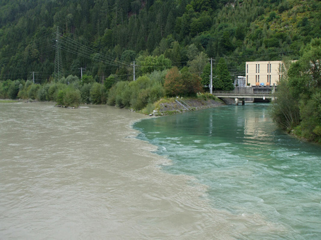
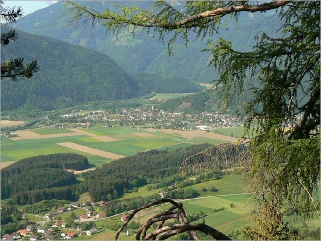
Where the upper Drautal meets the Mölltal and opens into a broad plateau stands the market town of Lurnfeld. The Drau Valley is influenced by the Mediterranean climate. Carinthia is one of the most favoured climatic zones in Austria with a "stimulating" climate in the wintertime and a "relaxing" climate in the summertime.
Tourist attractions
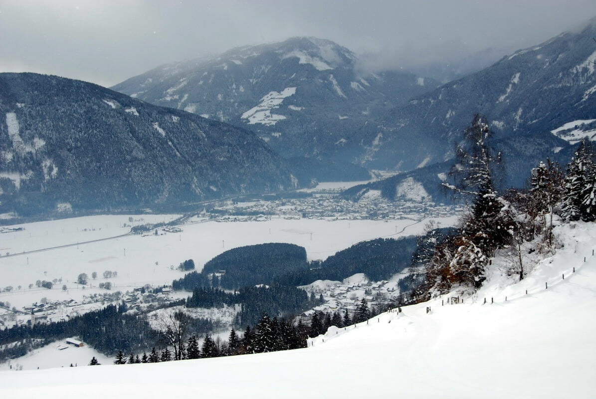
Skiers can head for the nearby ski slopes at Mallnitz/Ankogel, Heiligenblut and the Mölltal Glacier. Surrounded by lush meadows, green forests and gigantic mountains, it is considered a hiking, cycling and mountain biking paradise. Hundreds of kilometres of marked hiking tails, cycling on the Drava Cycle Path or the Großglockner-Mölltal Cycle Path and mountain biking on 120 km of signed routes of all degree of difficulty.
Surroundings
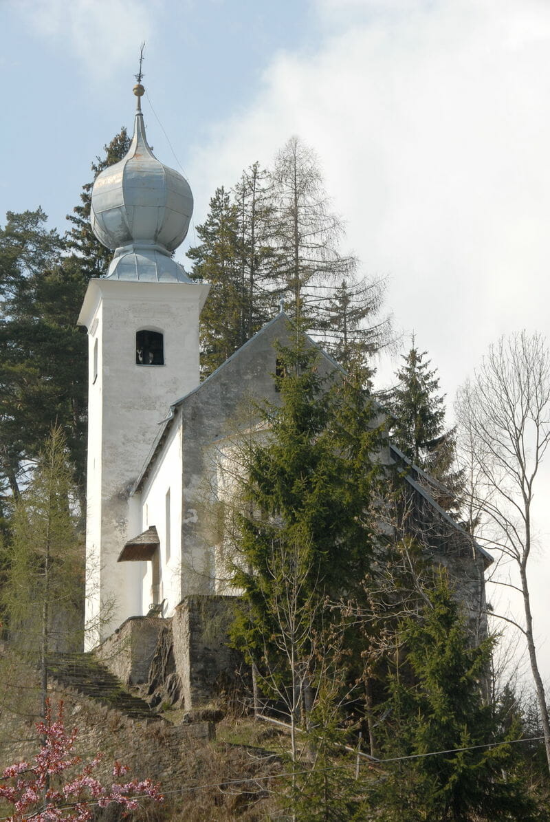
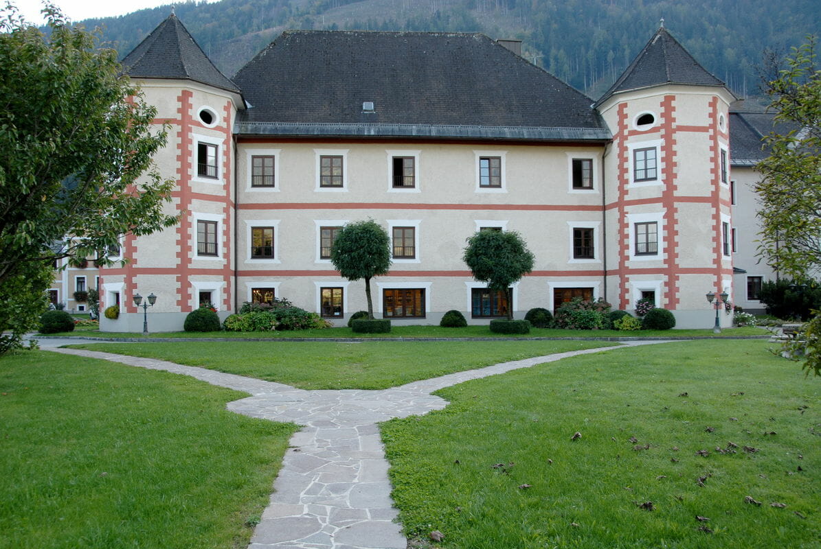
Near the Millstätter See, Möllbrücke (558m/1,831ft) has a Gothic church of St Leonard (15th C.) with beautiful choir stalls, a winged altar and a large statue of St Leonard. South of Möllbrücke lies the little village of Sachsenburg (552m/1,811ft; old town walls). Both the above villages are good bases for walks and climbs. Between the two valleys of the Möll and Drau lies the Salzkofel (2,498m/8,196ft), which can be climbed in six hours.
Natural healing resources
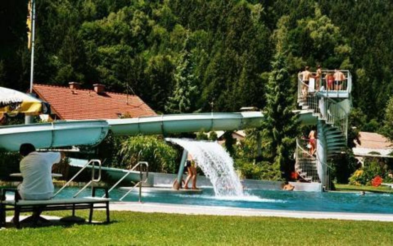
Activities in crisp, clear air make your holiday one of deep relaxation for body, mind and soul.