alpannonia - Regionale Route Podler - Hirschenstein

long-distance walking trail

© Unbekannt - Walter Laschober

© Unbekannt - Walter Laschober

© Unbekannt - Walter Laschober

© Unbekannt - Walter Laschober
- Brief description
-
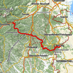
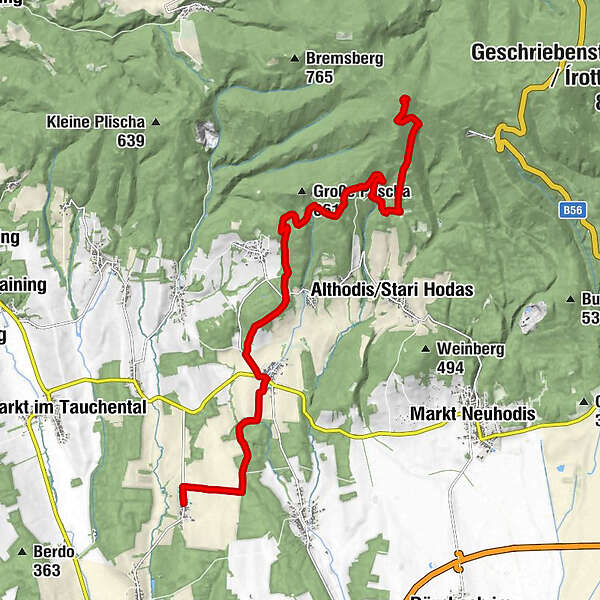
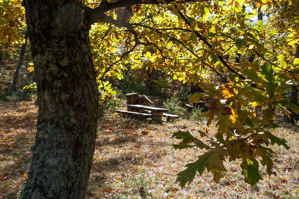
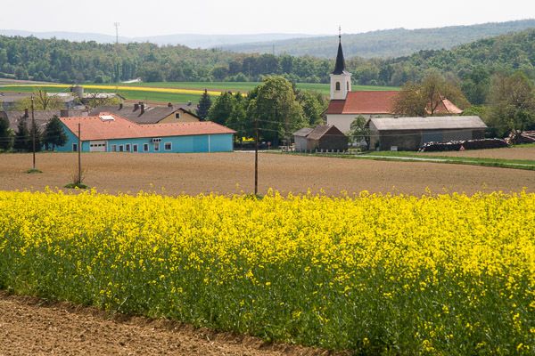
Diese Variante zum alpannonia-Hauptweg führt uns von Podler über Weiden bei Rechnitz und an Unter- u. Oberpodgoria bzw. am Baumwipfelweg vorbei zum Großen Hirschenstein.
- Difficulty
-
easy
- Rating
-
- Route
-
PodlerFilialkirche hl. AntoniusGasthof Schitter0.1 kmWeiden bei Rechnitz3.5 kmPfarrkirche hl. Johannes Nepomuk3.7 kmOberpodgoria6.3 kmGroßer Hirschenstein (862 m)13.4 km
- Best season
-
JanFebMarAprMayJunJulAugSepOctNovDec
- Highest point
- 855 m
- Endpoint
-
Großer Hirschenstein
- Height profile
-


- Author
-
The tour alpannonia - Regionale Route Podler - Hirschenstein is used by outdooractive.com provided.
GPS Downloads


General info
Refreshment stop
Other tours in the regions
-
Wiener Alpen
3051
-
Bucklige Welt - Wiener Alpen
792
-
Weiden bei Rechnitz
148