© Tourismusverband Südburgenland - Harald Popofsits

- Difficulty
-
easy
- Rating
-
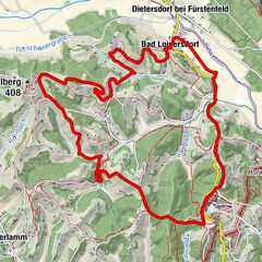
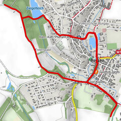
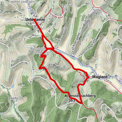
- Route
-
Güssing (229 m)Buffet4.4 kmGüssing (229 m)5.0 km
- Best season
-
JanFebMarAprMayJunJulAugSepOctNovDec
- Highest point
- 230 m
- Endpoint
-
Parkplatz Kindergarten/Teichgasse
- Height profile
-


- Author
-
The tour Ramsar Güssinger Fischteiche is used by outdooractive.com provided.
GPS Downloads


General info
Flora
Fauna
A lot of view
Other tours in the regions
-
Thermen- & Vulkanland
1323
-
Südburgenland
343
-
Güssing
90