© Günther Schranz

© Günther Schranz

© Günther Schranz

© Günther Schranz

© Günther Schranz

© Günther Schranz

© Günther Schranz

© Günther Schranz

© Günther Schranz

© Günther Schranz
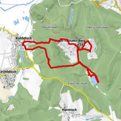
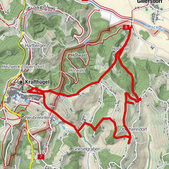
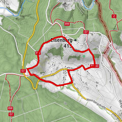
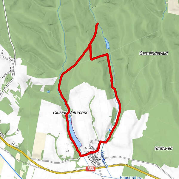
Tour data
9.82km
212
- 264m
134hm
134hm
02:27h
- Brief description
-
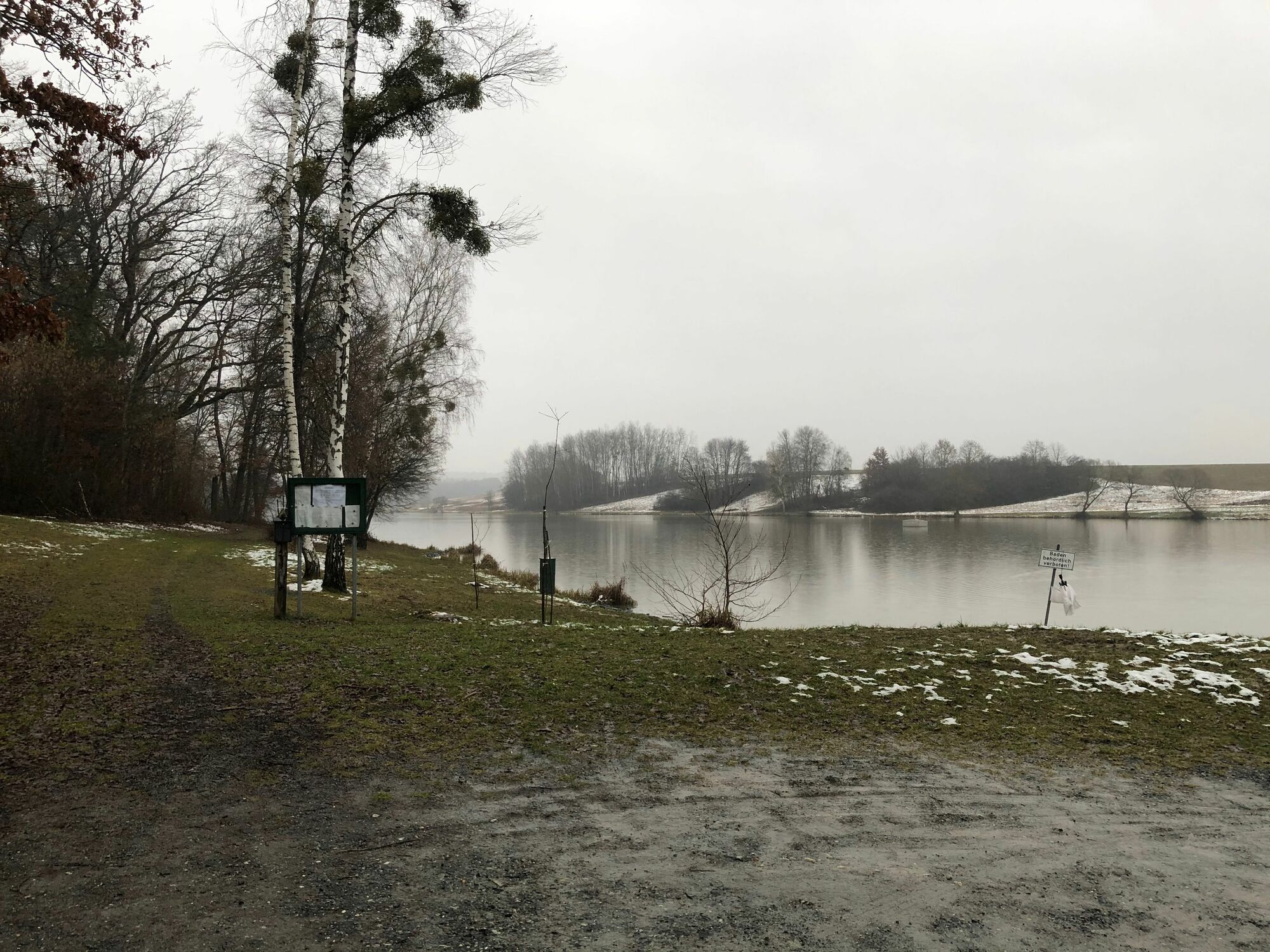
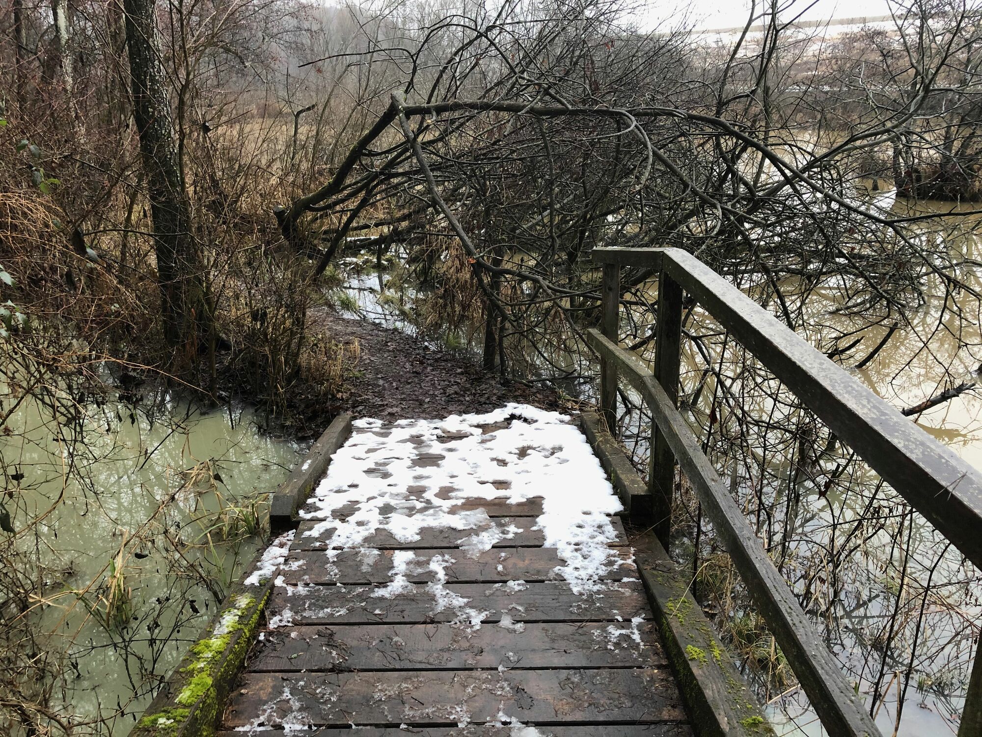
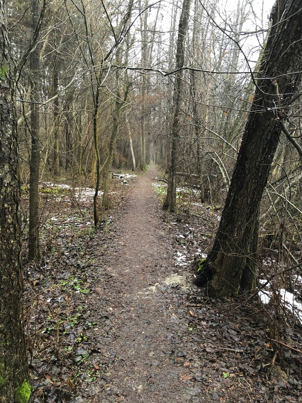
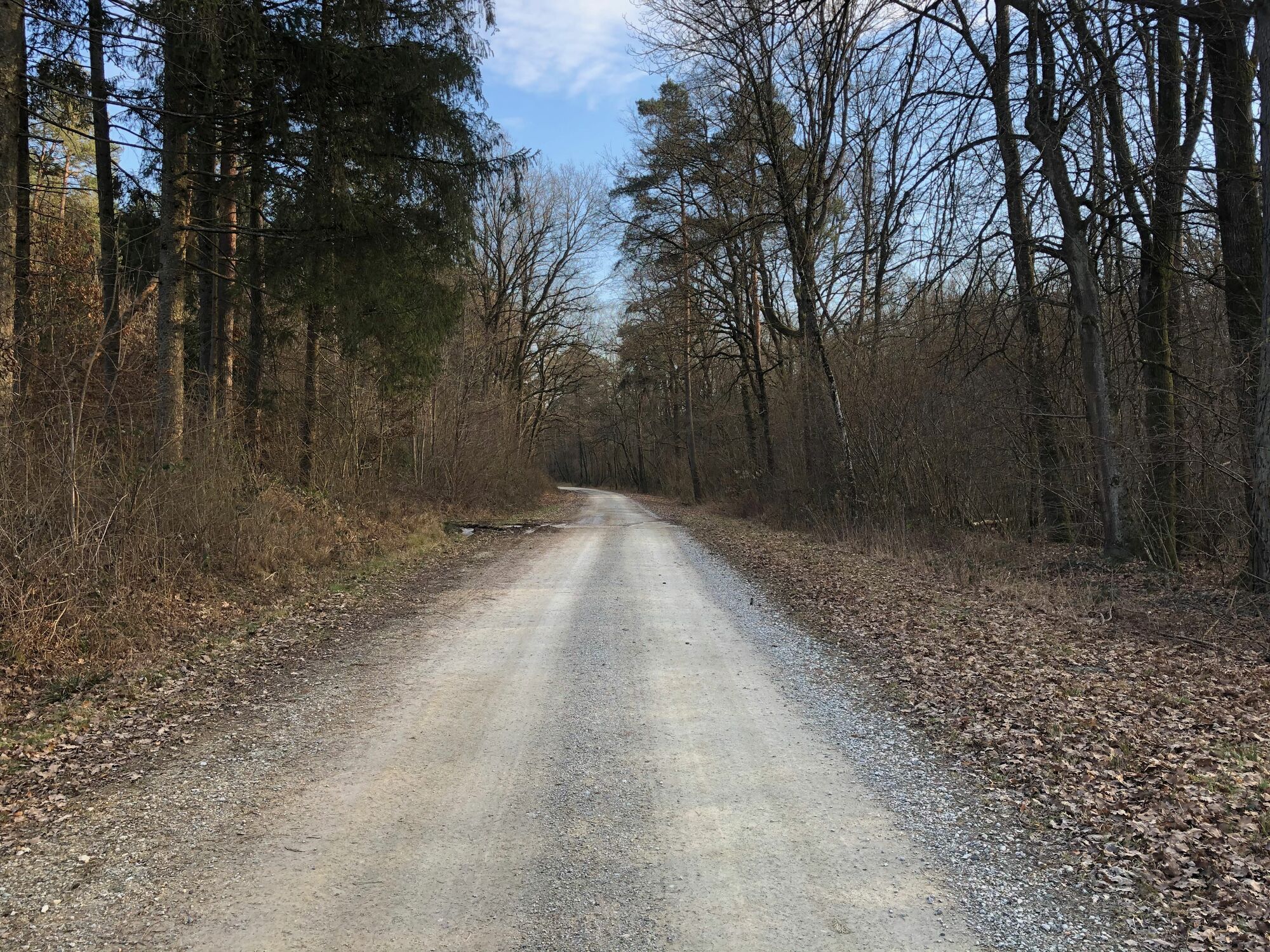
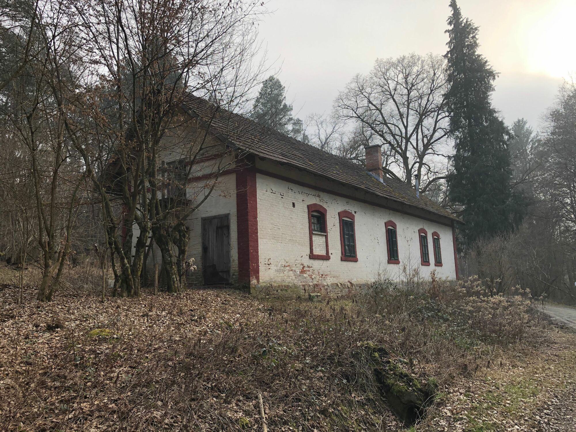
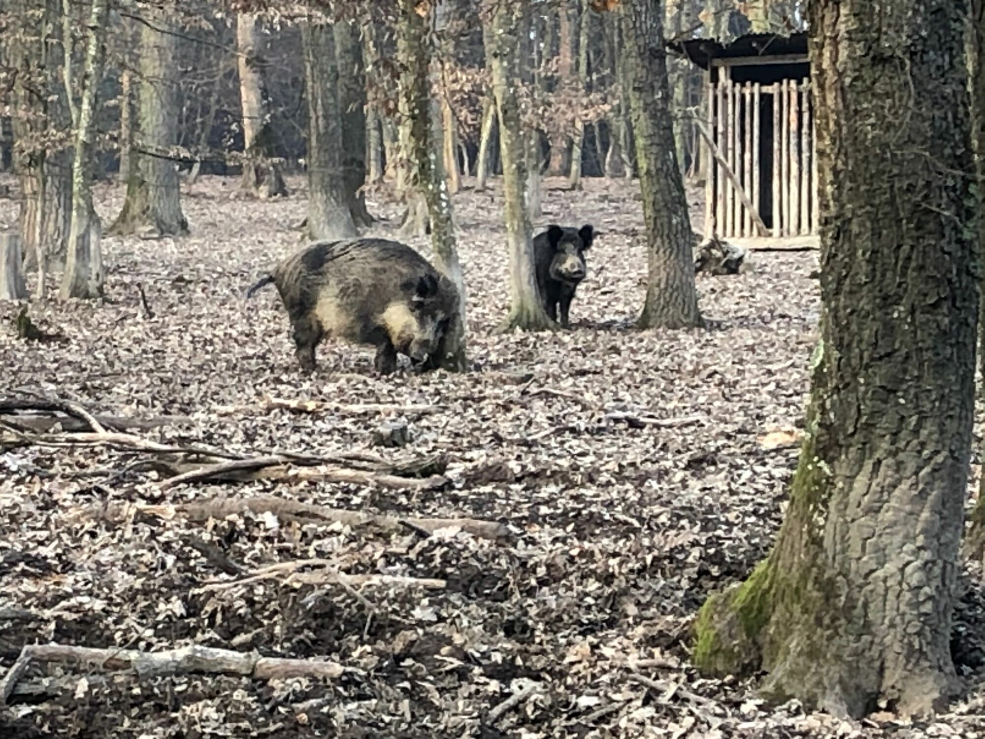
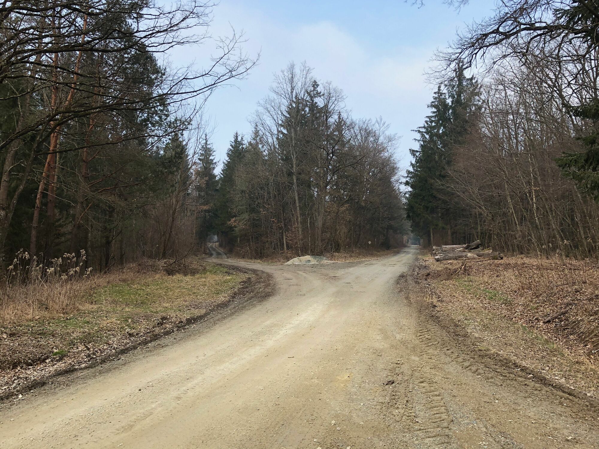
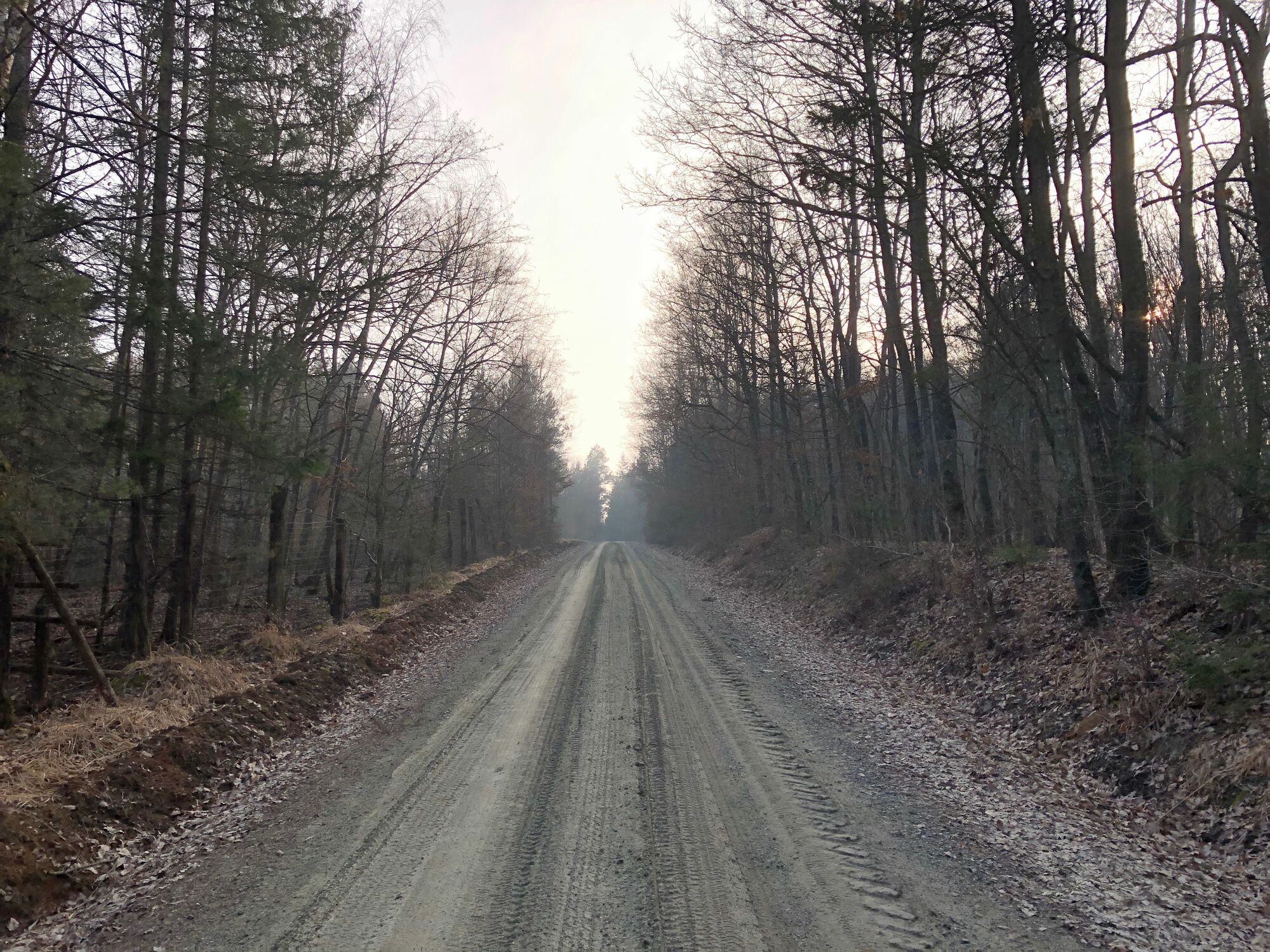
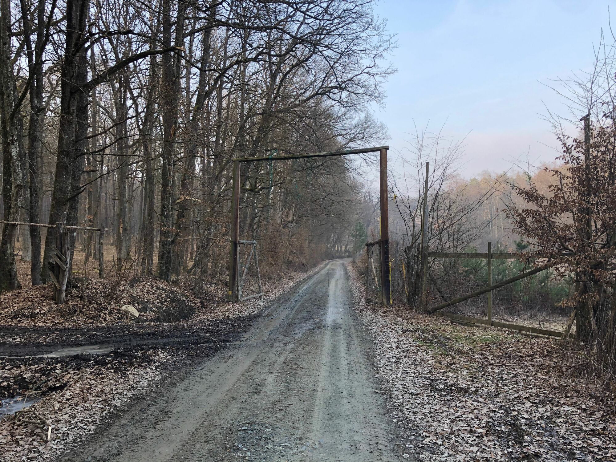
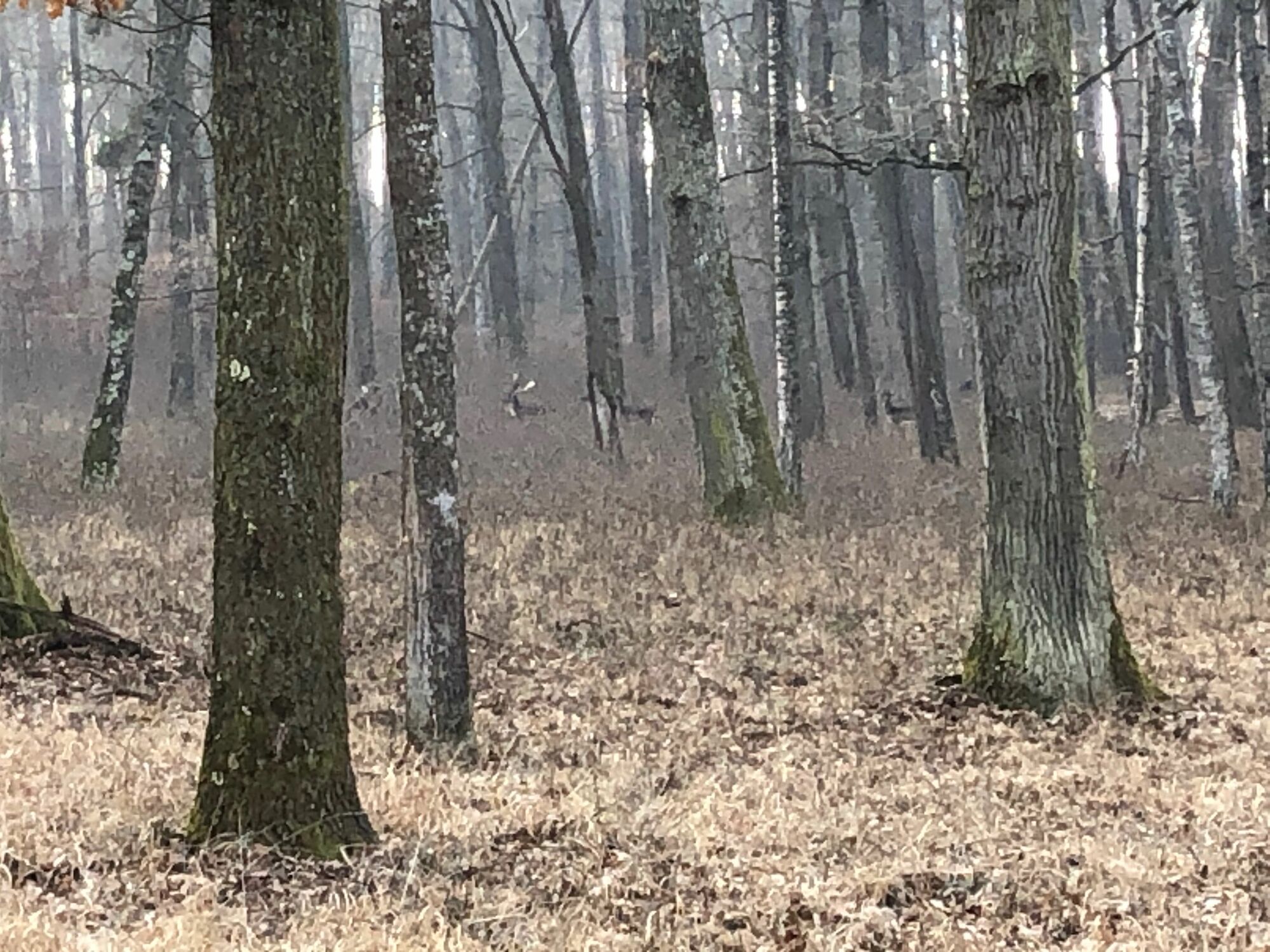
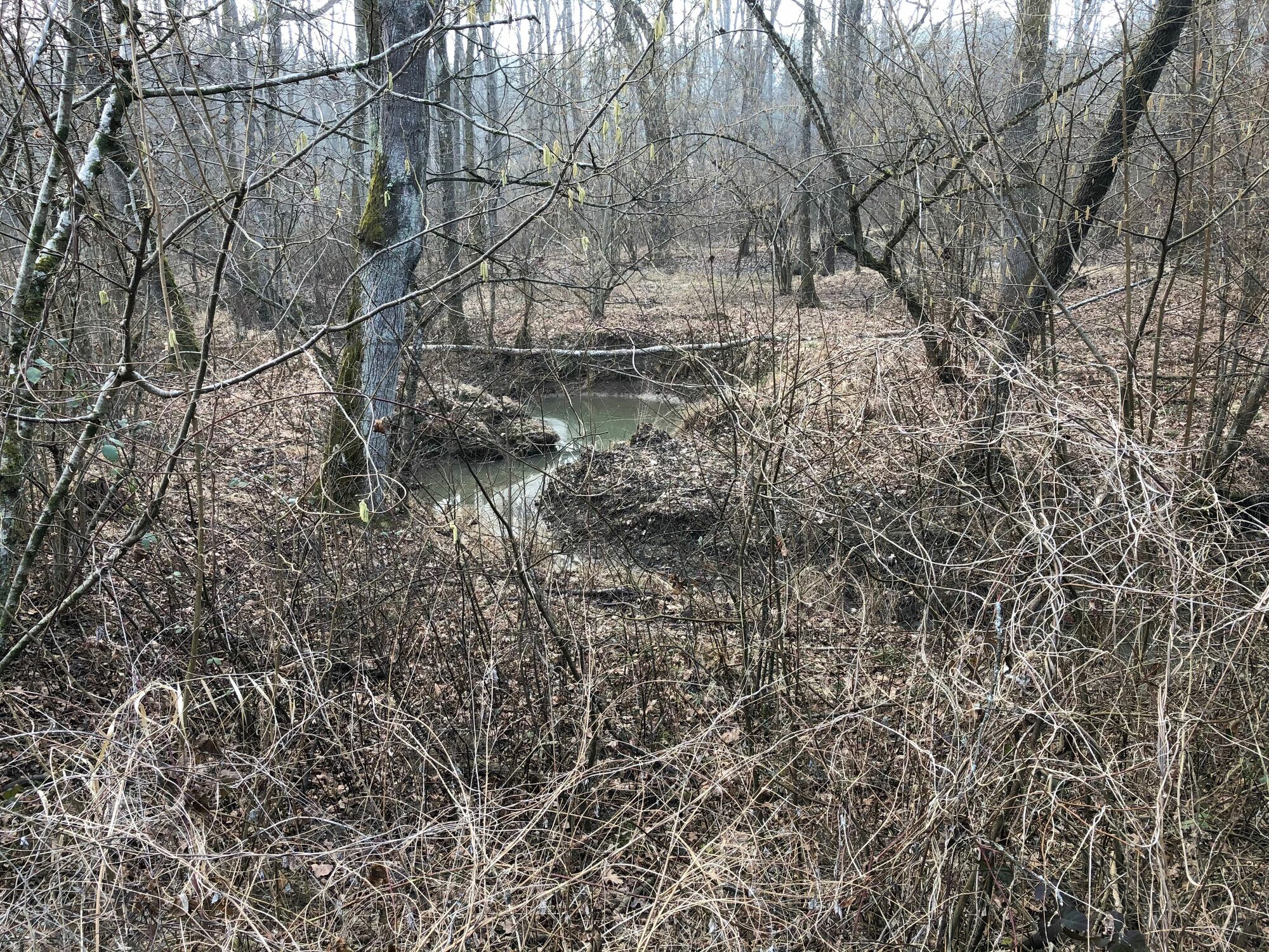
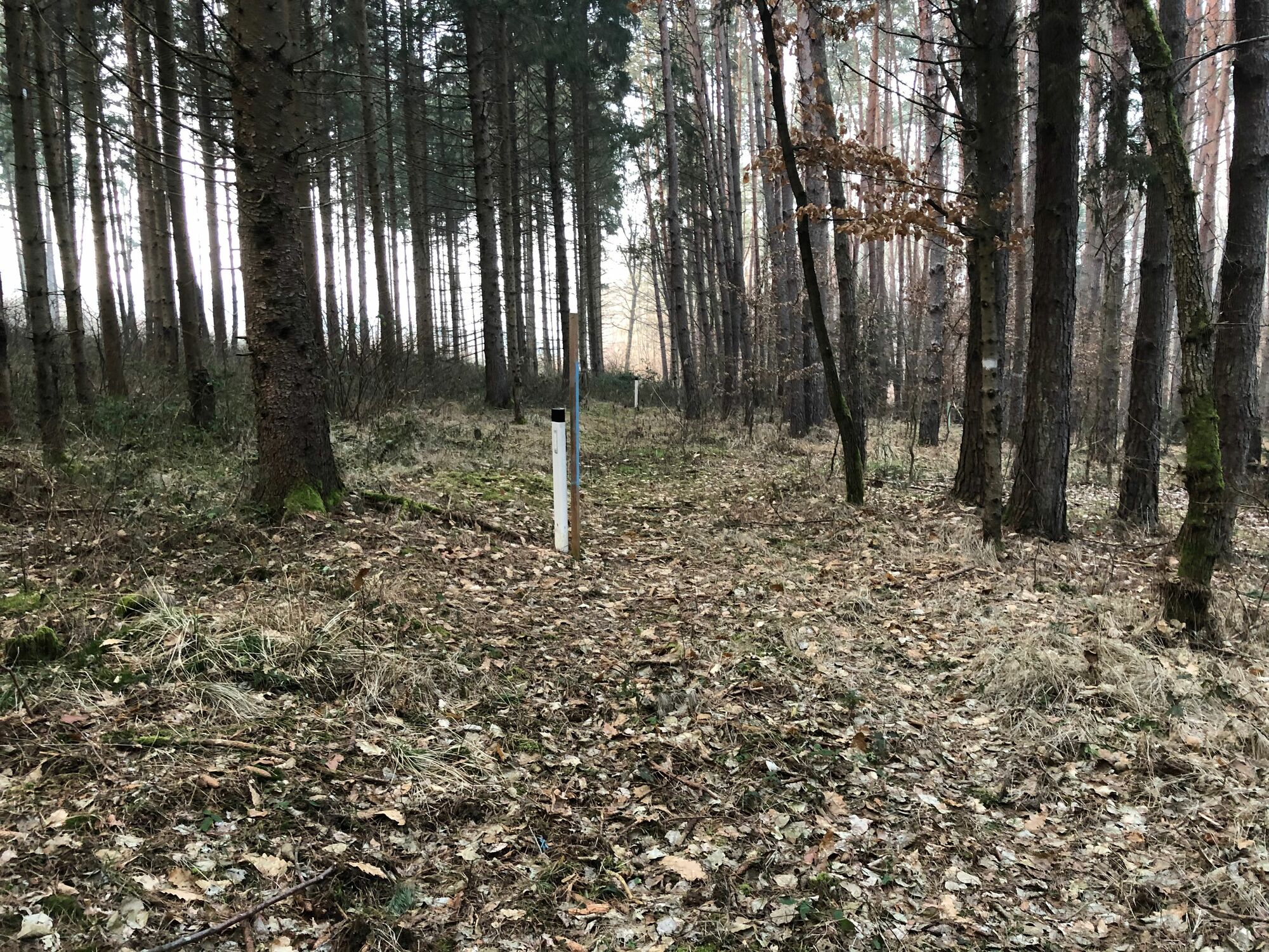
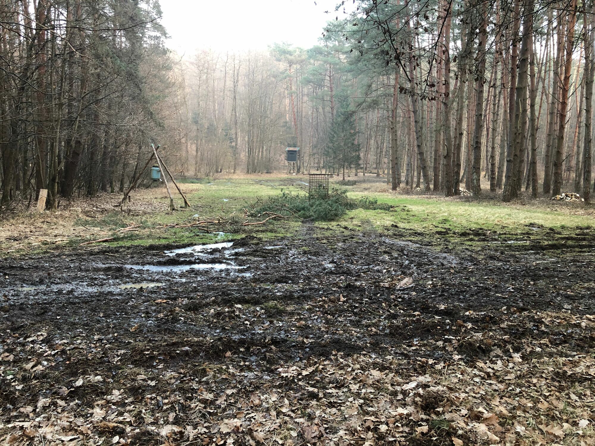
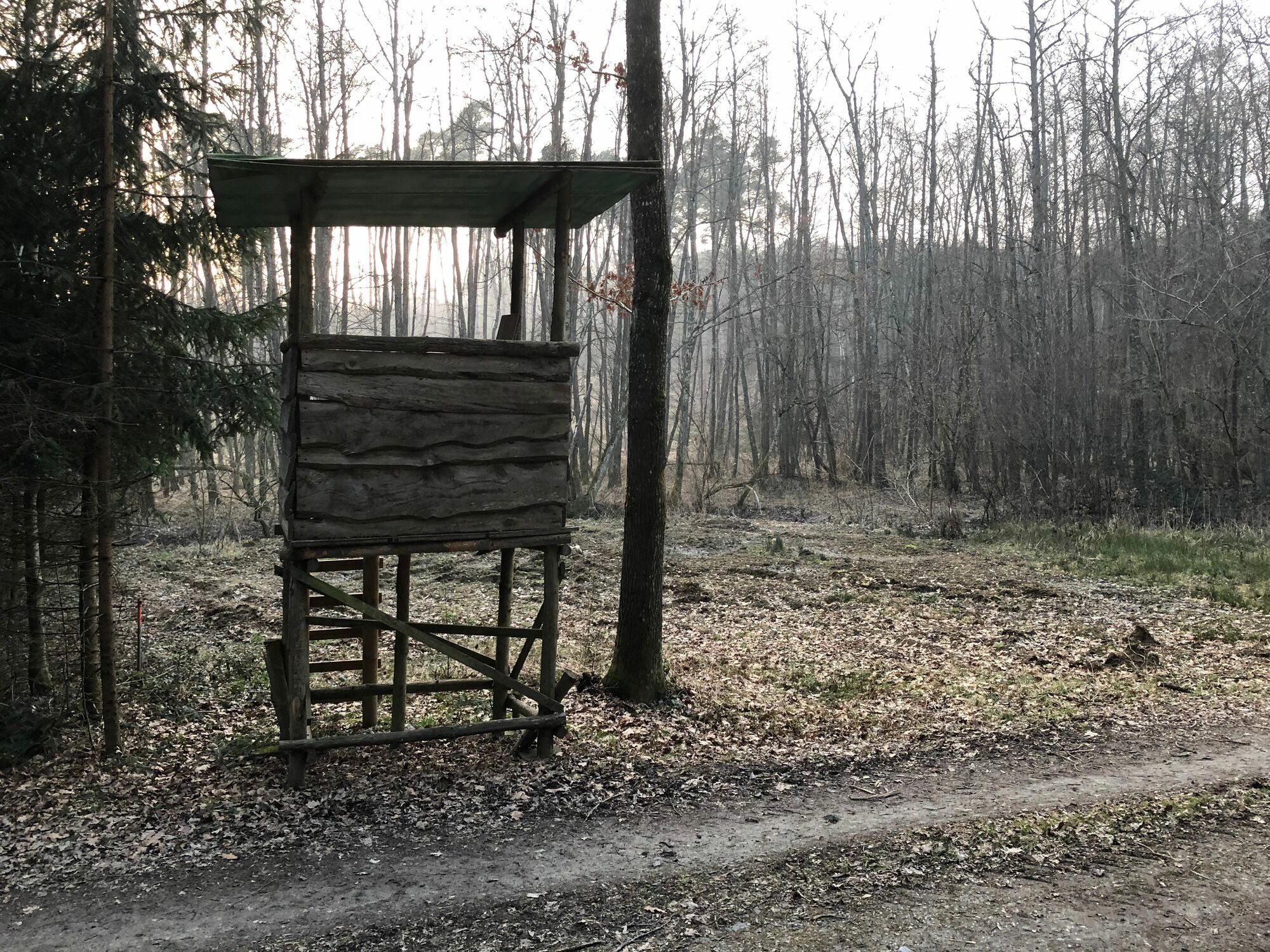
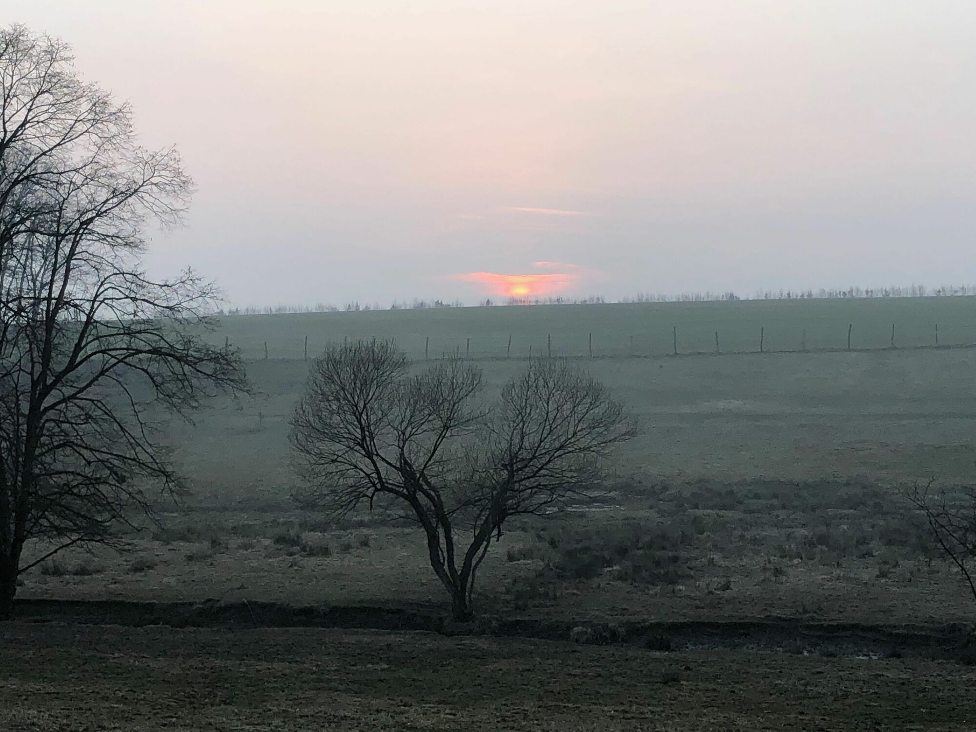
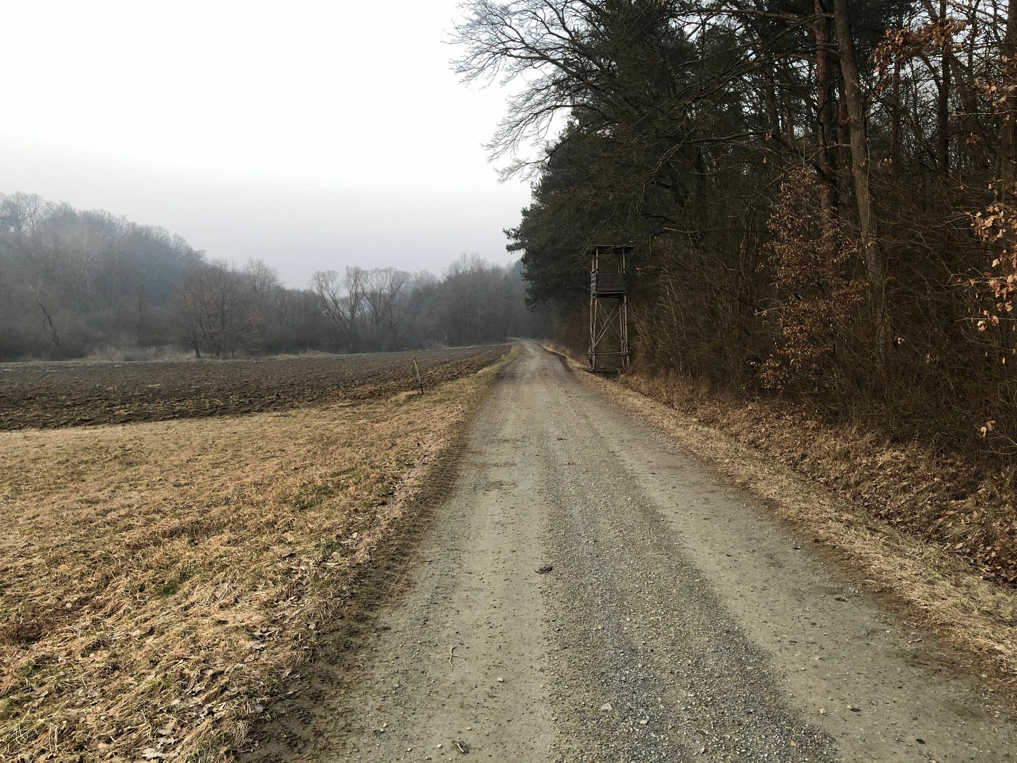
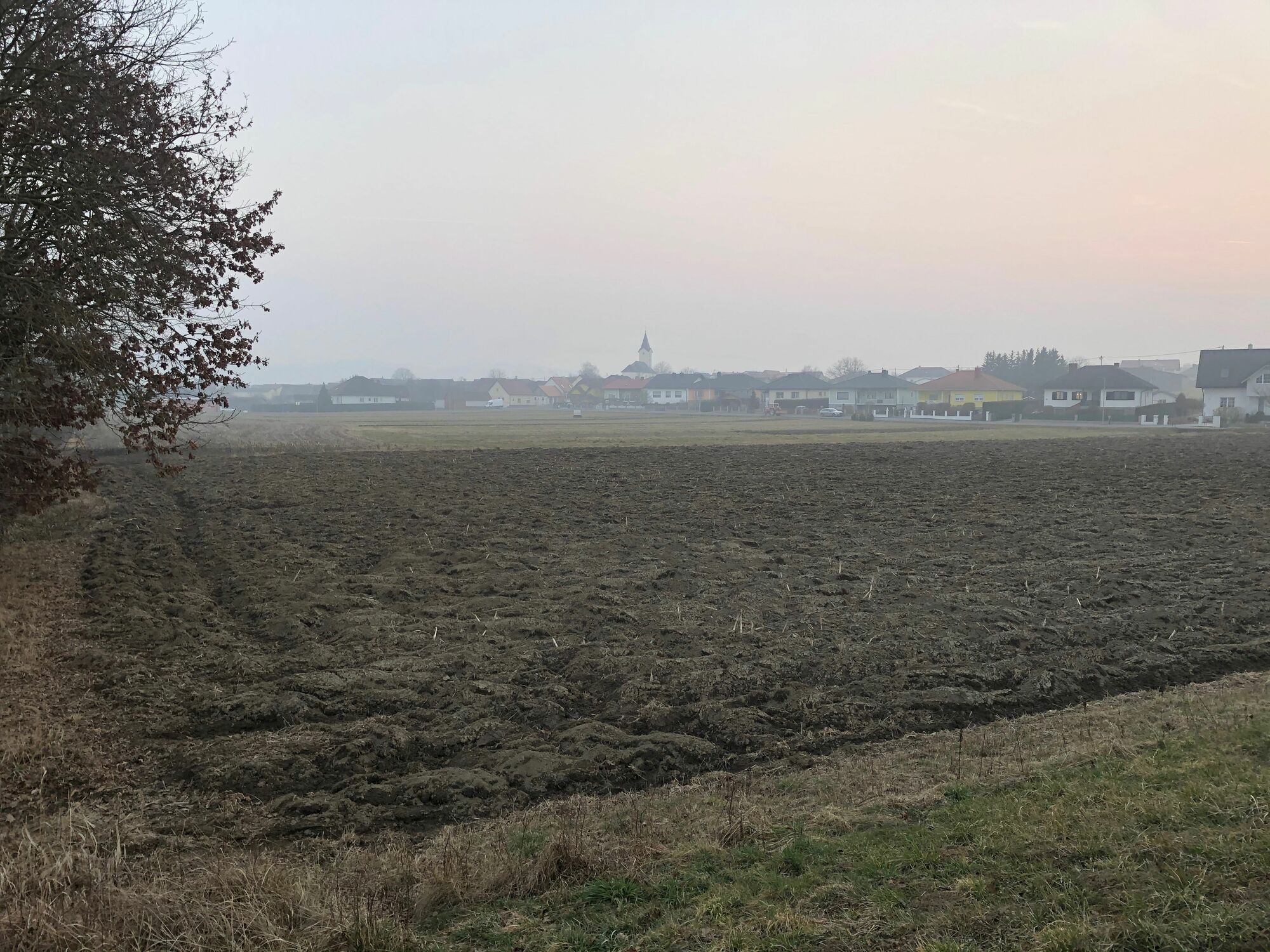
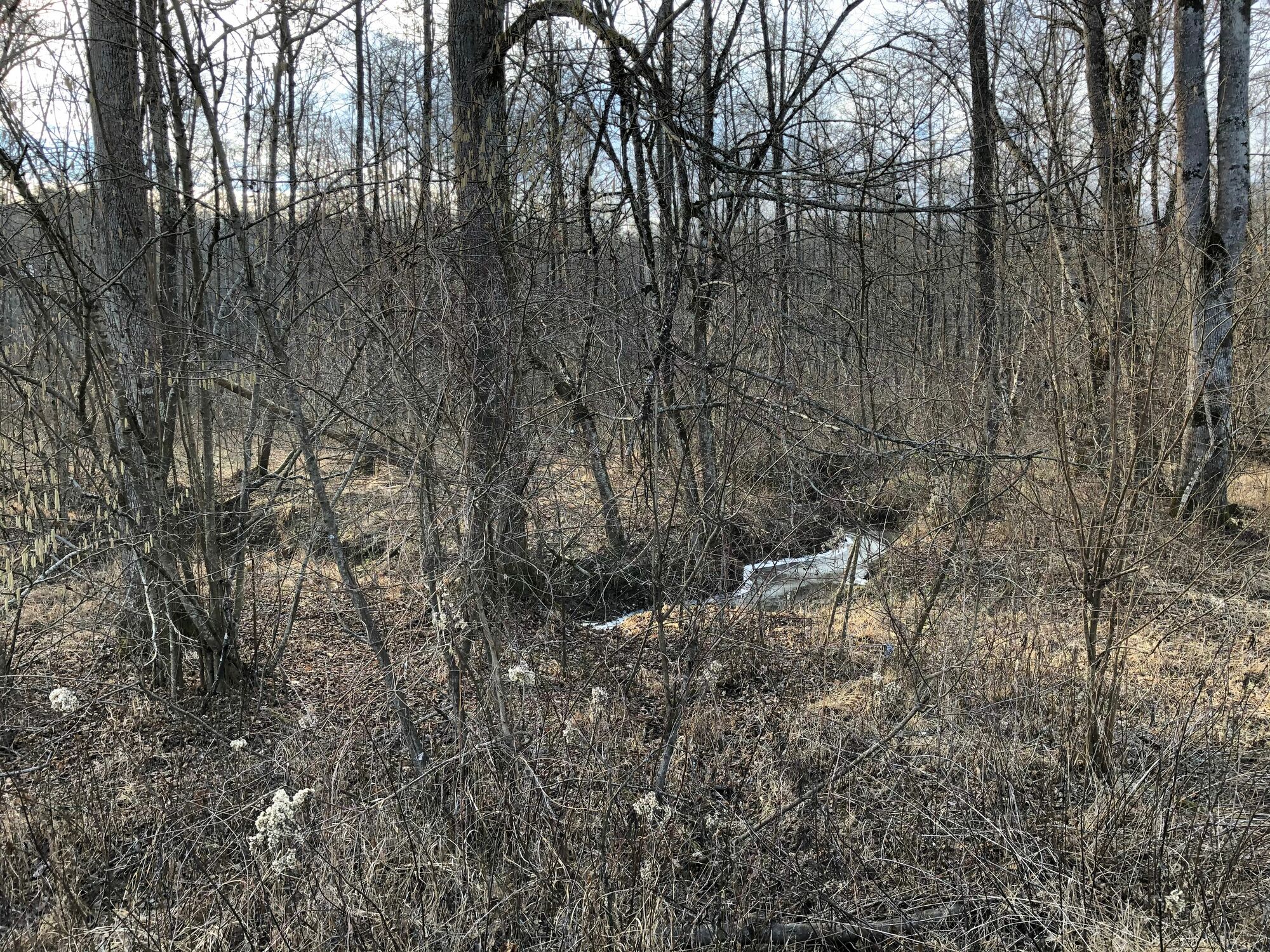
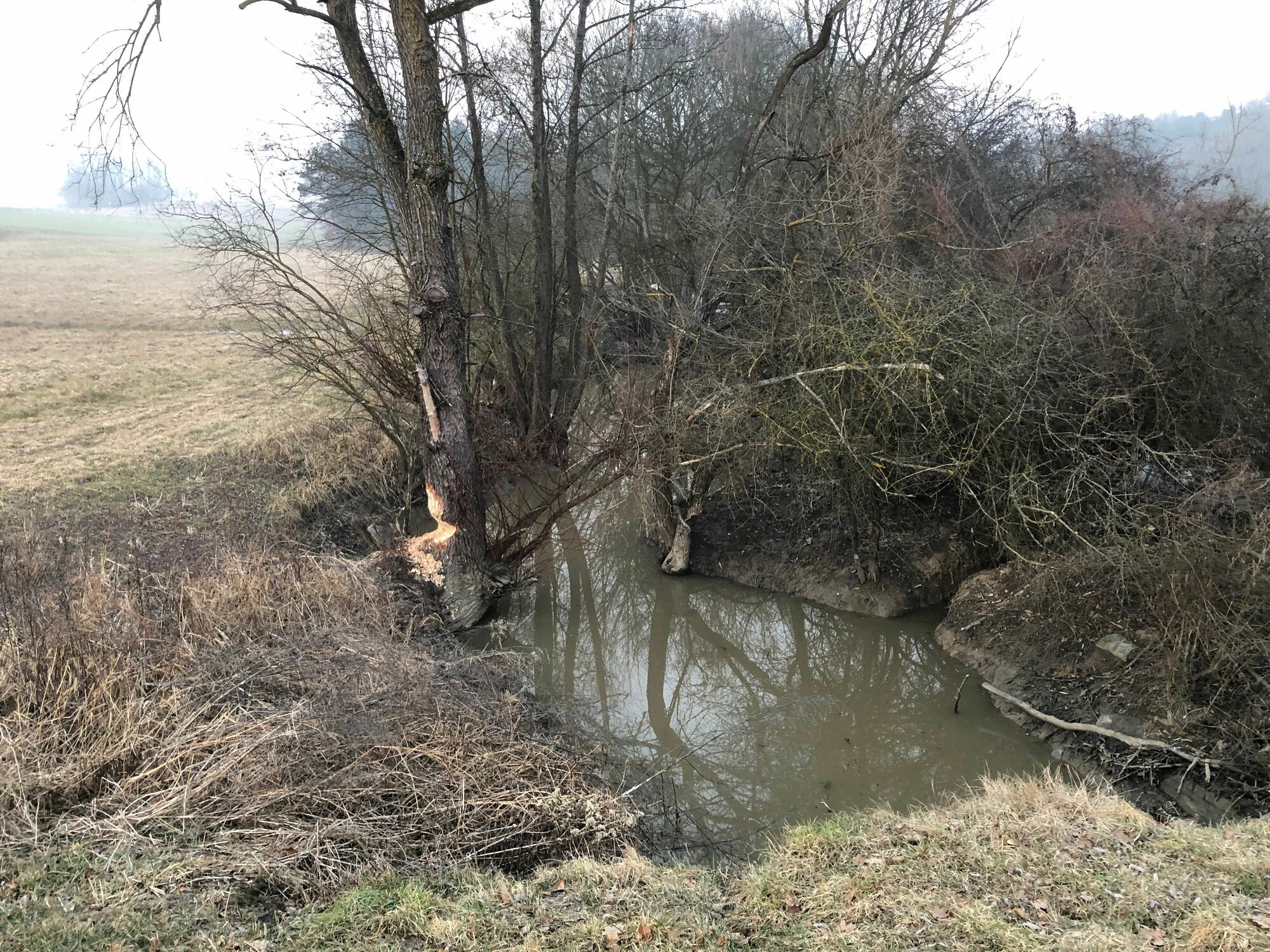
Abwechslungsreiche Erkundungstour rund um den Urbersdorfer Stausee und den dahinter liegenden Wald.
- Difficulty
-
easy
- Rating
-
- Starting point
-
Parkplatz am See
- Route
-
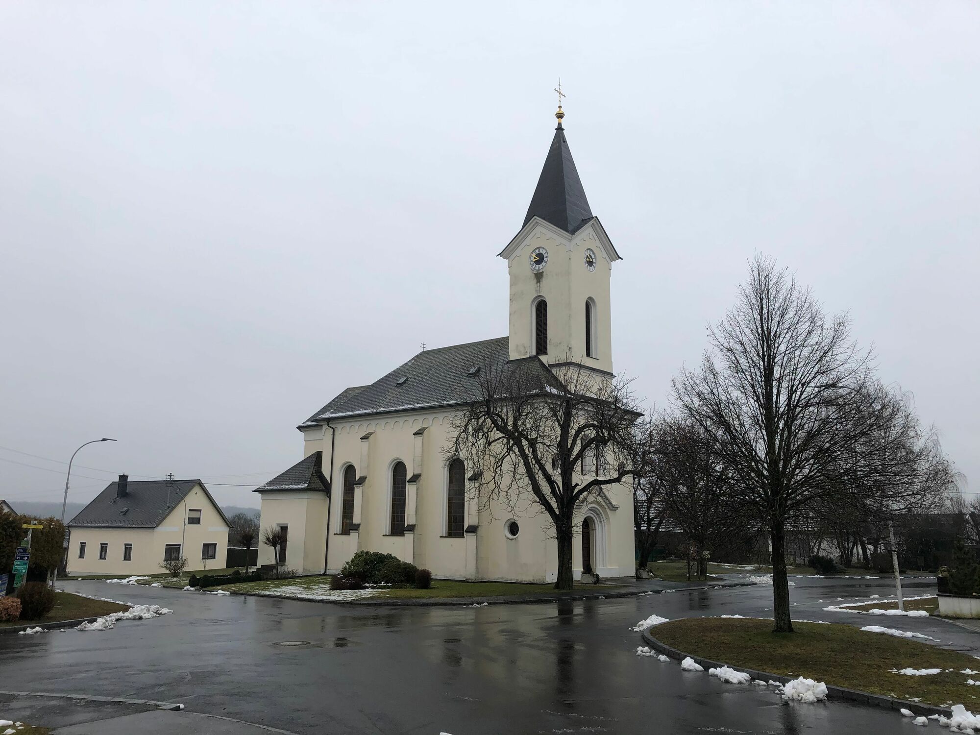
Urbersdorf (218 m)Filialkirche zur seligsten Jungfrau Maria9.1 kmUrbersdorf (218 m)9.1 km
- Best season
-
JanFebMarAprMayJunJulAugSepOctNovDec
- Highest point
- 264 m
- Endpoint
-
Ausgangspunkt
- Rest/Retreat
-
In Urbersdorf
- Source
- Günther Schranz
GPS Downloads


Trail conditions
Asphalt
(ca 10%)
Gravel
Meadow
(ca 10%)
Forest
(ca 80%)
Rock
Exposed
Other tours in the regions
-
Thermen- & Vulkanland
1327
-
Südburgenland
344
-
Güssing
90