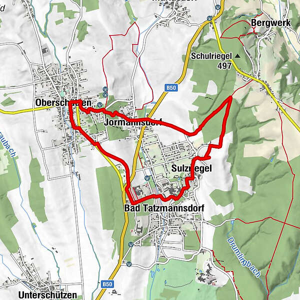
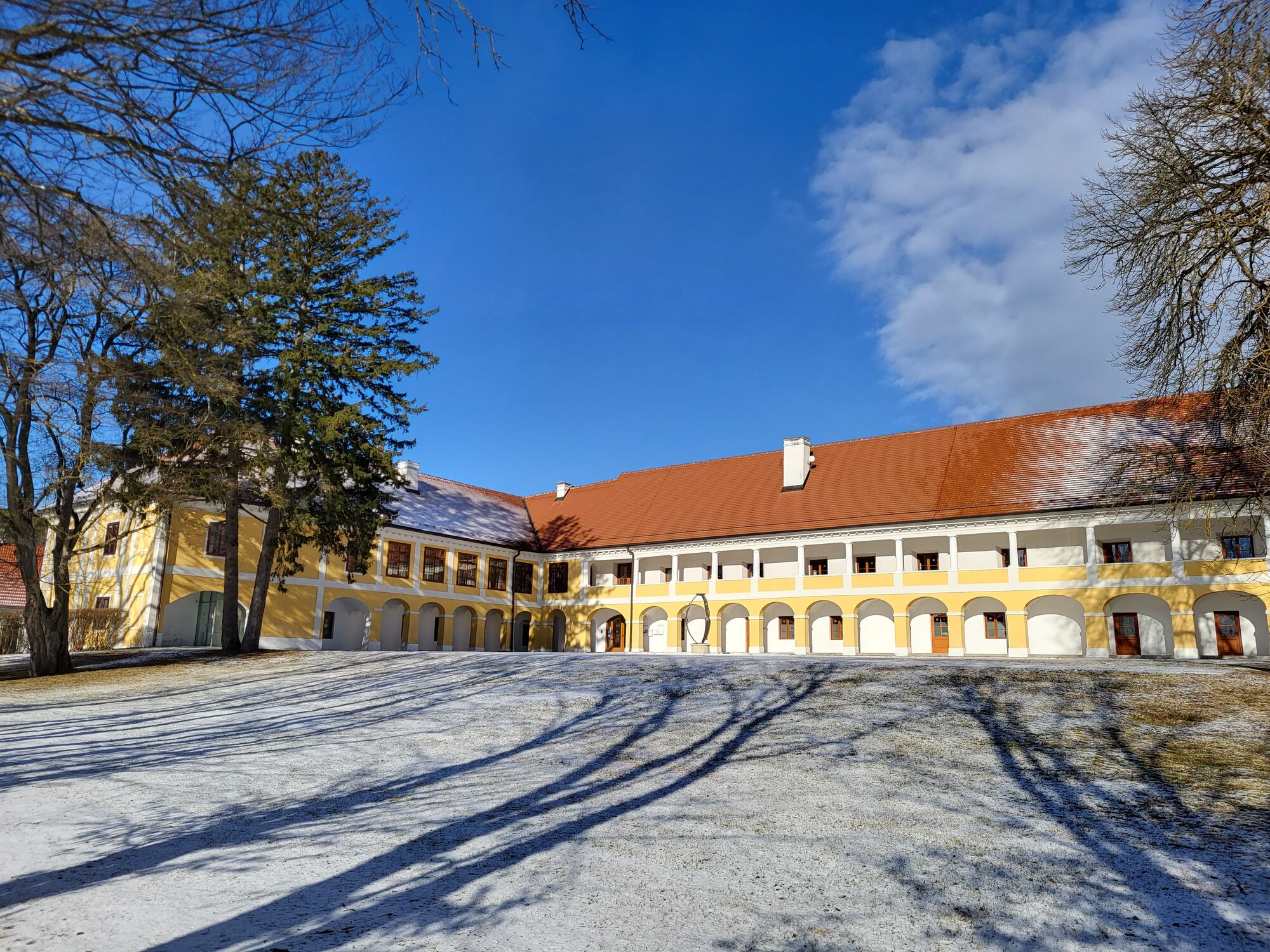
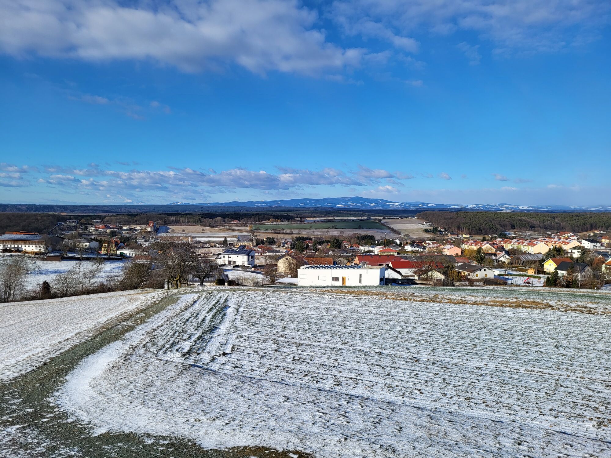
Bad Tatzmannsdorf - Sulzriegel - Jormannsdorf - Oberschützen - Bad Tatzmannsdorf

Hiking


Tour data
9.2km
336
- 446m
168hm
171hm
01:35h
- Brief description
-
Bad Tatzmannsdorf - Sulzriegel - Jormannsdorf - Oberschützen - Bad Tatzmannsdorf
- Difficulty
-
easy
- Rating
-
- Best season
-
JanFebMarAprMayJunJulAugSepOctNovDec
- Highest point
- 446 m

GPS Downloads


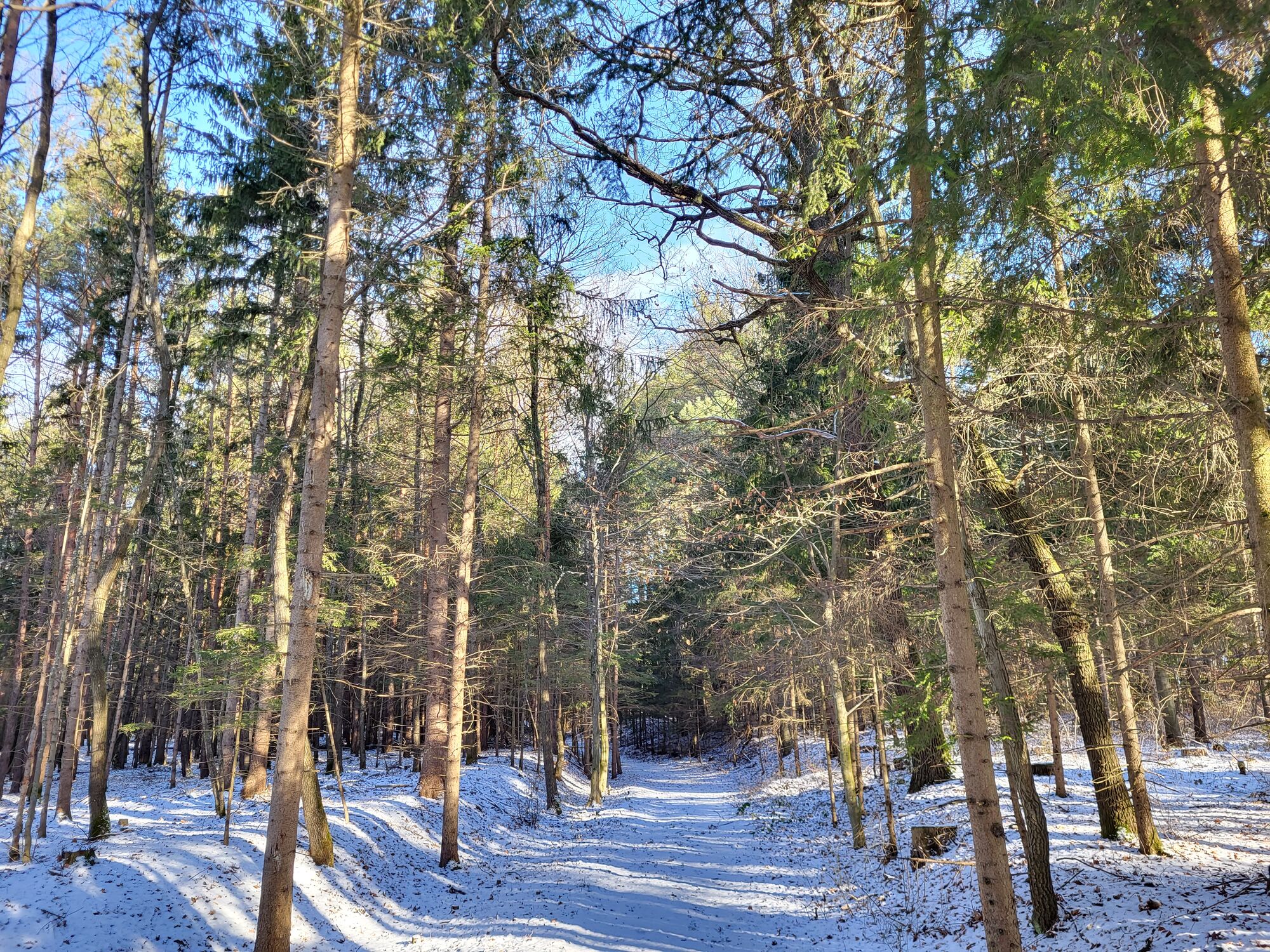
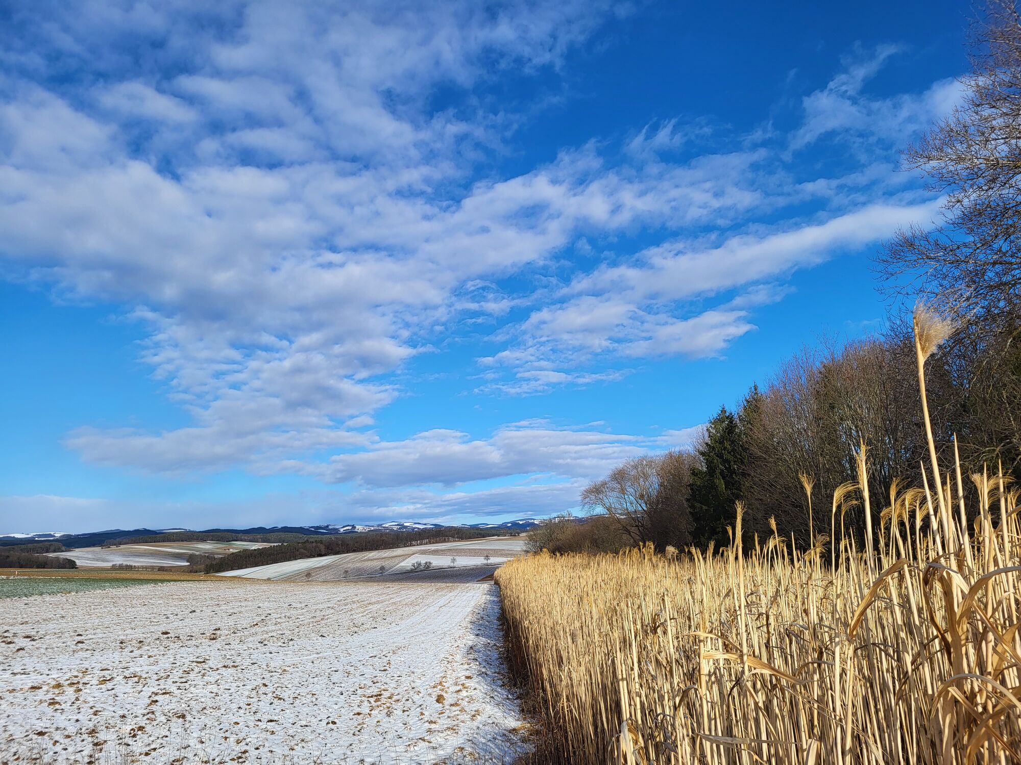
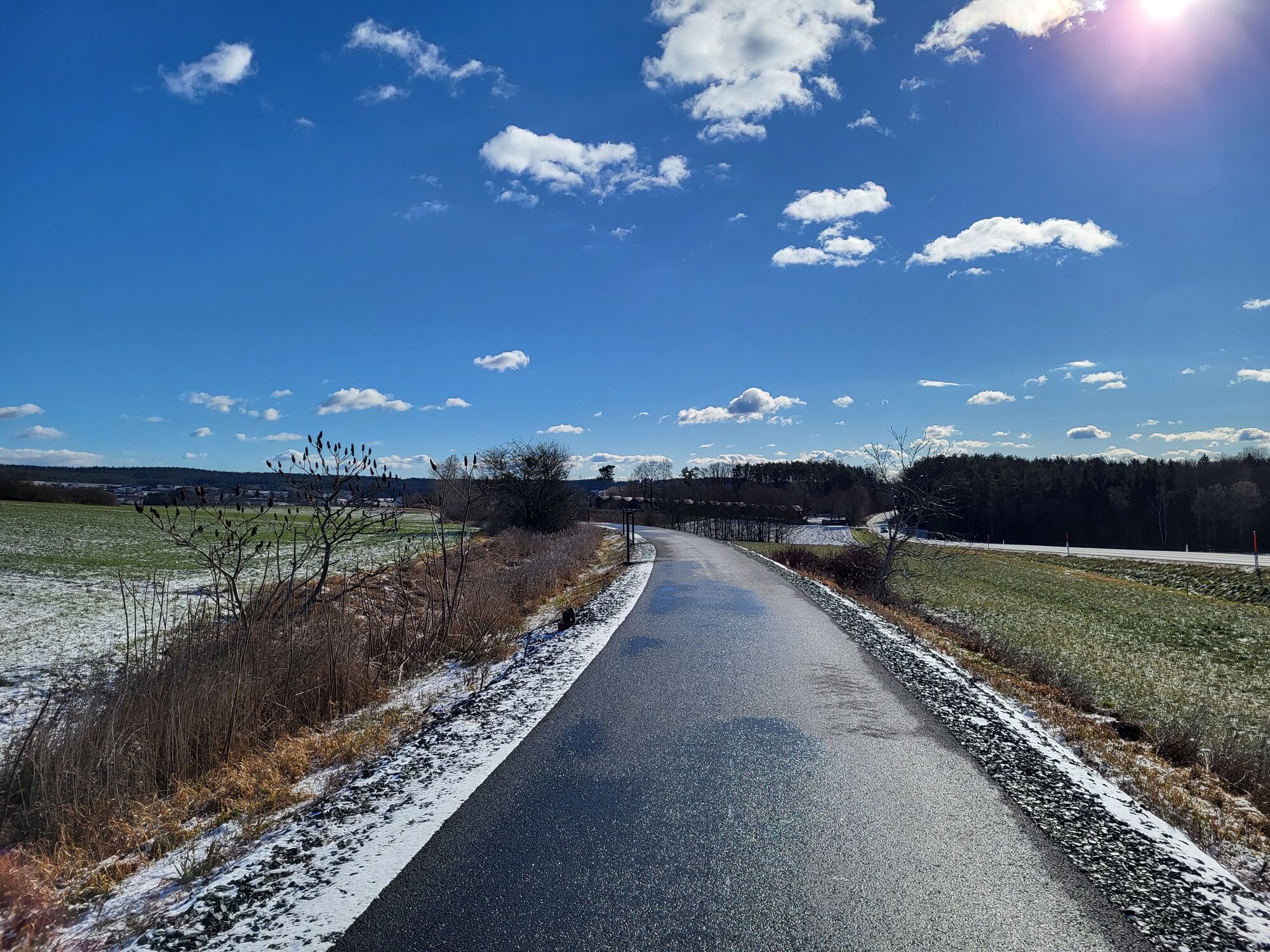
Trail conditions
Asphalt
Gravel
Meadow
Forest
Rock
Exposed
Other tours in the regions
-
Wiener Alpen
3051
-
Kräuterregion Wechselland
1084
-
Bad Tatzmannsdorf
90