Panoramawanderung Assing - Ladstatt - Tscheltsch - Kebas - Liesing

Hiking

© Heimat HD - heimat-hd.at


- Brief description
-
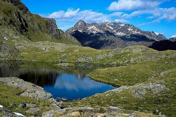
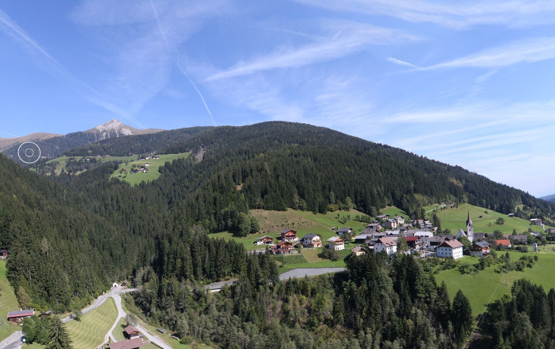
Schöne und aussichtsreiche Rundwanderung
- Difficulty
-
medium
- Rating
-
- Route
-
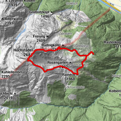
Pfarrkirche Heiliger NikolausGasthaus Wilhelmer0.0 kmLiesing0.3 kmPallas1.9 kmAssing2.7 kmLadstatt4.1 kmTscheltsch5.7 kmKlebas7.8 kmGasthaus Wilhelmer8.4 kmLiesing8.4 kmPfarrkirche Heiliger Nikolaus8.4 km
- Best season
-
JanFebMarAprMayJunJulAugSepOctNovDec
- Highest point
- 1,421 m
- Endpoint
-
Liesing
- Height profile
-

- Author
-
The tour Panoramawanderung Assing - Ladstatt - Tscheltsch - Kebas - Liesing is used by outdooractive.com provided.
GPS Downloads


General info
A lot of view
Other tours in the regions