
- Brief description
-
Beautiful, shady and not steep path, but a bit steeper to Oberbuchacher Alm. From both alpine pastures beautiful view over the valley.
- Difficulty
-
medium
- Rating
-
- Route
-
Gundersheim0.2 kmGriminitzen0.7 kmOberbuchach3.0 km
- Best season
-
JanFebMarAprMayJunJulAugSepOctNovDec
- Description
-
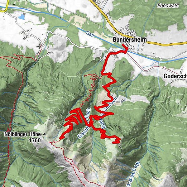
Follow the road from Griminitzen to Oberbuchach. Continue on the alpine path to the Gundersheimer Alm. Turn off to the Oberbuchacher Alm, turn left before the brook crossing.Nice, shady and not steep path, but a little steeper to Oberbuchacher Alm.
- Directions
-
Goods way from Griminitzen to Oberbuchach, further alpine pasture way to the Gundersheimer Alm, with branching off to Oberbuchacher Alm before the brook crossing left.beautiful, shady and not steep way, however to Oberbuchacher Alm somewhat steeper. From both pastures beautiful view over the valley.
- Highest point
- 1,674 m
- Endpoint
-
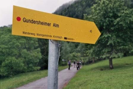
Oberbuchacher Alm, Gundersheimer Alm
- Height profile
-

- Equipment
-
Sturdy shoes
Drinks and snacks
- Tips
-
From both mountain pastures beautiful view over the valley.
- Directions
-
Take the B111 to Gundersheim until the Griminitzen junction. Continue directly to Griminitzen.
- Public transportation
-
Arrival to Gundersheim by public transport possible.
Take the bus to Gundersheim, continue on foot over the Gail Bridge -> Griminitzen
www.nassfeld.at/mobilitaet
- Parking
-
There is a parking lot in Griminitzen by the ski lift.
- Author
-
The tour Oberbuchacher Alm / Gundersheimer Alm is used by outdooractive.com provided.