
- Brief description
-
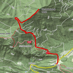
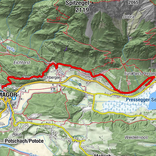
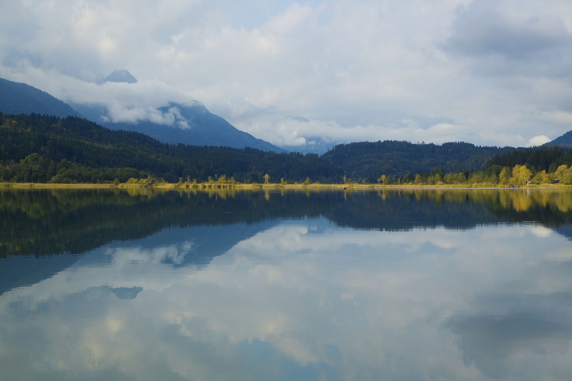
Easy hike from Hermagor to Pressegger See.
- Difficulty
-
easy
- Rating
-
- Route
-
Sant'ErmagoraNeuprießenegg0.0 kmNeuprießnegg0.0 kmObervellach2.7 kmVellach-Khünburg4.2 kmKhünburg5.6 kmTroi6.4 kmPresseggersee7.5 km
- Best season
-
JanFebMarAprMayJunJulAugSepOctNovDec
- Directions
-
12 Hiking trail Hermagor - Khünburg - Lake Pressegger
Starting point: LKH Hermagor (walking time to Obervellach ¾ Std,
to Khünburg 1½ hrs, to the Pressegger lake 1¾ hrs). The cyclists
Street is left at the hospital after the parking lot on the right,
Shortly afterwards the lovely forest path to Rastegarten begins (15 min.),
later it goes, partly through bushes, partly over the wood delivery path,
eastward. Obervellach is reached by a small bridge. Here follows
follow the path 248 for 150m, then turn right again onto the high trail
12 to get there. Beautiful viewpoints, snow lilies bloom in spring,
cyclamen in summer. After crossing the village
Khünburg the forest path leads parallel to the main road to the village
Presseggersee, which can be reached in the area of the train station.
- Highest point
- 708 m
- Endpoint
-
Pressegger See/Bahnhaltestelle
- Height profile
-

- Directions
-
Approach via the B111 to Hermagor.
- Public transportation
-
Arrival to Hermagor by public transport possible.
www.nassfeld.at/mobilitaet
- Parking
-
Parking spaces are available at the starting point of the tour.
- Author
-
The tour Wanderweg Hermagor-Khünburg-Pressegger See is used by outdooractive.com provided.