
- Brief description
-
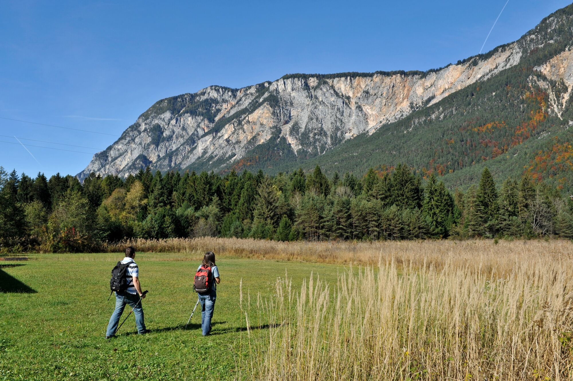
A relatively short and flat hike through the landslide area of "Schütt."
- Difficulty
-
easy
- Rating
-
- Starting point
-
Oberschütt Fire Station
- Route
-
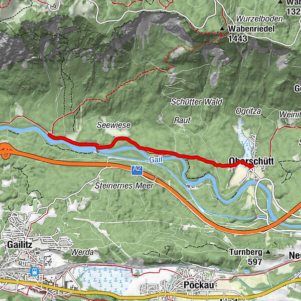
OberschüttSankt Maria Magdalena0.0 kmAlmwirtschaft Schütt3.8 kmSankt Maria Magdalena7.5 kmOberschütt7.6 km
- Best season
-
JanFebMarAprMayJunJulAugSepOctNovDec
- Description
-
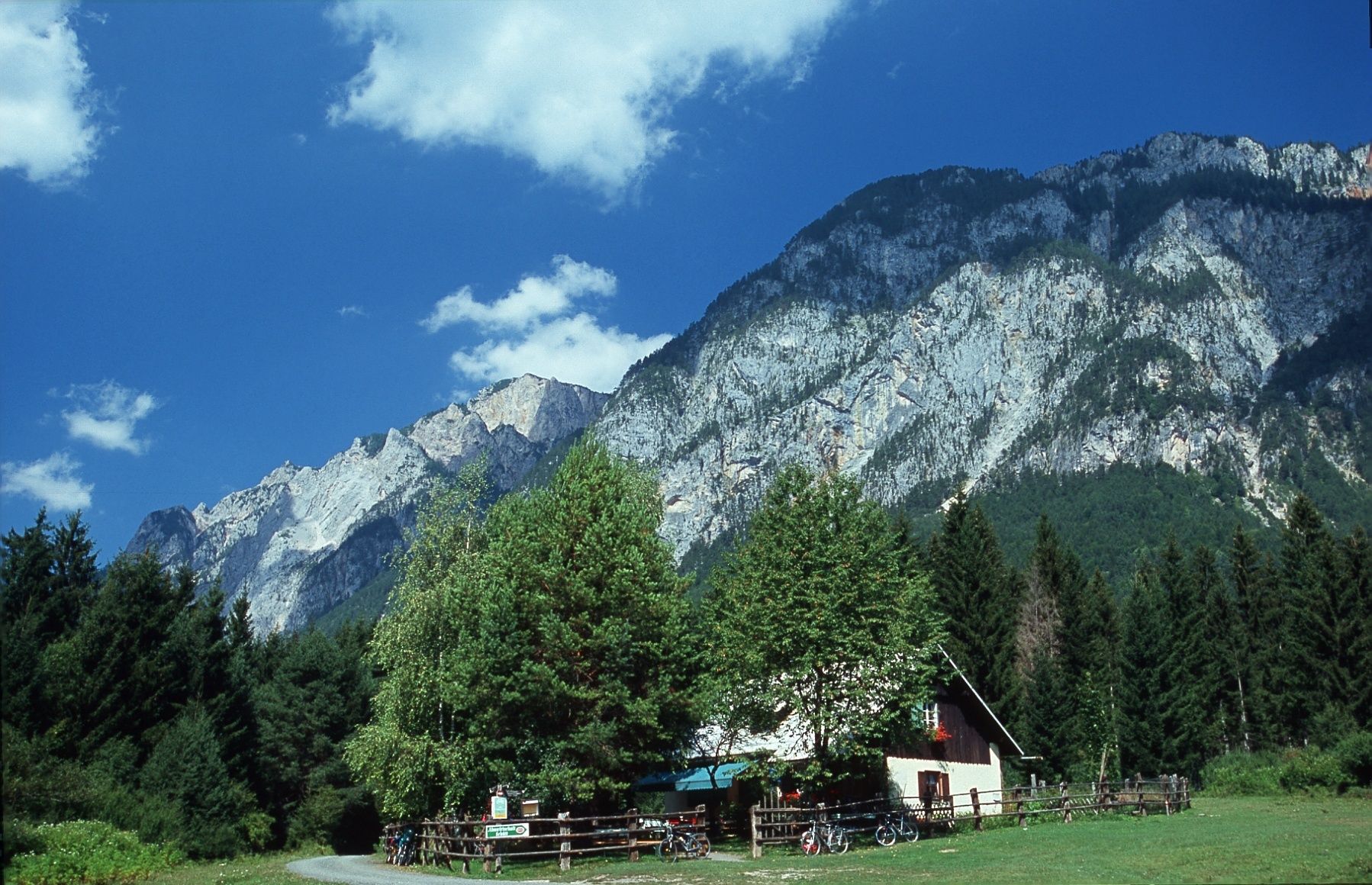
The southern side of the Dobratsch and the extensive landslide area of "Schütt" is not only one of the most impressive and scientifically-interesting landscapes of Carinthia, it is also one of the major natural landscapes of the entire Alps region.
- Directions
-
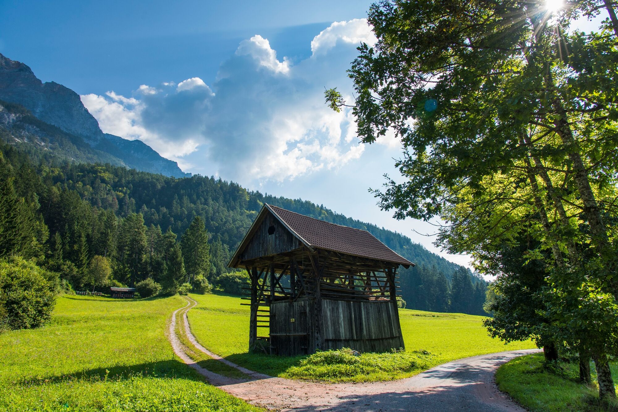
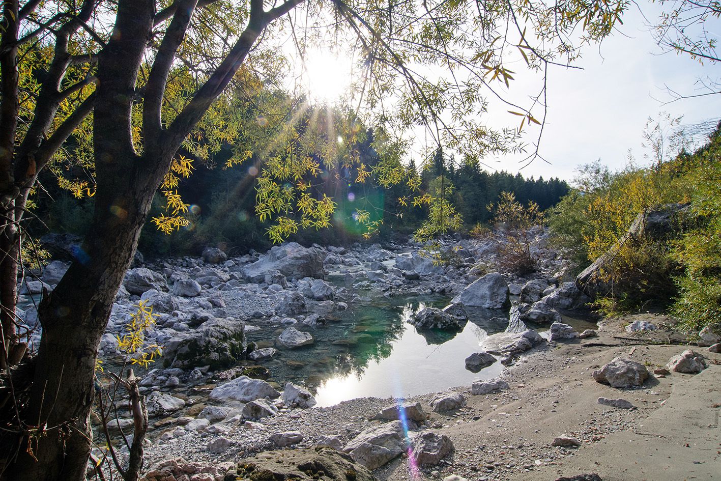
From the Oberschütt Fire Station's parking lot, you take a paved road for about 100 meters to the southwest. This leads you to a wide dirt road, with a few small dips and climbs. You gain insight into the original course of the Gail River and soon reach an old weir from 1903. Once you reach the weir, you are only 15 minutes from the destination: "Der Almwirtschaft Schütt," or "Schütt Mountain Pub" in English. This is a cozy tavern where you can enjoy Carinthian specialties.
- Highest point
- 550 m
- Endpoint
-
Oberschütt Fire Station
- Height profile
-

- Equipment
-
Hiking or athletic shoes, drinking water and rain jacket.
- Tips
-
Visit the "Almwirtschaft Schütt" and enjoy a fine "Brettljause," a hearty sampler of different Carinthian meats and cheeses.
- Additional information
- Directions
-
You can best reach the Oberschütt Fire Station parking lot by taking the A2 highway (exit "Villach-Warmbad") and then driving on the L30, Schütter Straße.
- Public transportation
- Parking
-
There are plenty of parking spots at the fire station.


- Author
-
The tour Nature Reserve Schütt is used by outdooractive.com provided.