Tour data
0.9km
863
- 890m
30hm
30hm
00:36h

- Brief description
-
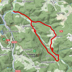
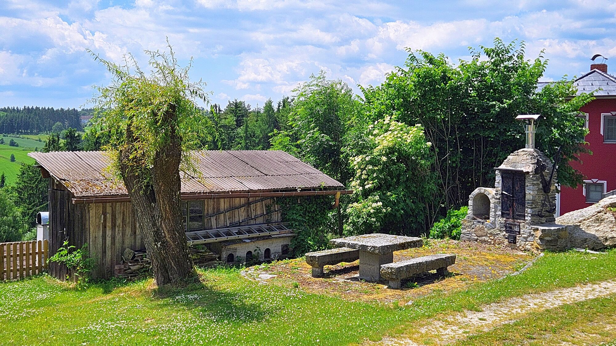
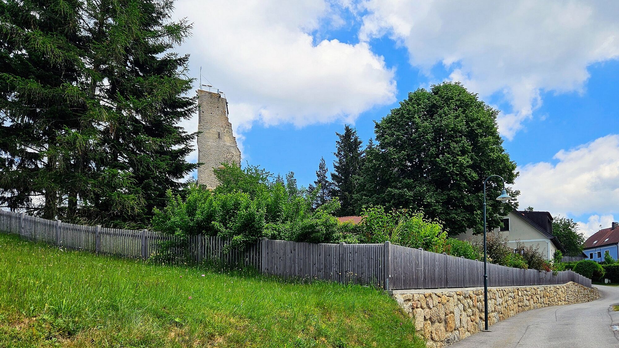
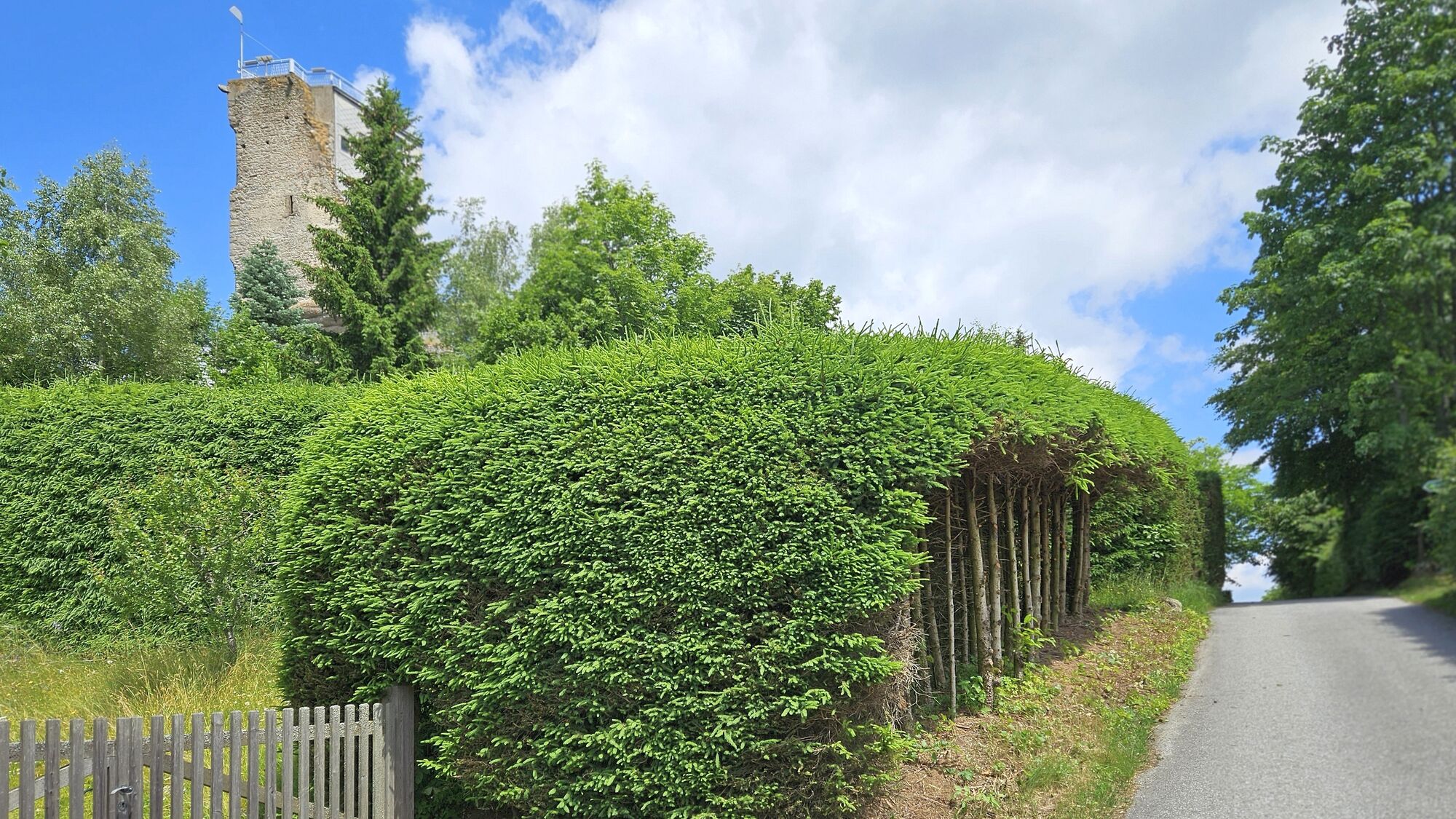
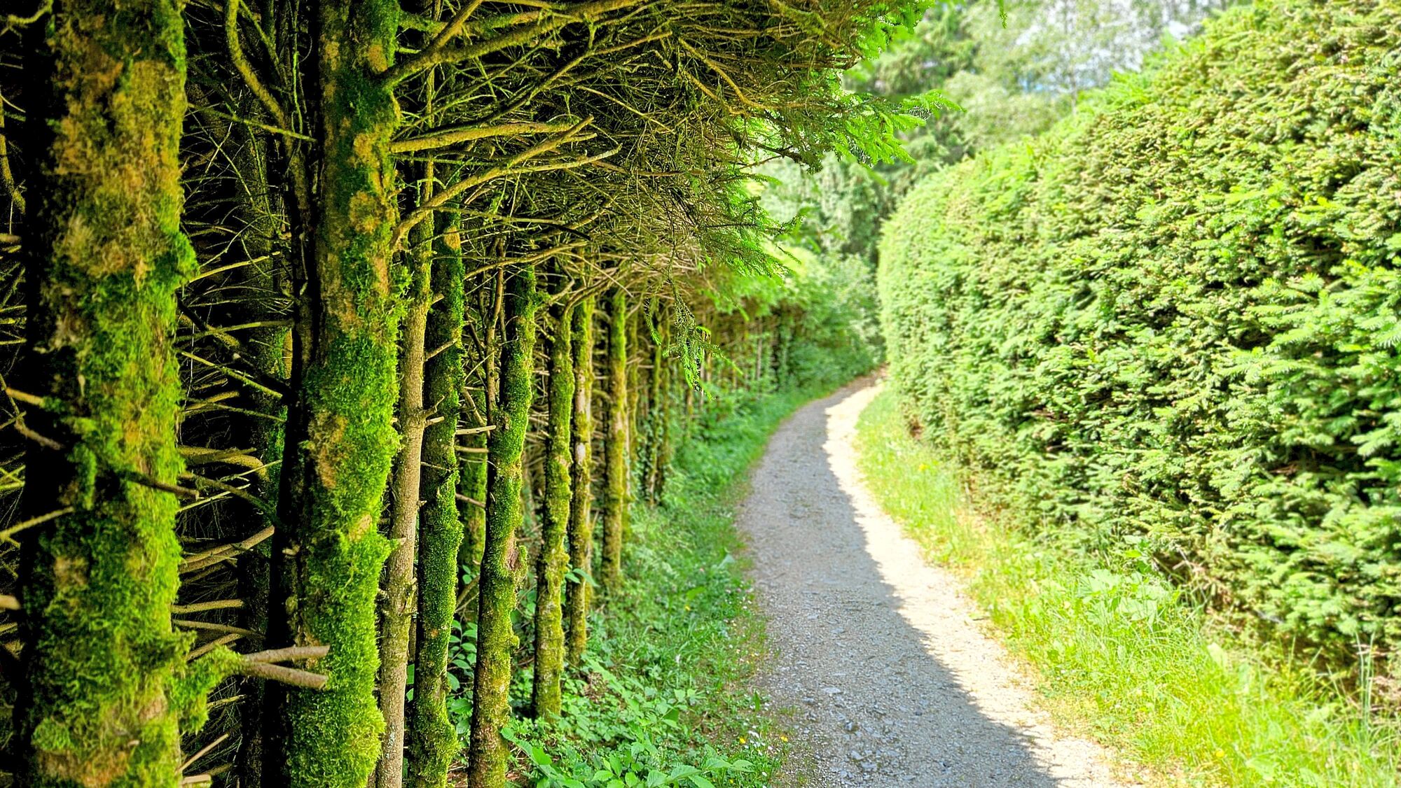
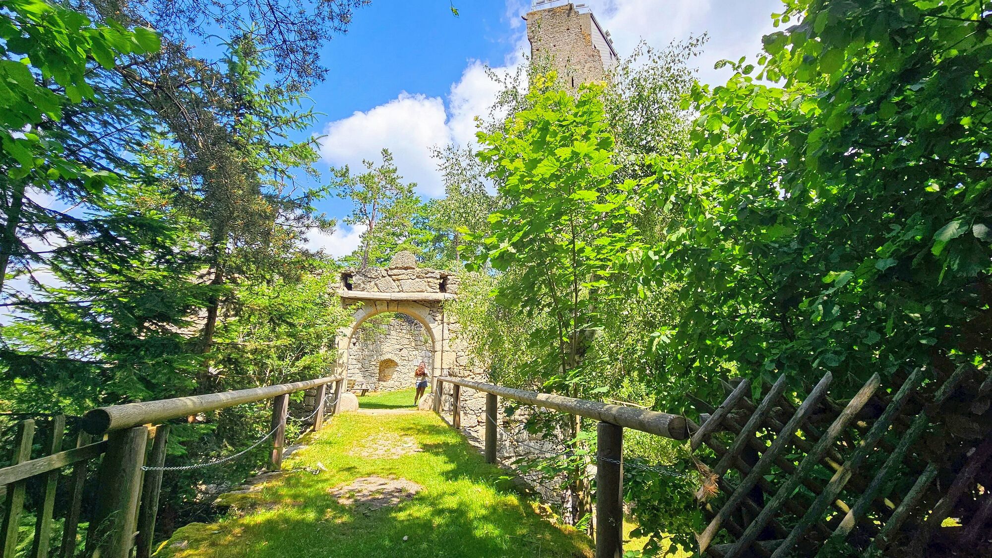
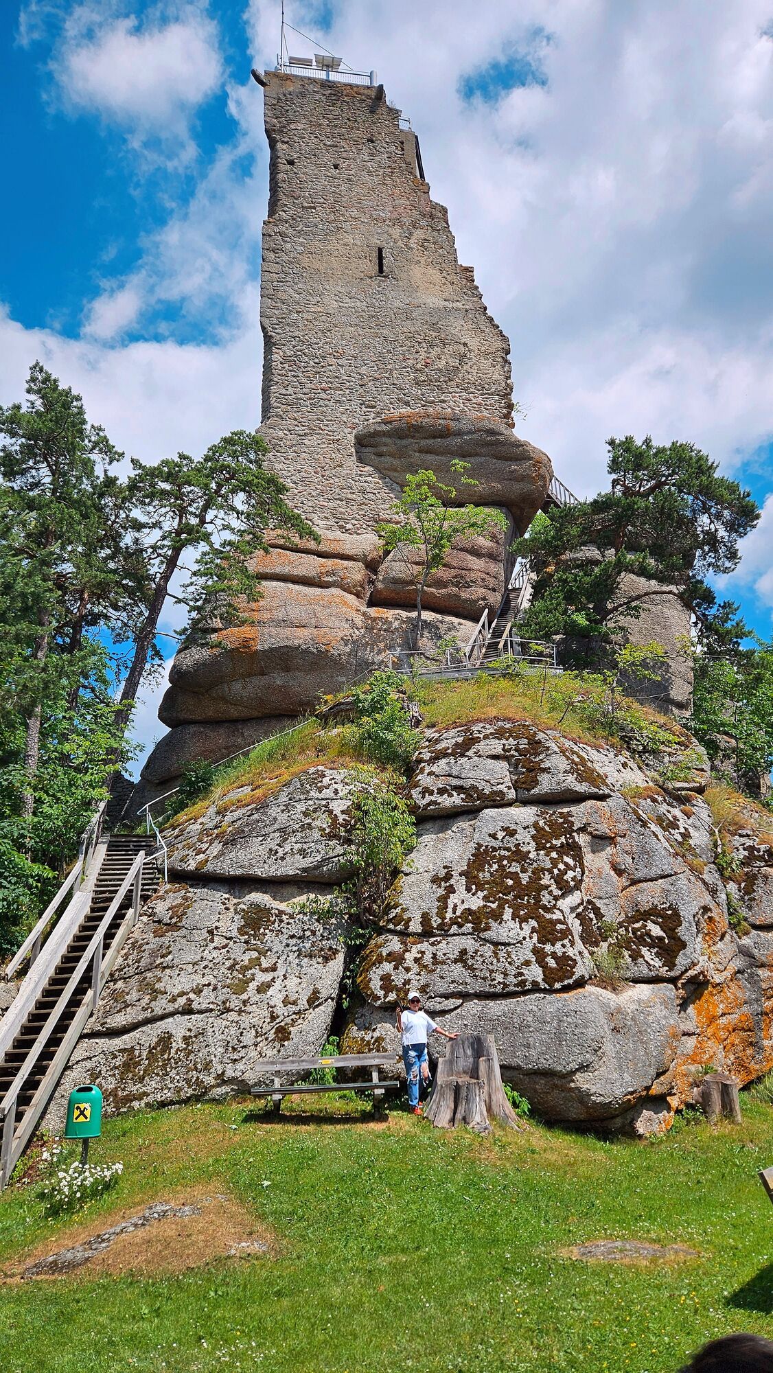
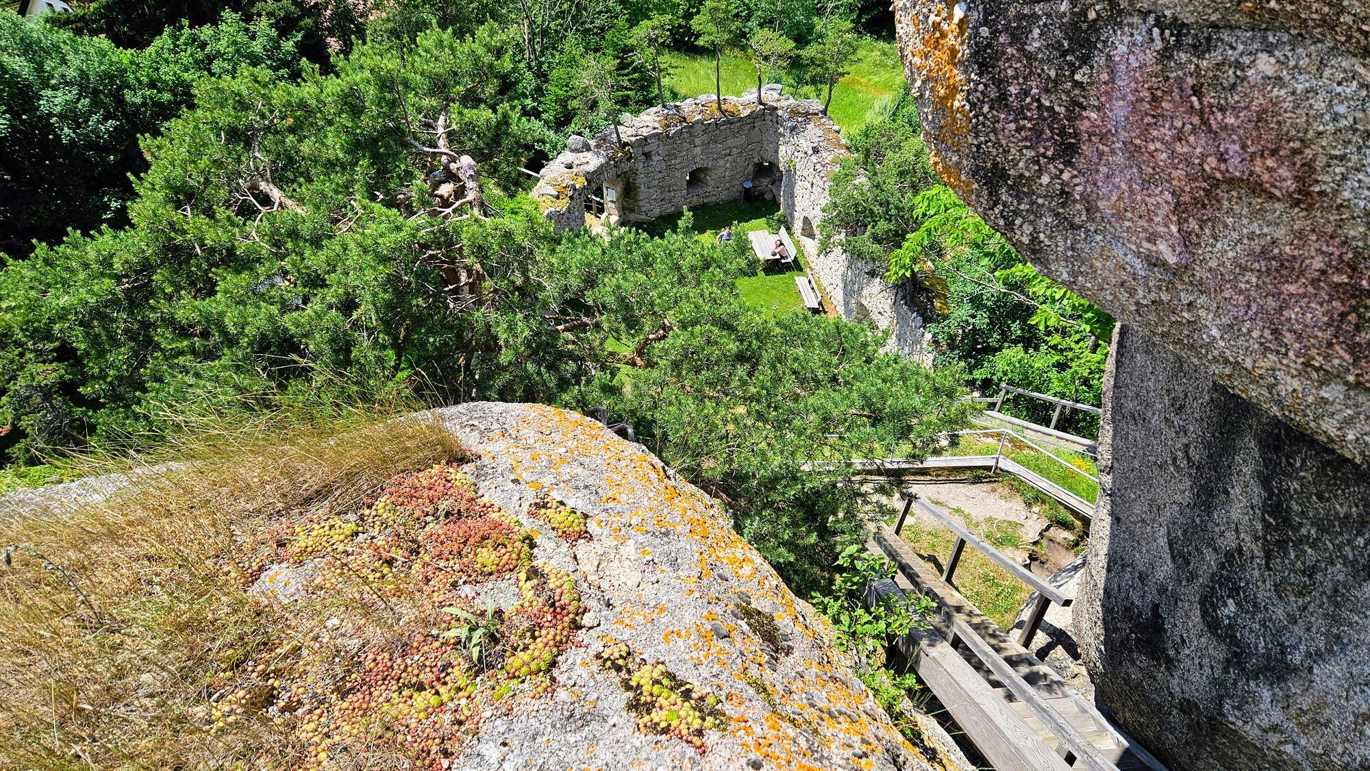
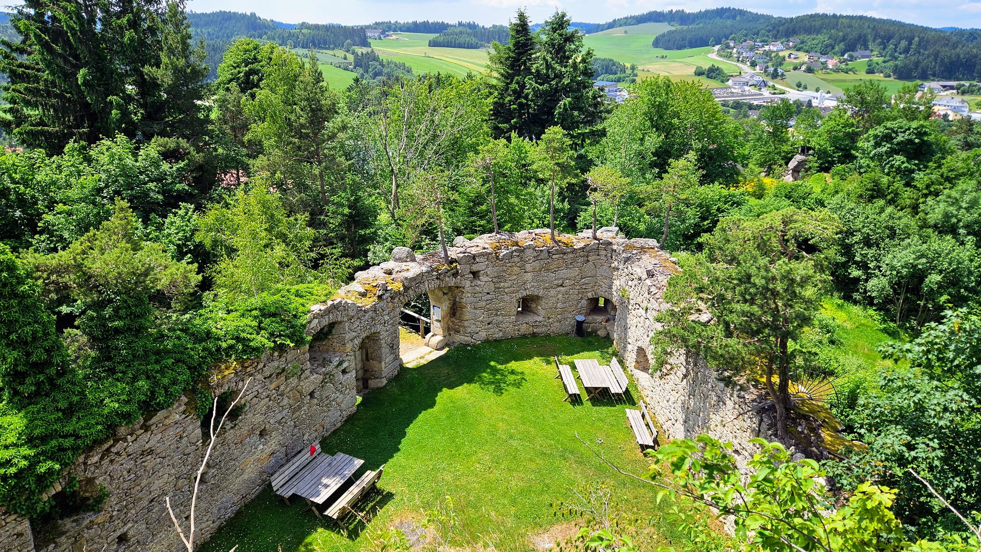
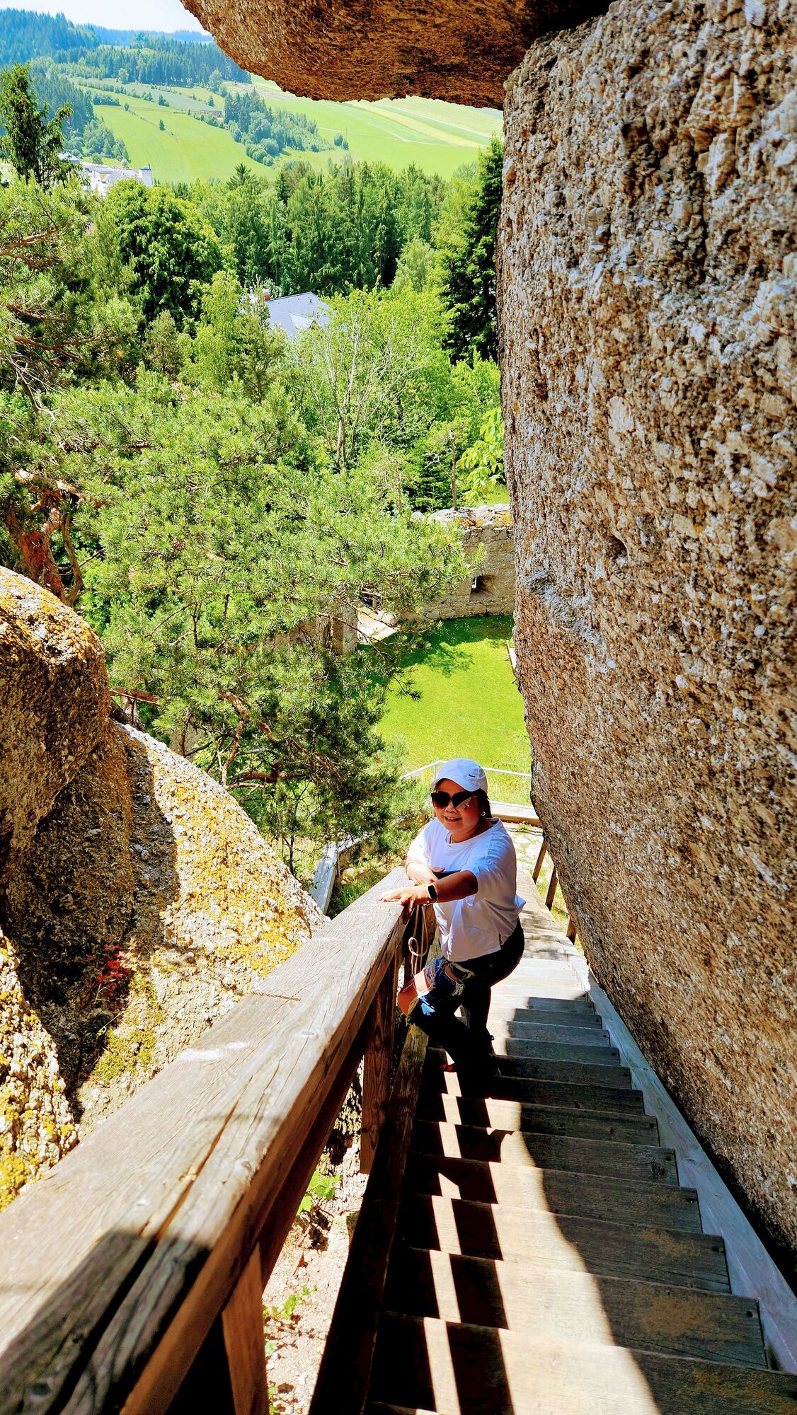
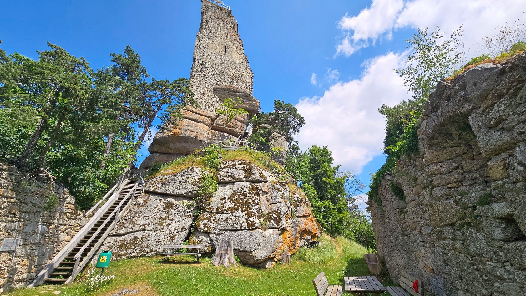
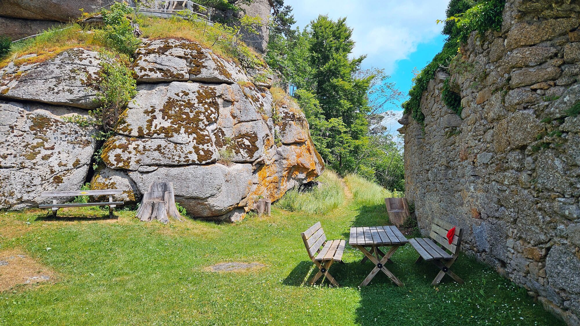
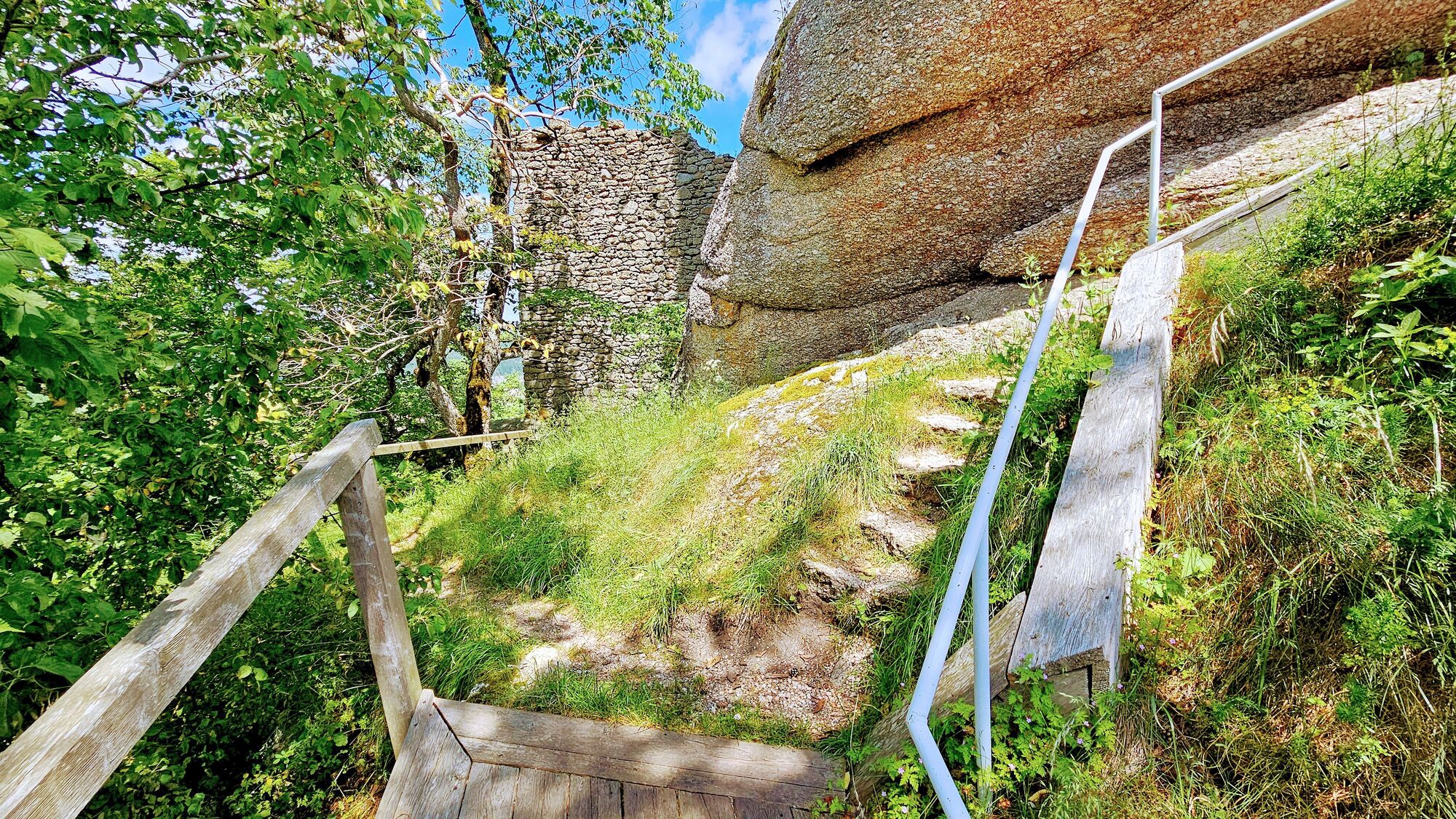
Weg zur Burgruine und Pfad um die Ruine herum
- Difficulty
-
easy
- Rating
-
- Route
-
Stockzahnkluft0.3 kmSchlossberg0.4 kmRuinenkluft0.4 kmScherbenfuge0.4 kmGemauerte Lucke0.5 kmGeldloch0.5 kmSchalensteinabri0.5 kmSchlossberg0.7 kmArbesbach0.9 km
- Highest point
- Burgruine Arbesbach (890 m)
GPS Downloads


Other tours in the regions
-
Waldviertel
1778
-
Südliches Waldviertel
937
-
Arbesbach
265