© Gemeinde Mistelbach / J. Dienbauer

- Brief description
-
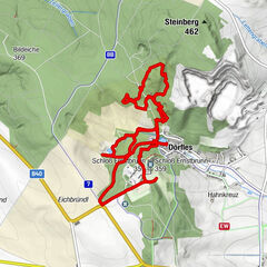
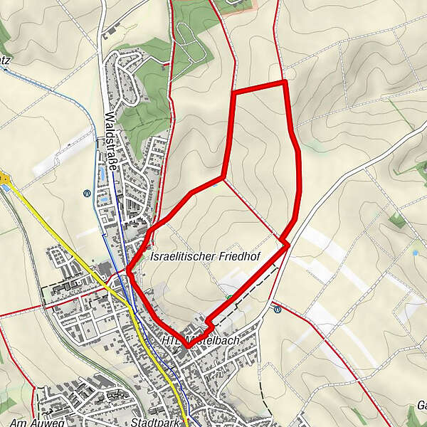
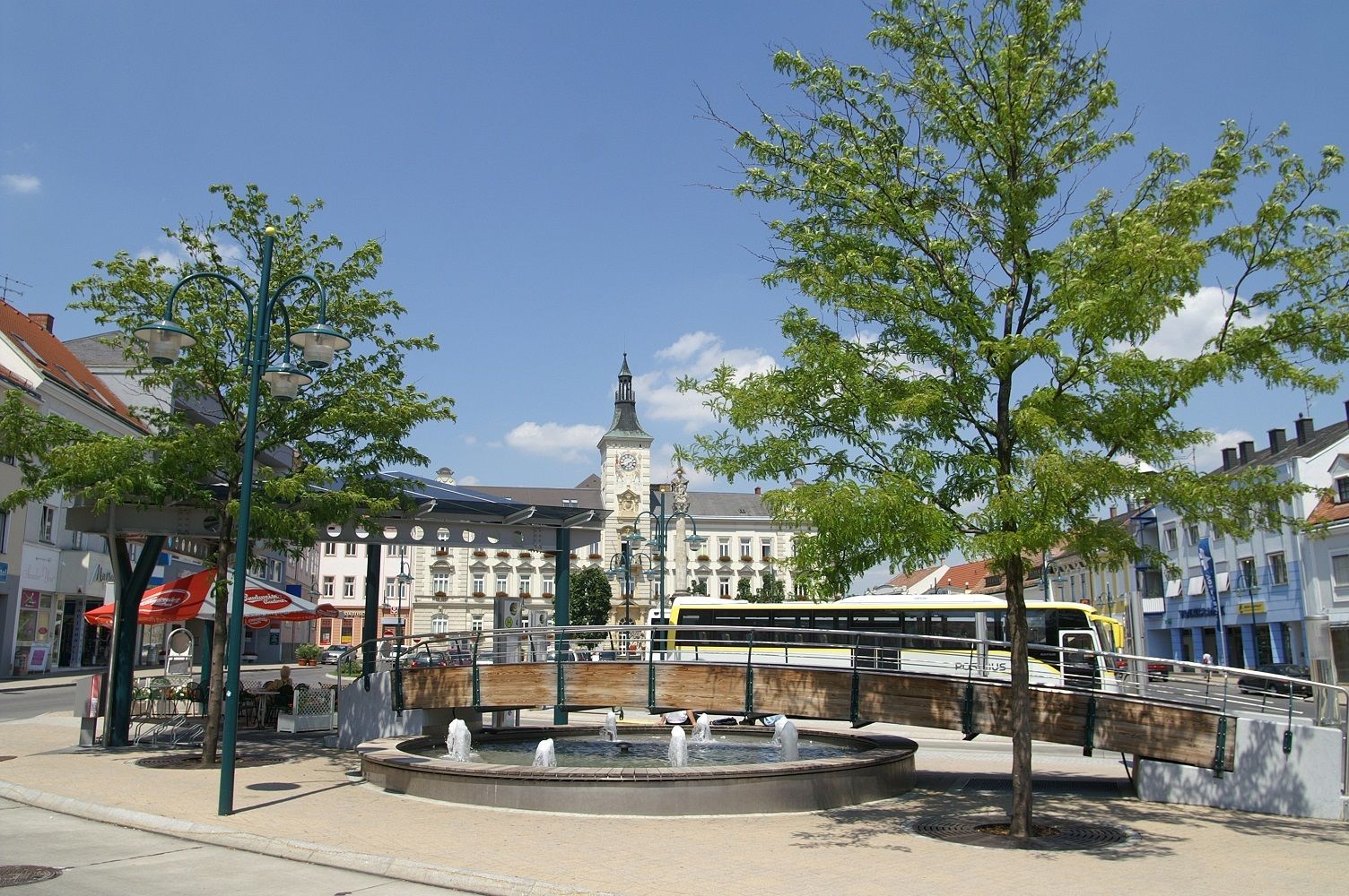
Start / Ziel: Mistelbach
- Difficulty
-
easy
- Rating
-
- Route
-
Mistelbach4.1 km
- Highest point
- 280 m
- Endpoint
-
Mistelbach, Waisenhausberg
- Height profile
-

- Author
-
The tour »tut gut« Wanderweg Mistelbach | Route 1 is used by outdooractive.com provided.
GPS Downloads


General info
Refreshment stop
Flora
A lot of view
Other tours in the regions
-
Weinviertel
944
-
Leiser Berge
377
-
Mistelbach
50