Tour data
16.77km
243
- 524m
343hm
420hm
04:11h
- Brief description
-
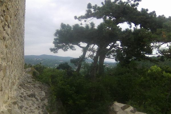
Panoramaweg Troppberg durch den Biosphärenpark Wienerwald.
Start Bahnhof Rekawinkel, am Ende Abstecher Gasthaus Hochramalpe, Ende Bahnhof Punkersdorf. - Difficulty
-
easy
- Rating
-
- Starting point
-
Bahnhof Rekawinkel
- Route
-
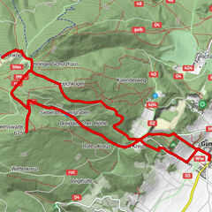
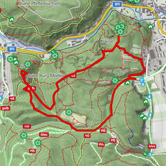
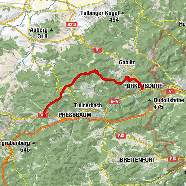
RekawinkelGroßer Stiefelberg (497 m)2.2 kmKleiner Stiefelberg (461 m)3.1 kmRauchengern4.1 kmHinterer Steinberg (442 m)4.8 kmHeinratsberg (513 m)6.1 kmRieger Wienerwaldhof (472 m)6.5 kmTroppberg (542 m)9.1 kmBuchberg (440 m)11.9 kmHochram (459 m)12.7 kmHochramalpe (372 m)13.4 kmHochramalpe14.0 kmSüßfeld15.7 kmPurkersdorf (248 m)16.4 kmPfarrkirche Sankt Jakob16.5 km
- Highest point
- 524 m
- Endpoint
-
Bahnhof Purkersdorf Zentrum
- Rest/Retreat
-
6,8 km - Wienerwaldhof Rieger
13,6 km - Hochramalpe
GPS Downloads


Other tours in the regions
-
Wienerwald
4250
-
Kamptal - Wagram - Tullner Donauraum
1499
-
Tullnerbach
895