Tour data
1.5km
186
- 189m
-
00:30h
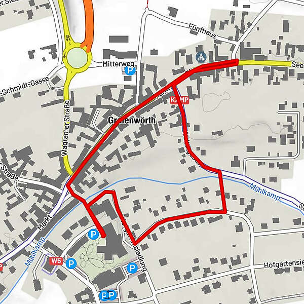
- Brief description
-
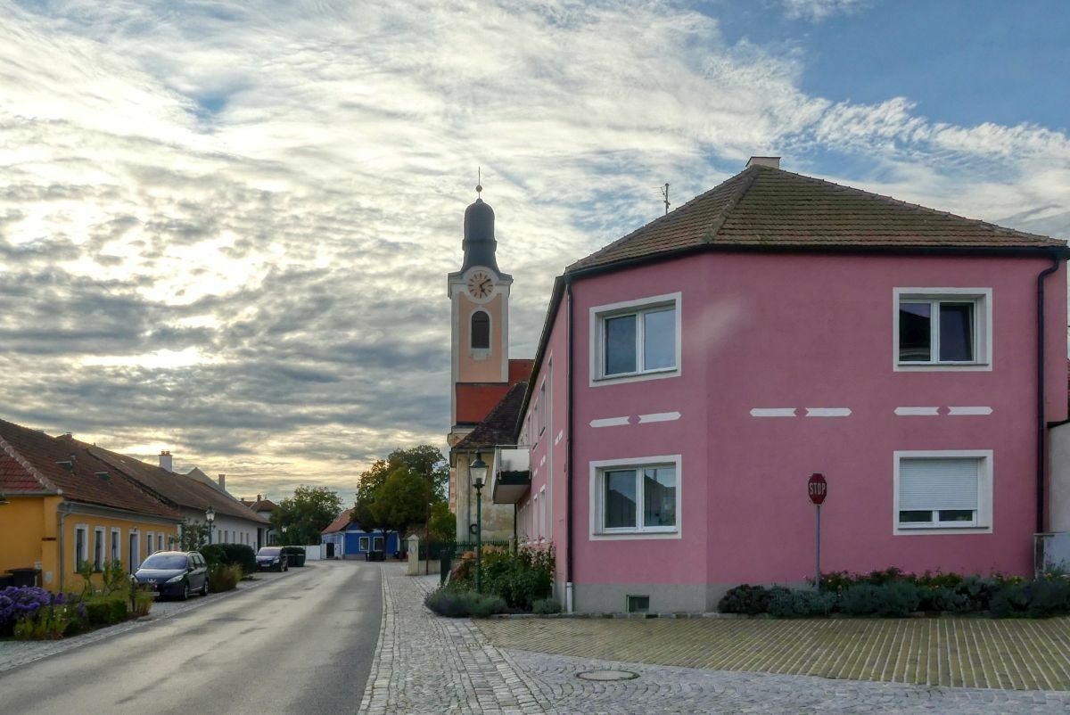
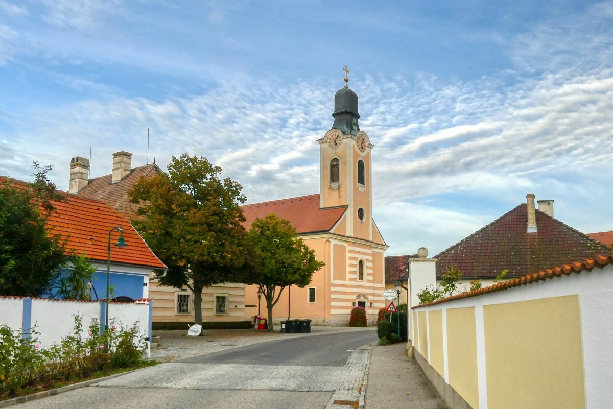
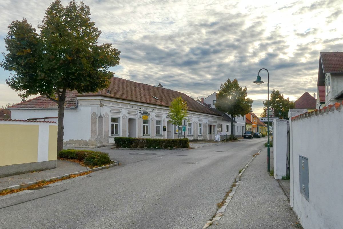
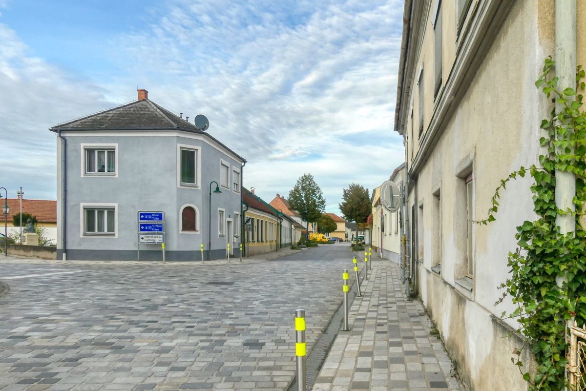
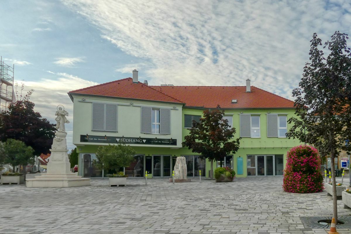
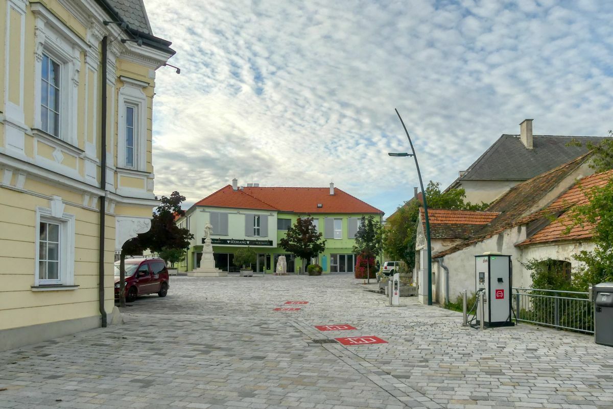
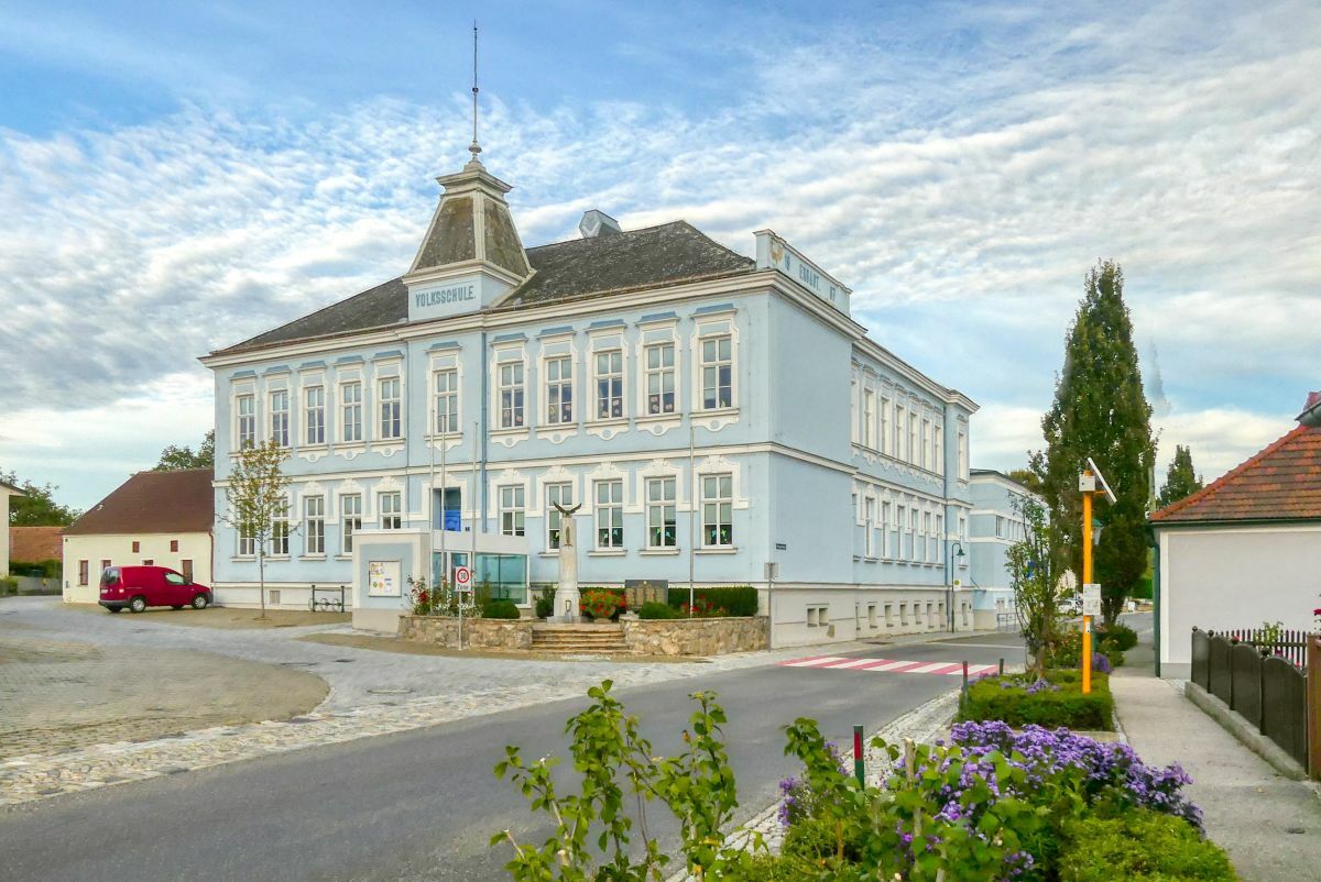
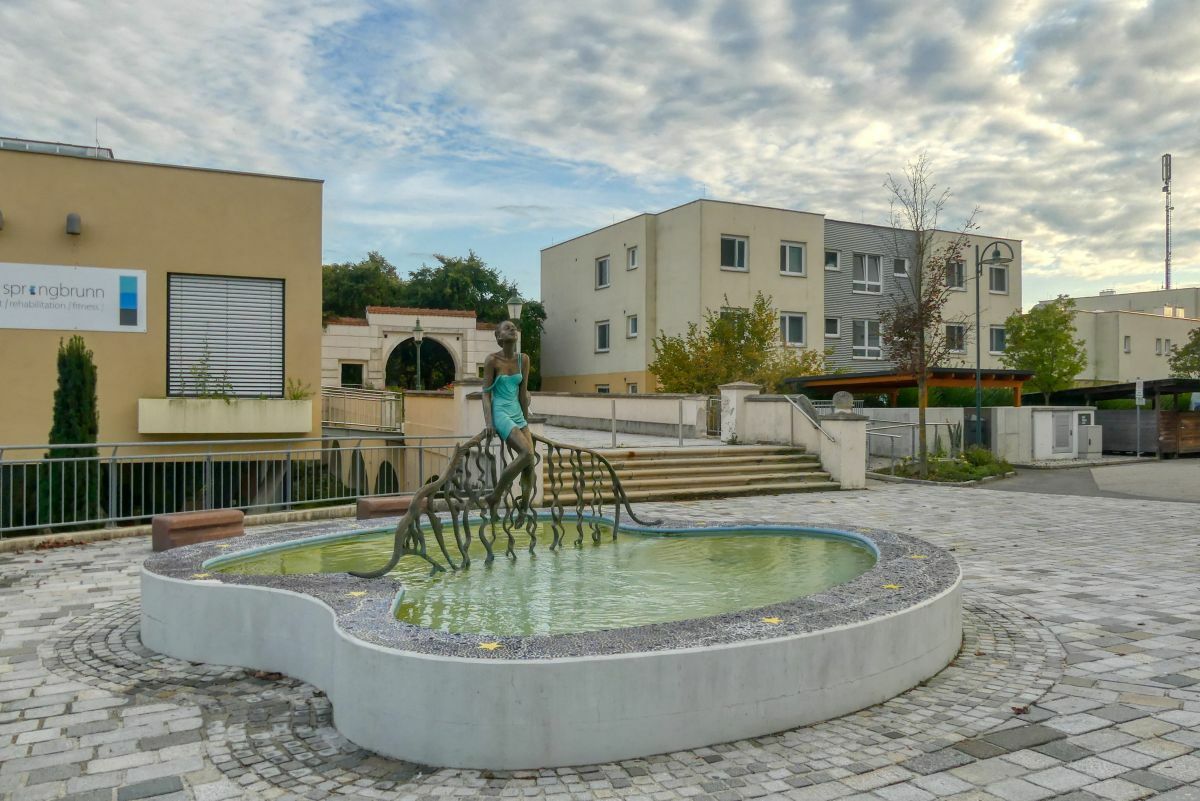
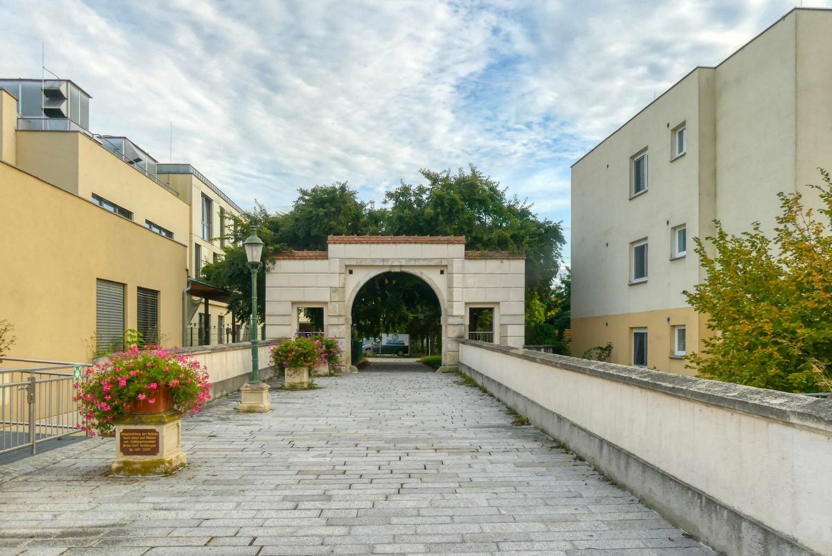
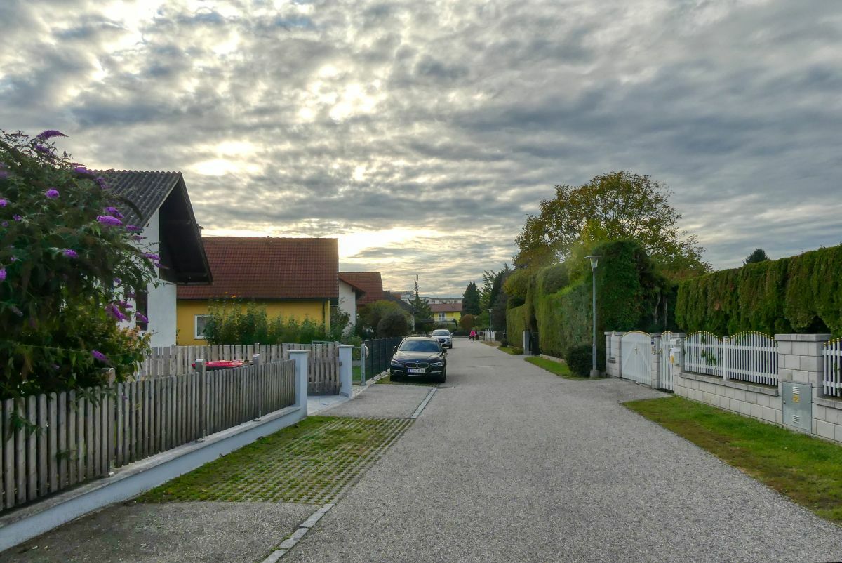
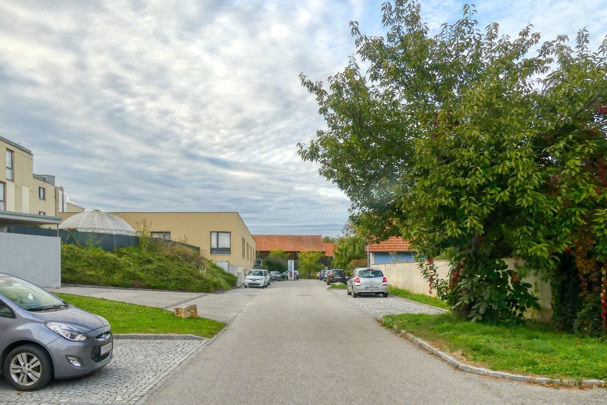
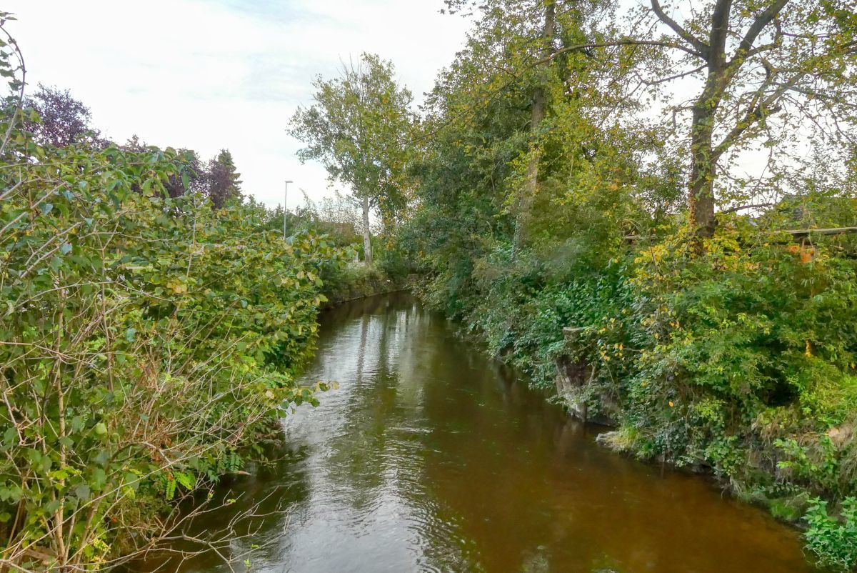
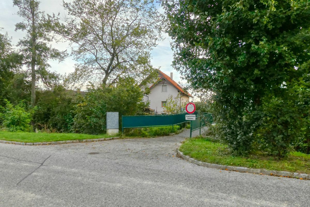
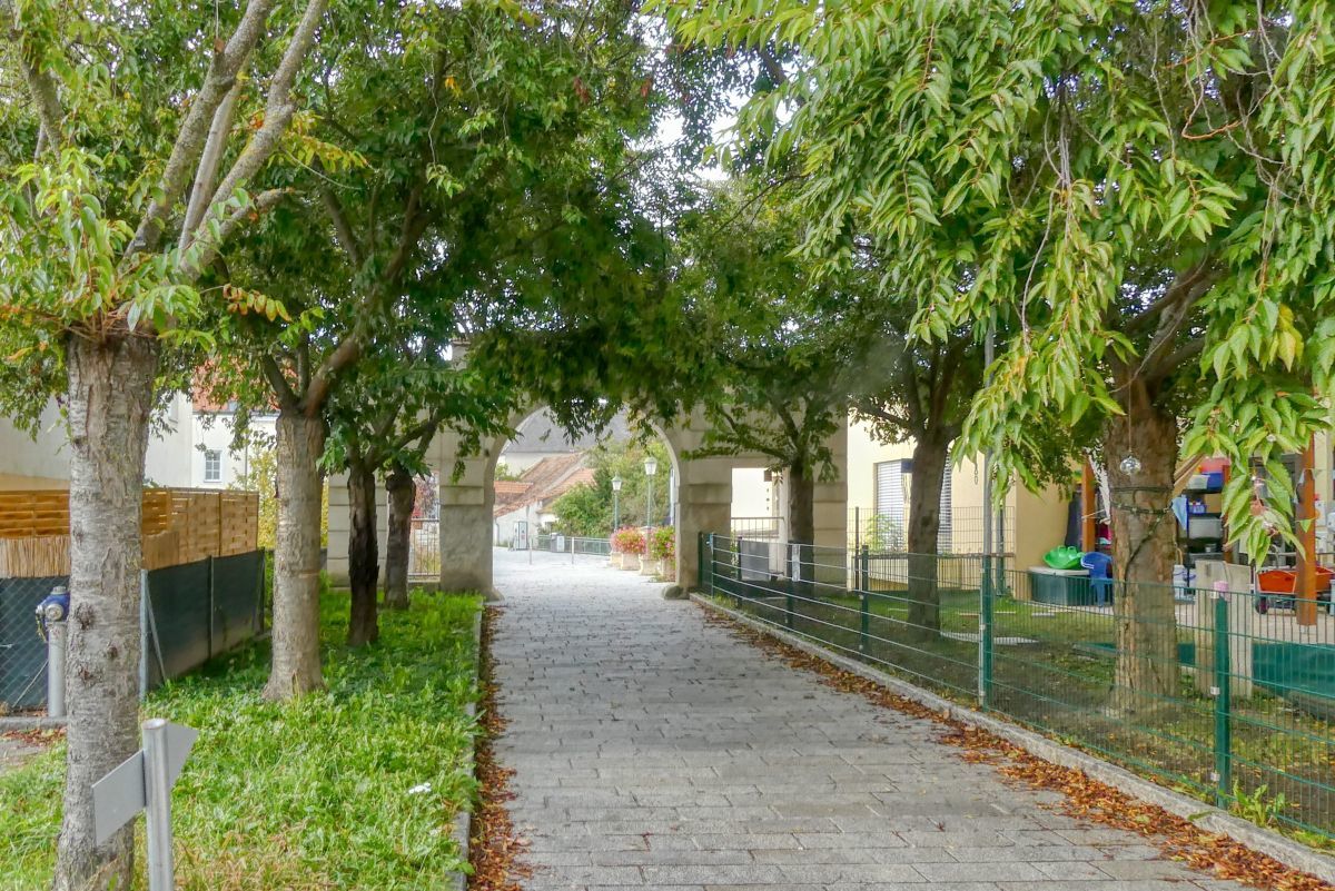
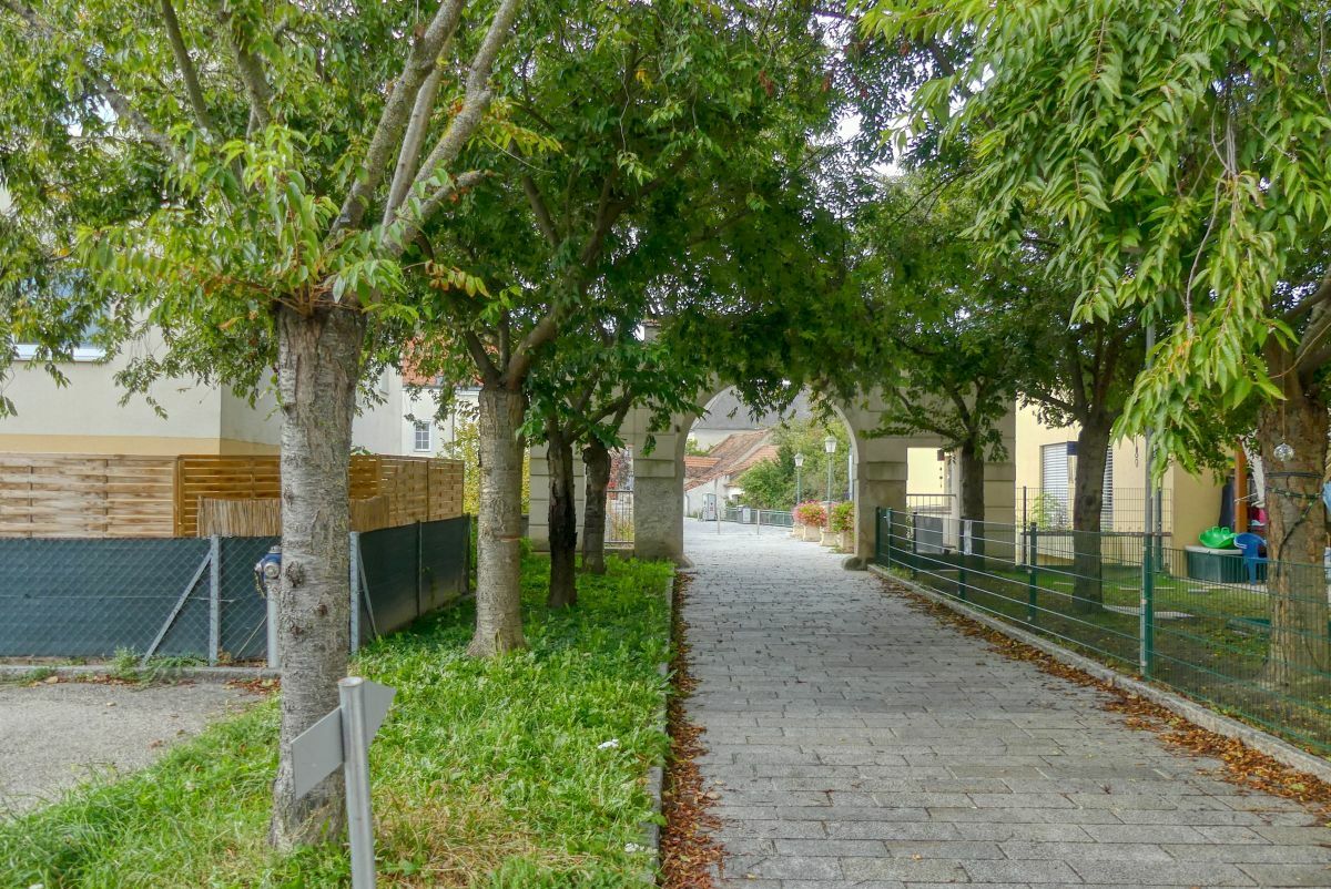
Eine halbstündige Runde durch das Zentrum von Grafenwörth.
- Difficulty
-
easy
- Rating
-
- Starting point
-
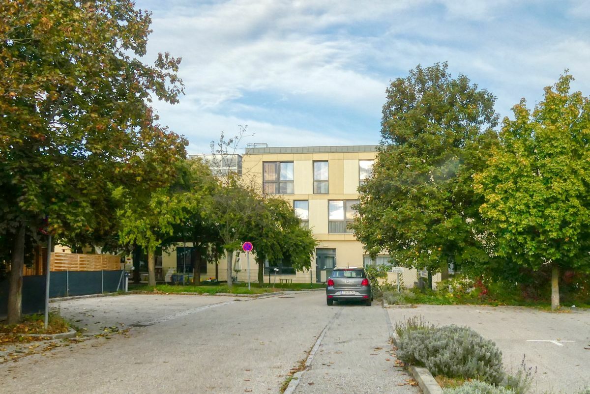
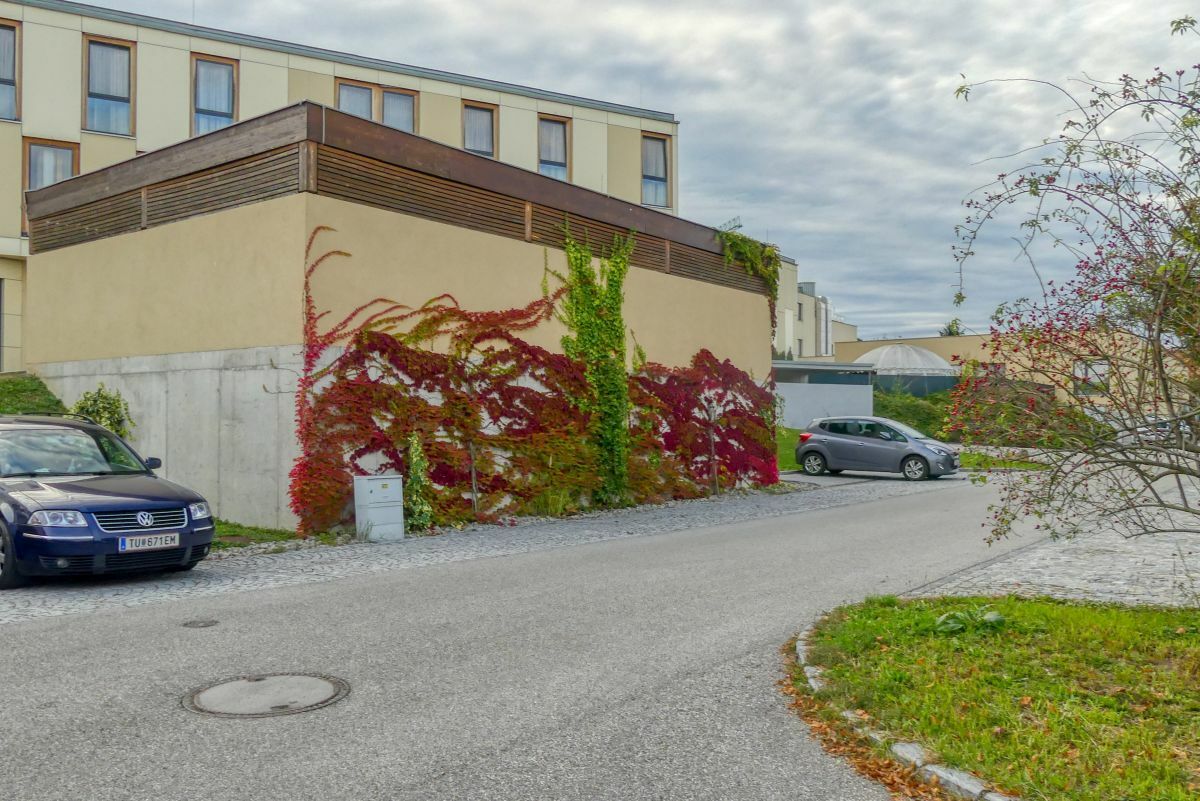
Bewohnerparkplatz SeneCura Sozialzentrum
- Route
-
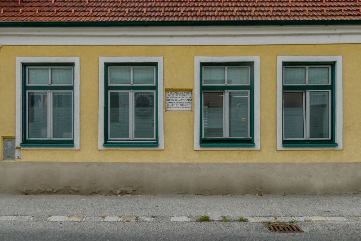
Heuriger Ott0.2 kmGrafenwörth0.3 kmPfarrkirche hl. Andreas0.4 km
- Best season
-
JanFebMarAprMayJunJulAugSepOctNovDec
- Highest point
- 189 m
- Endpoint
-
Bewohnerparkplatz SeneCura Sozialzentrum

- Source
- Weinbergwandern.at
GPS Downloads


Trail conditions
Asphalt
Gravel
Meadow
Forest
Rock
Exposed
Other tours in the regions
-
Donau Niederösterreich
2290
-
Traisental - Donauland
1199
-
Grafenwörth
275