
- Brief description
-
An easy circuit around Garsten and Steyr.
- Difficulty
-
medium
- Rating
-
- Starting point
-
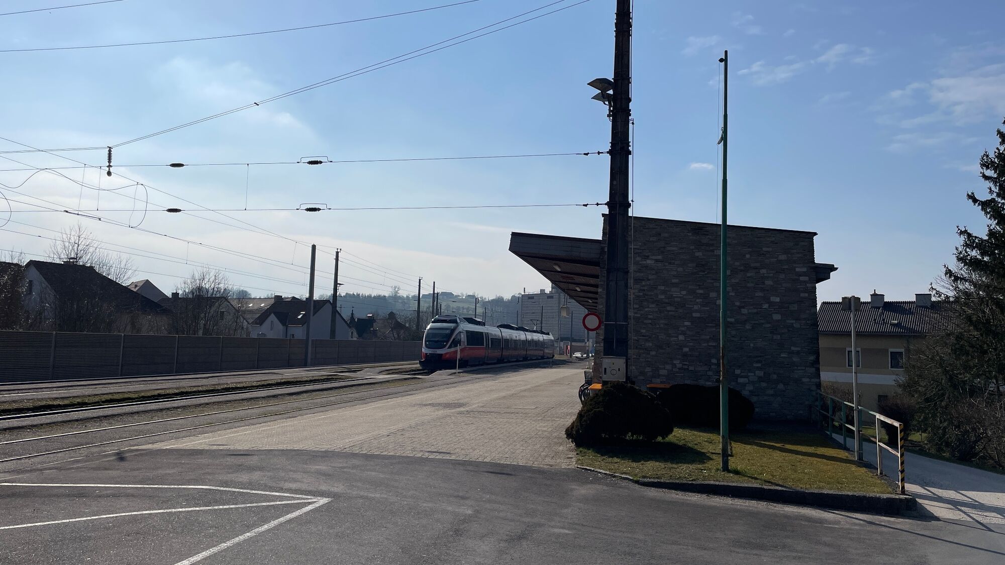
Garsten railway station
- Route
-
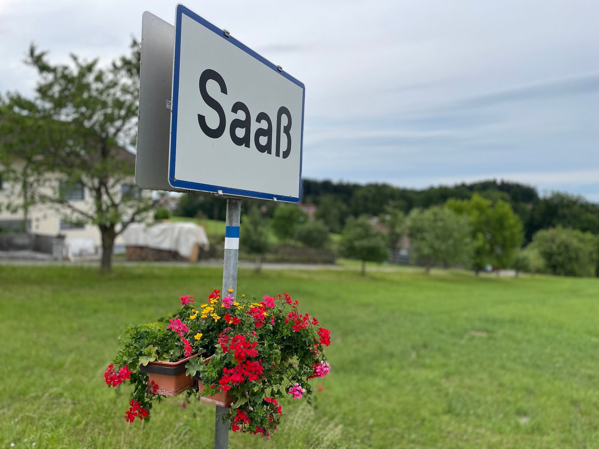
Steyr (310 m)BuchholzGarsten0.0 kmPizzaria La Fontana0.3 kmGarsten0.3 kmWirt am Platzl0.3 kmGorfer Natur Gourmet3.7 kmSaaß4.8 kmGH Kaiser in der Saaß4.9 kmSchwaming8.5 kmChristkindlsiedlung15.2 kmTeufelsbachfall15.6 kmEisenfeld15.6 kmTeufelsbach-Halbhöhle15.8 kmTeufelsbachstollen15.8 kmSteyr (310 m)15.9 kmGarsten Nord16.7 kmReichenschwall17.0 kmPyrach17.3 kmSarning17.8 kmKraxental18.0 kmBuchholz18.2 kmGarsten18.9 km
- Best season
-
JanFebMarAprMayJunJulAugSepOctNovDec
- Description
-
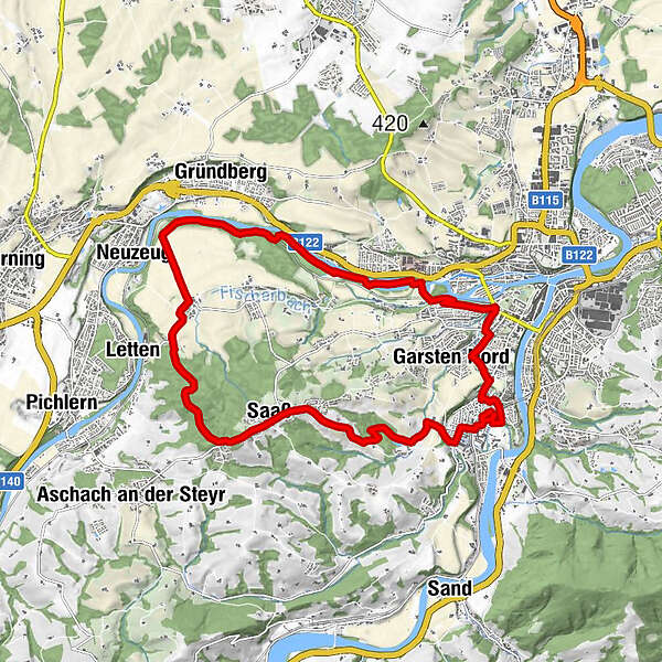
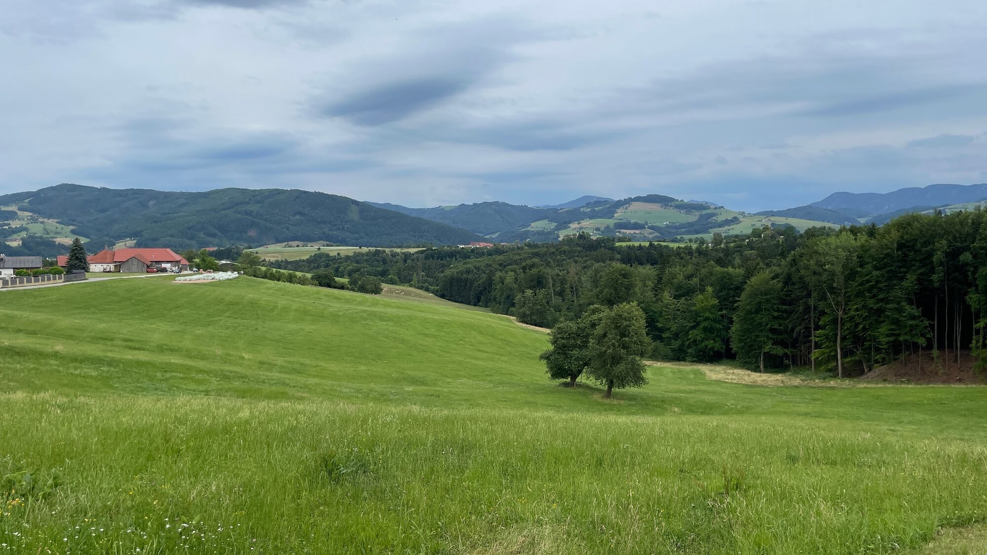
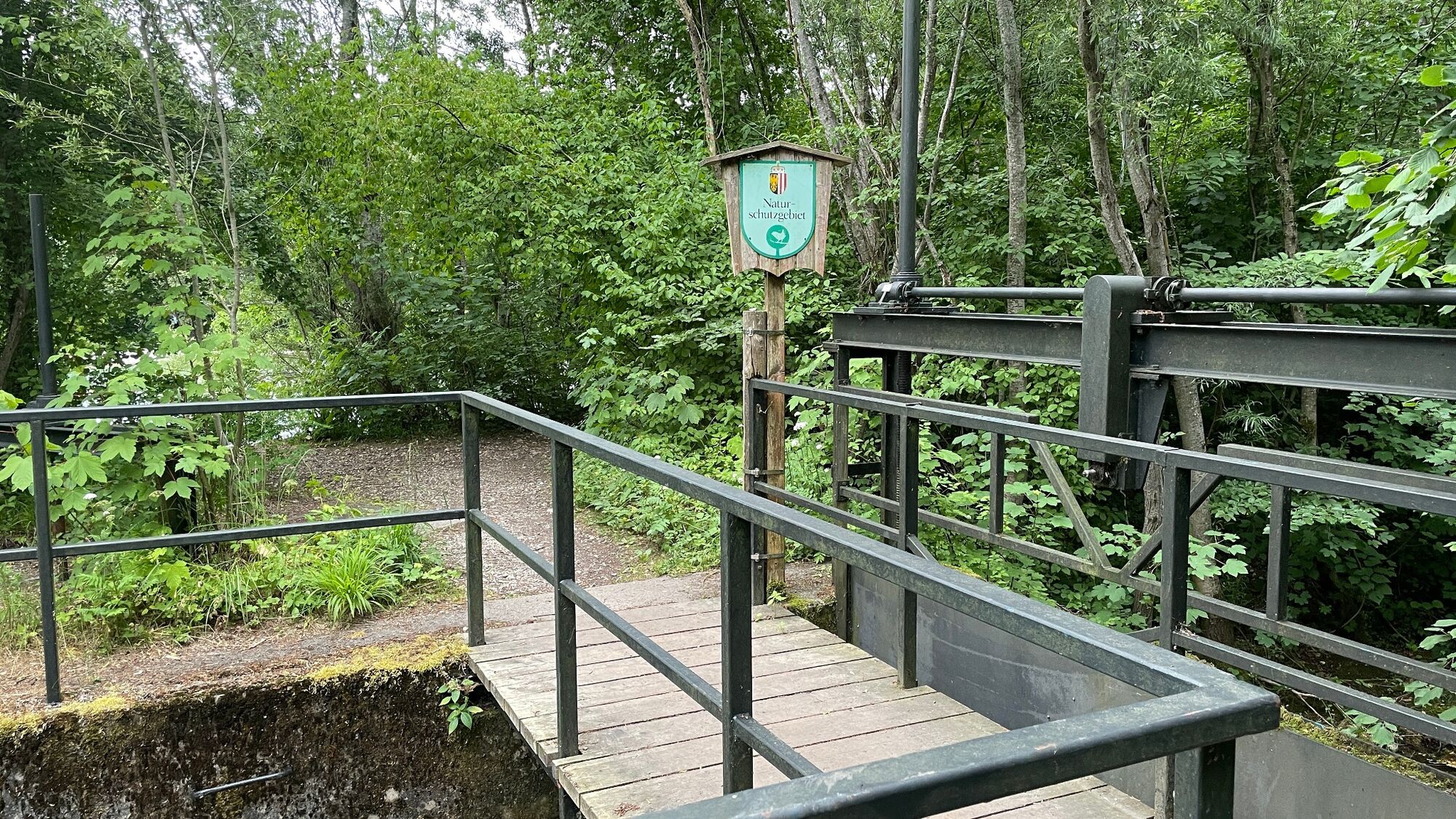
This circular route takes us from Garsten railway station via the Saaß to the Himmlitzer nature reserve in Steyr and back to Garsten. The route covers around 18 kilometres and almost 200 km.
- Directions
-
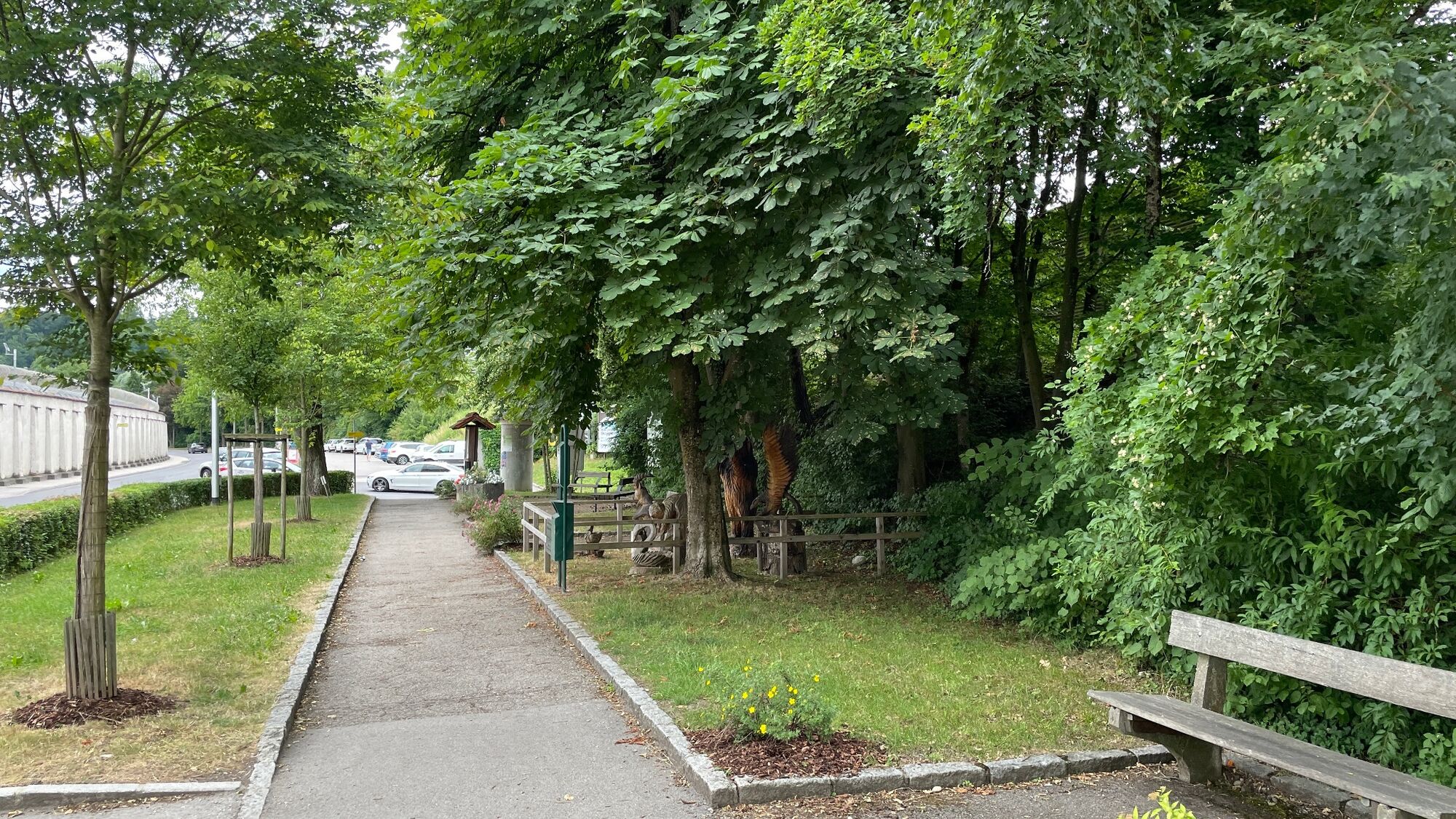
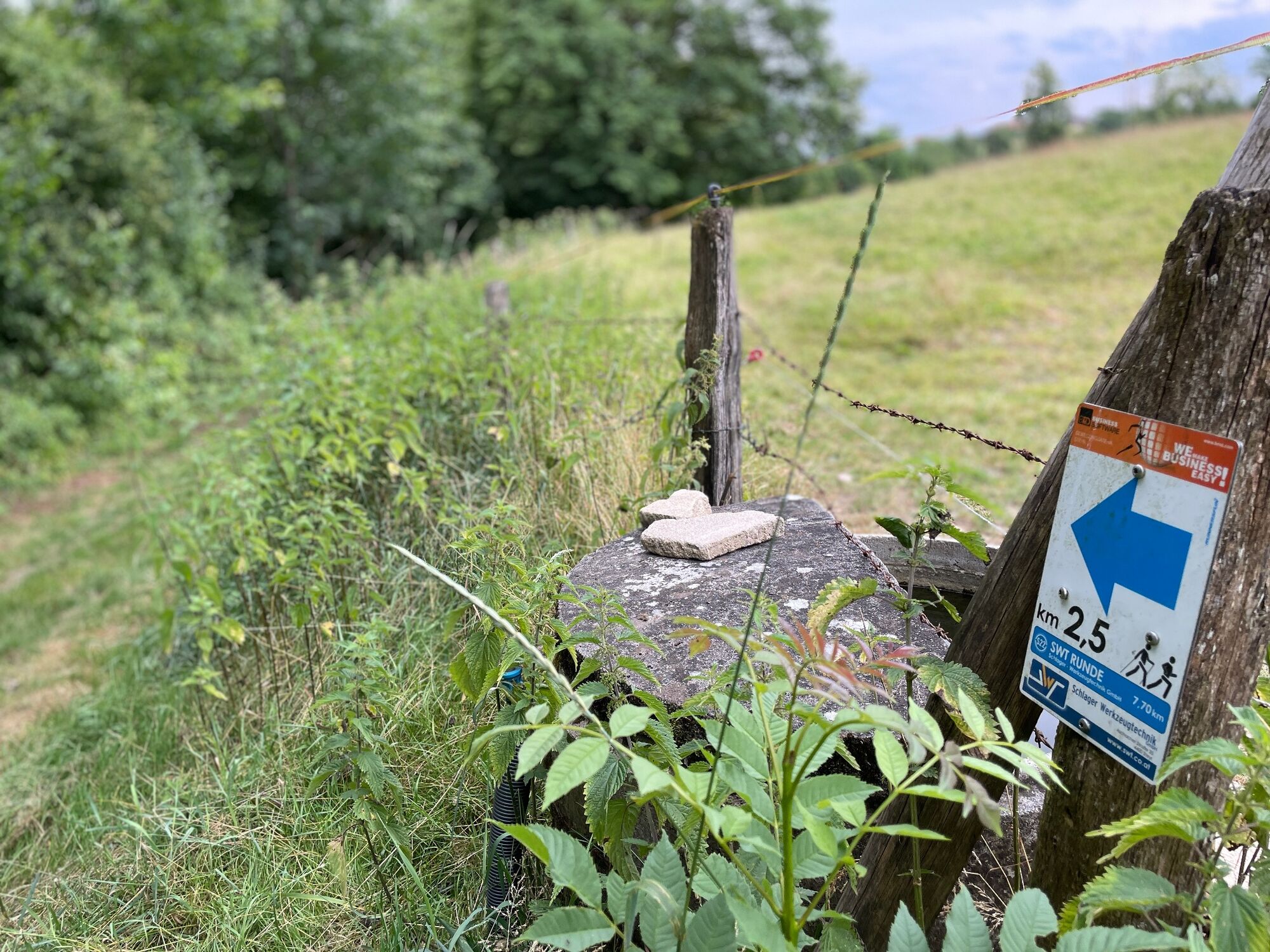
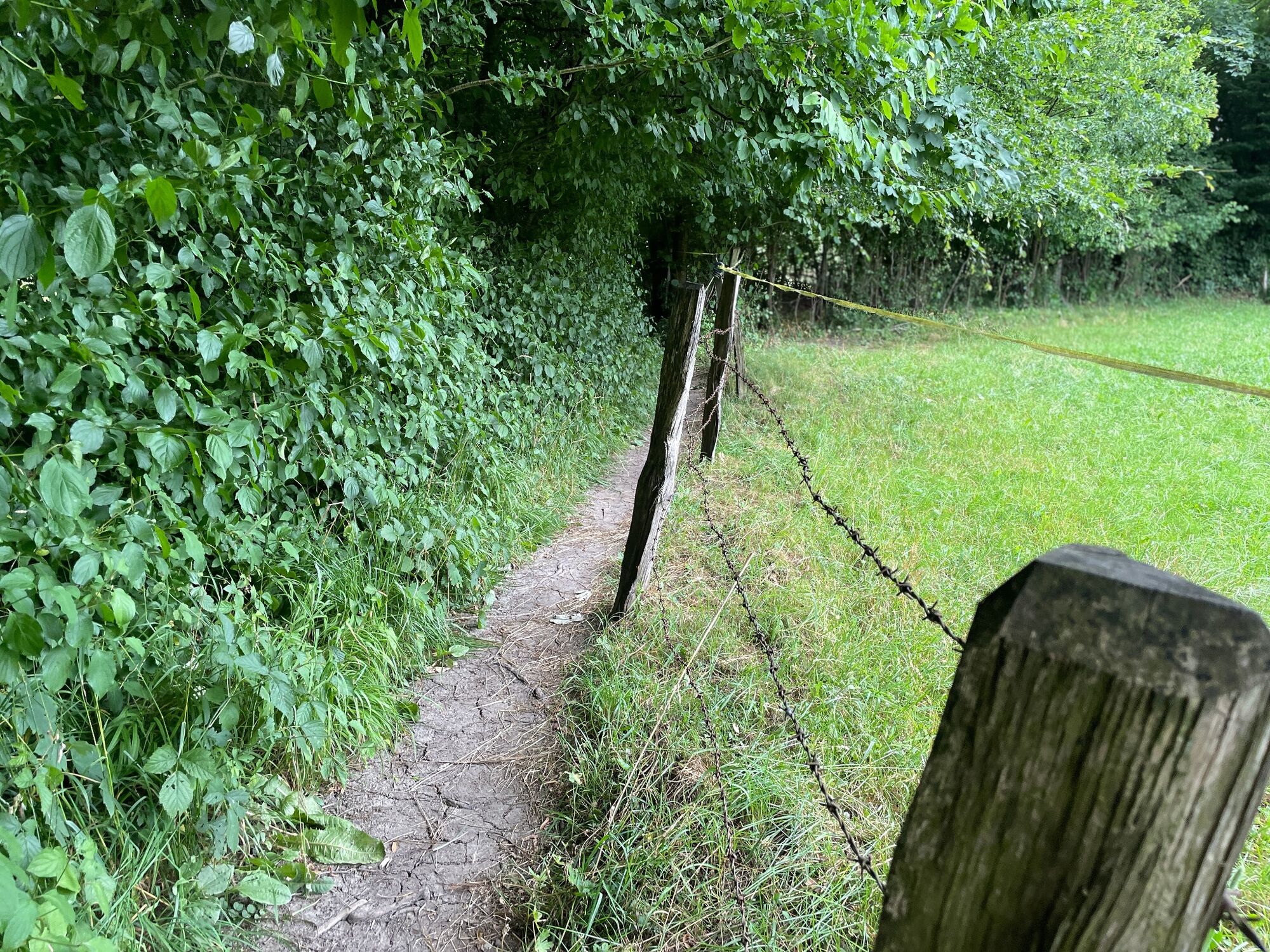
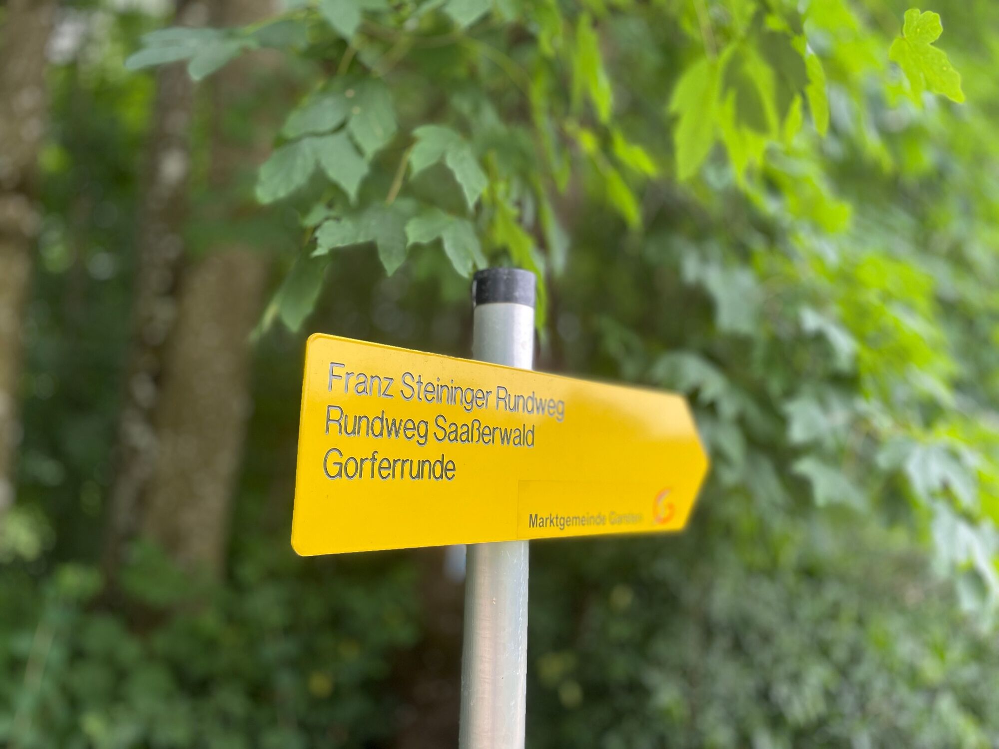
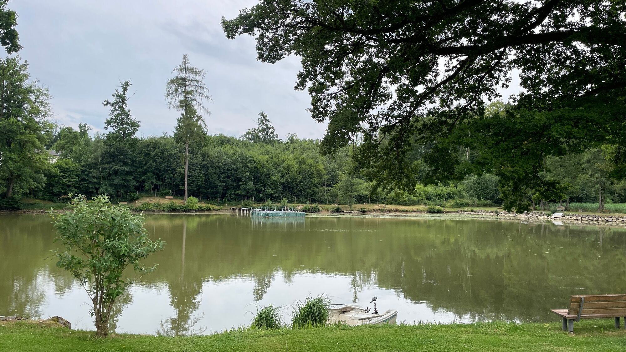
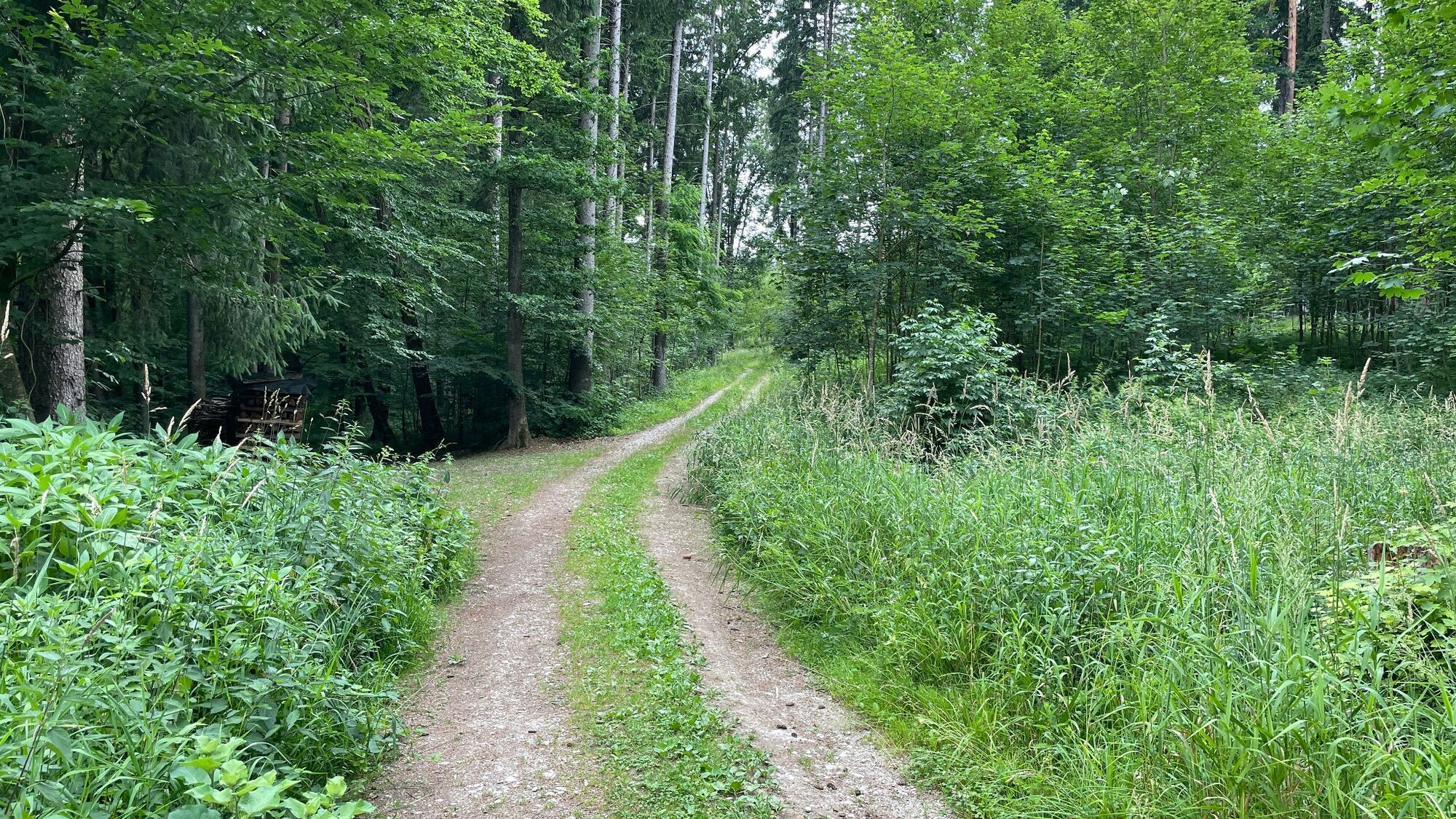
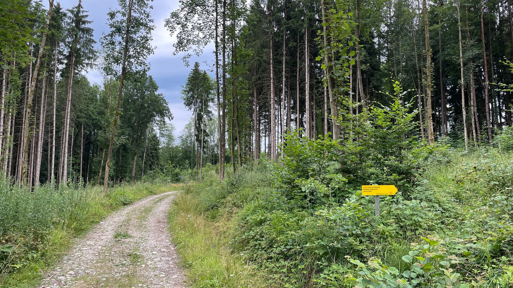
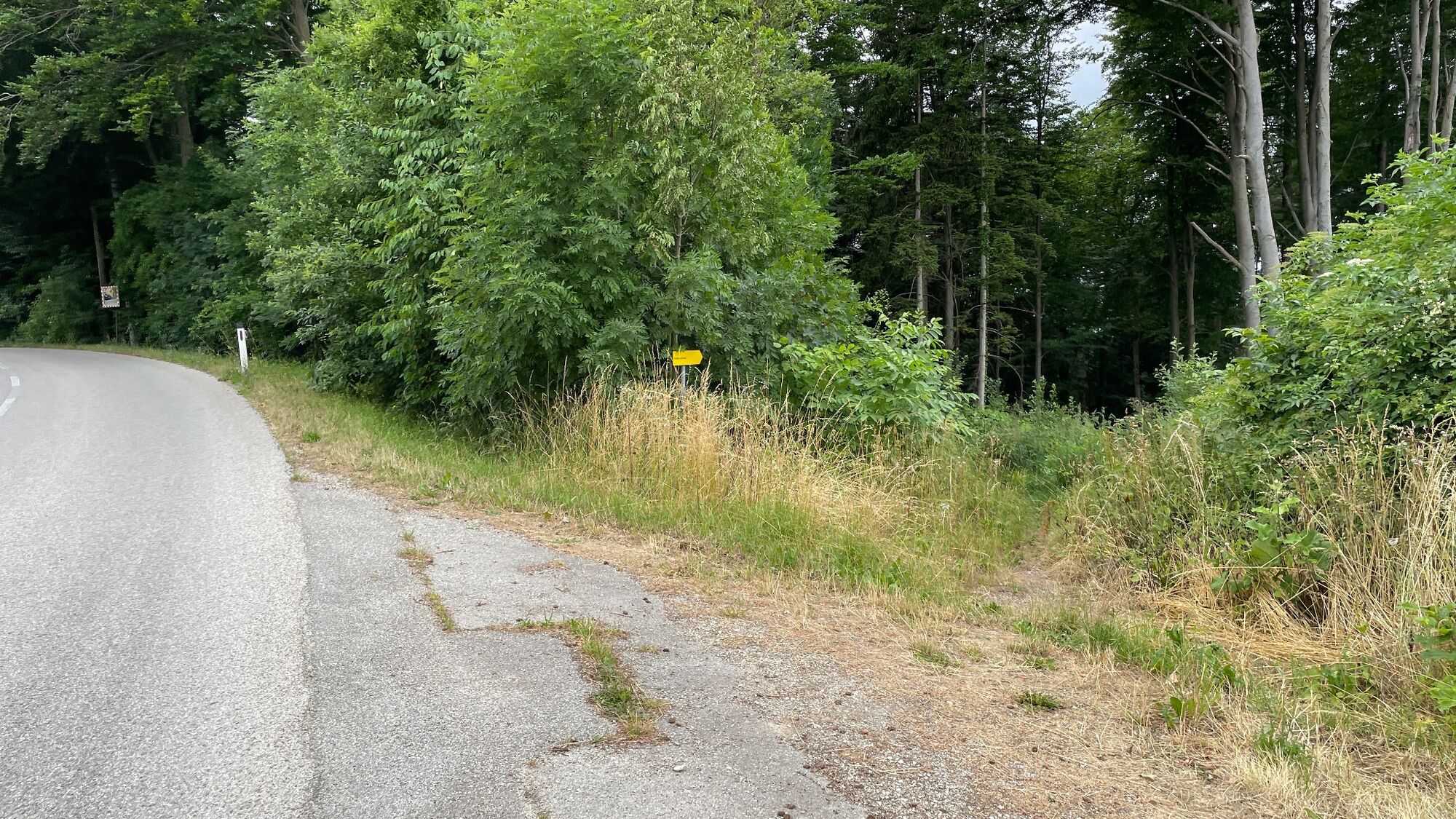
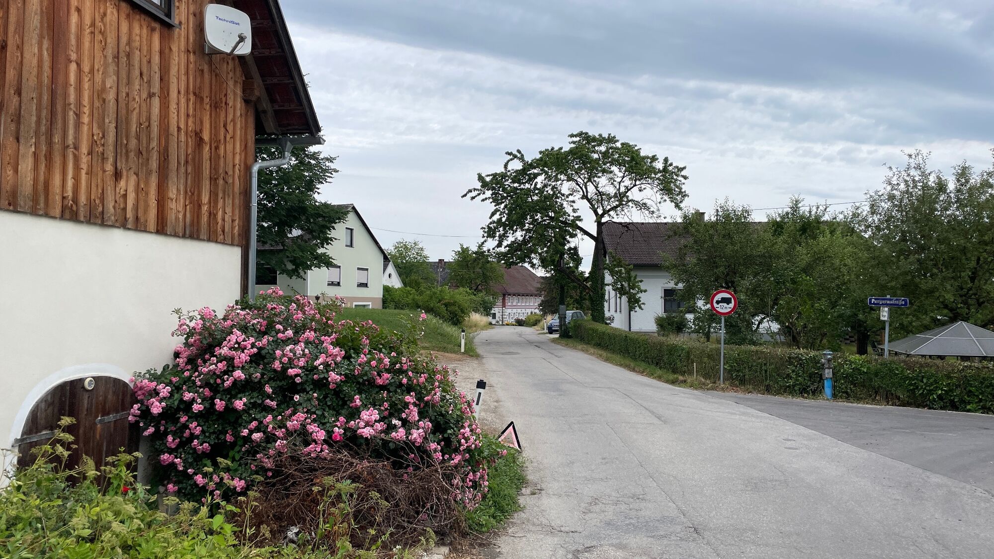
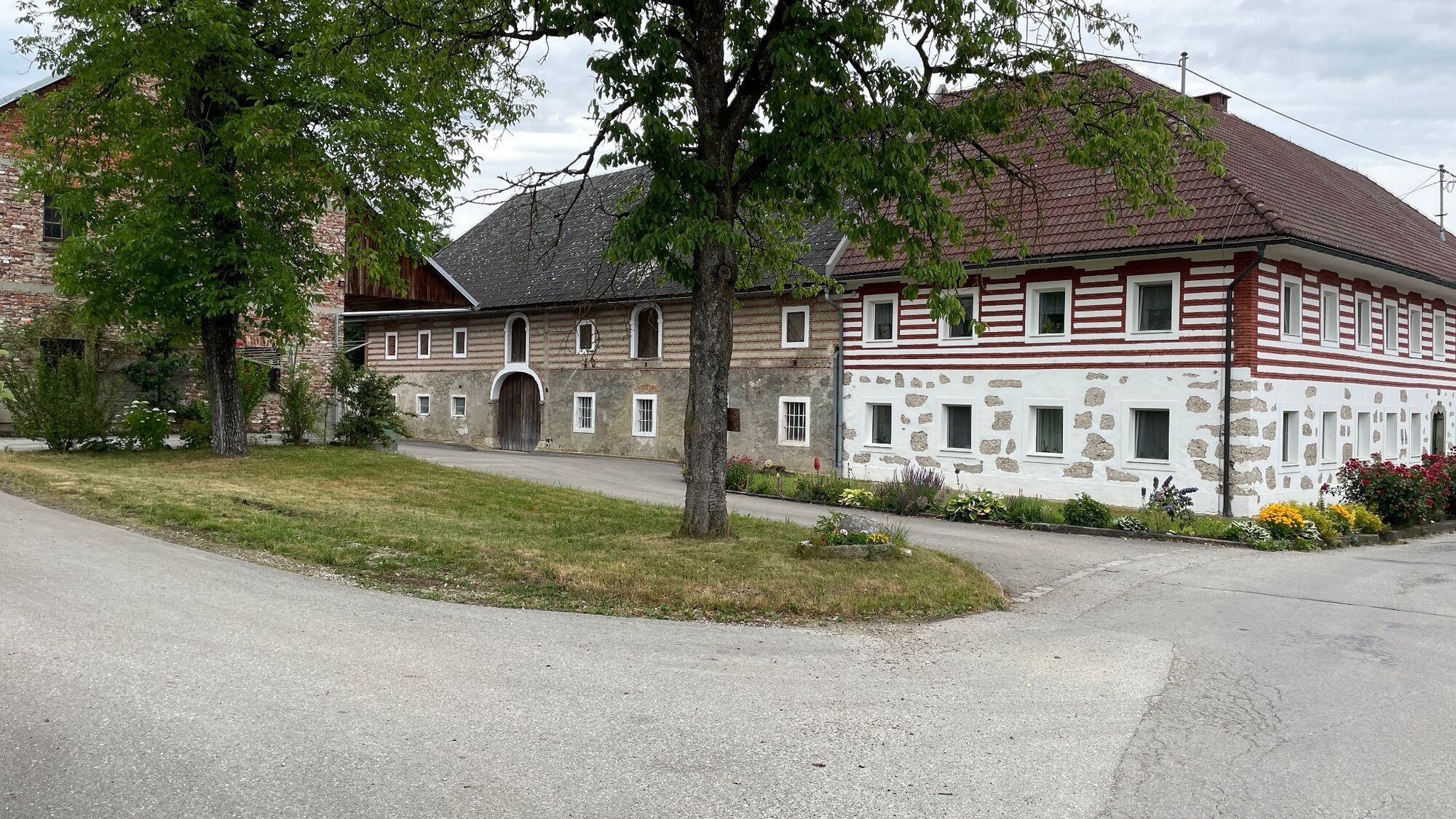
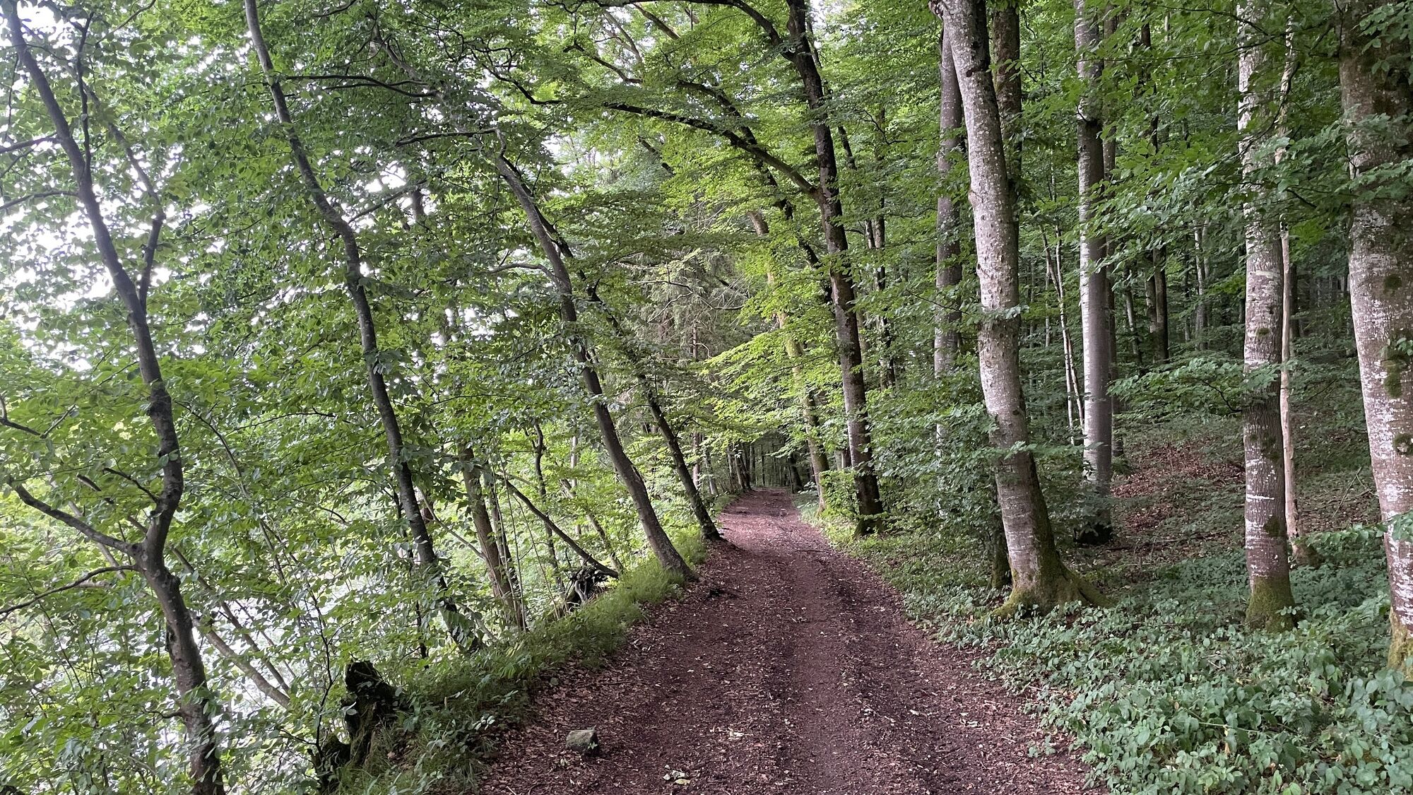
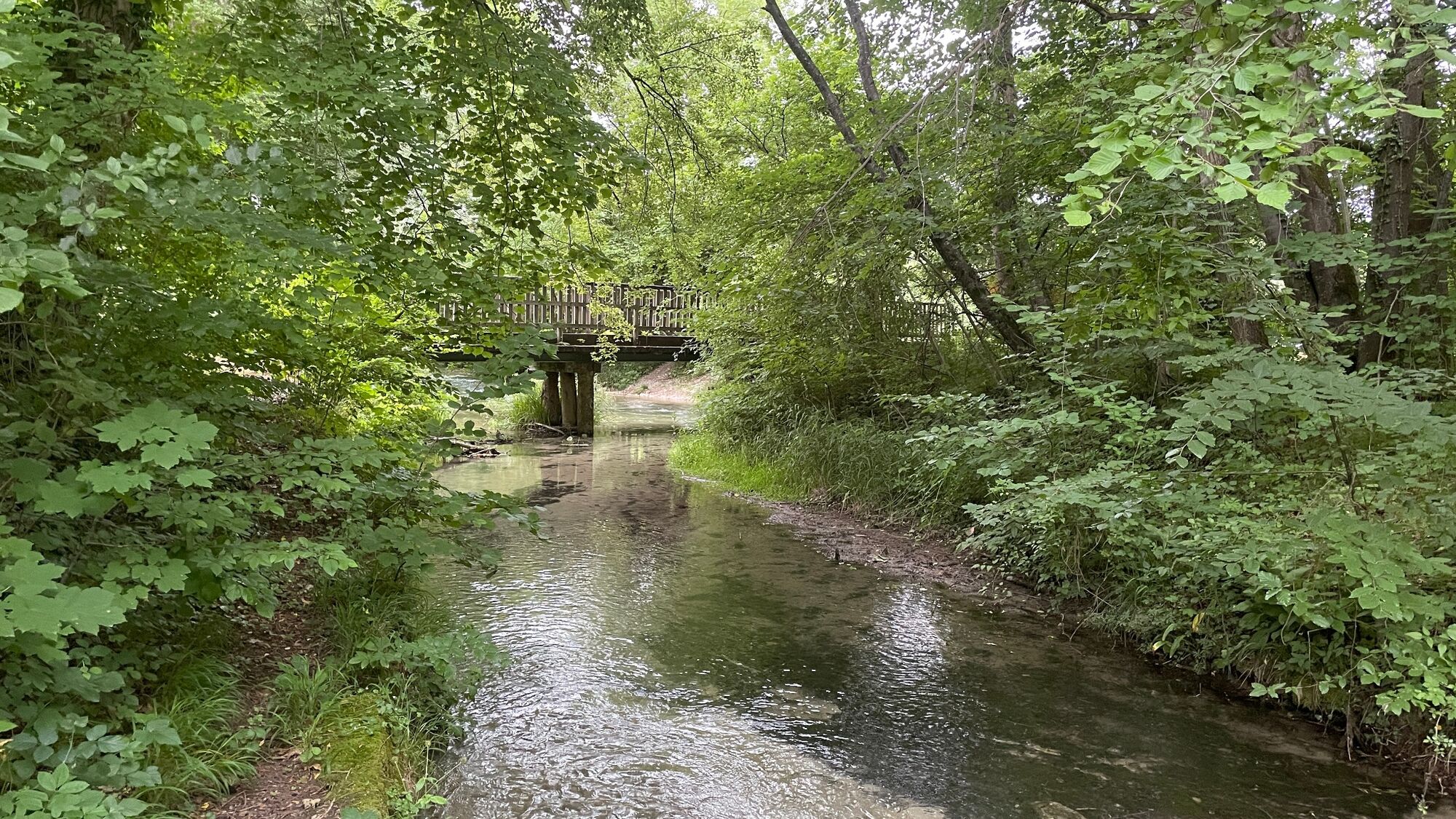
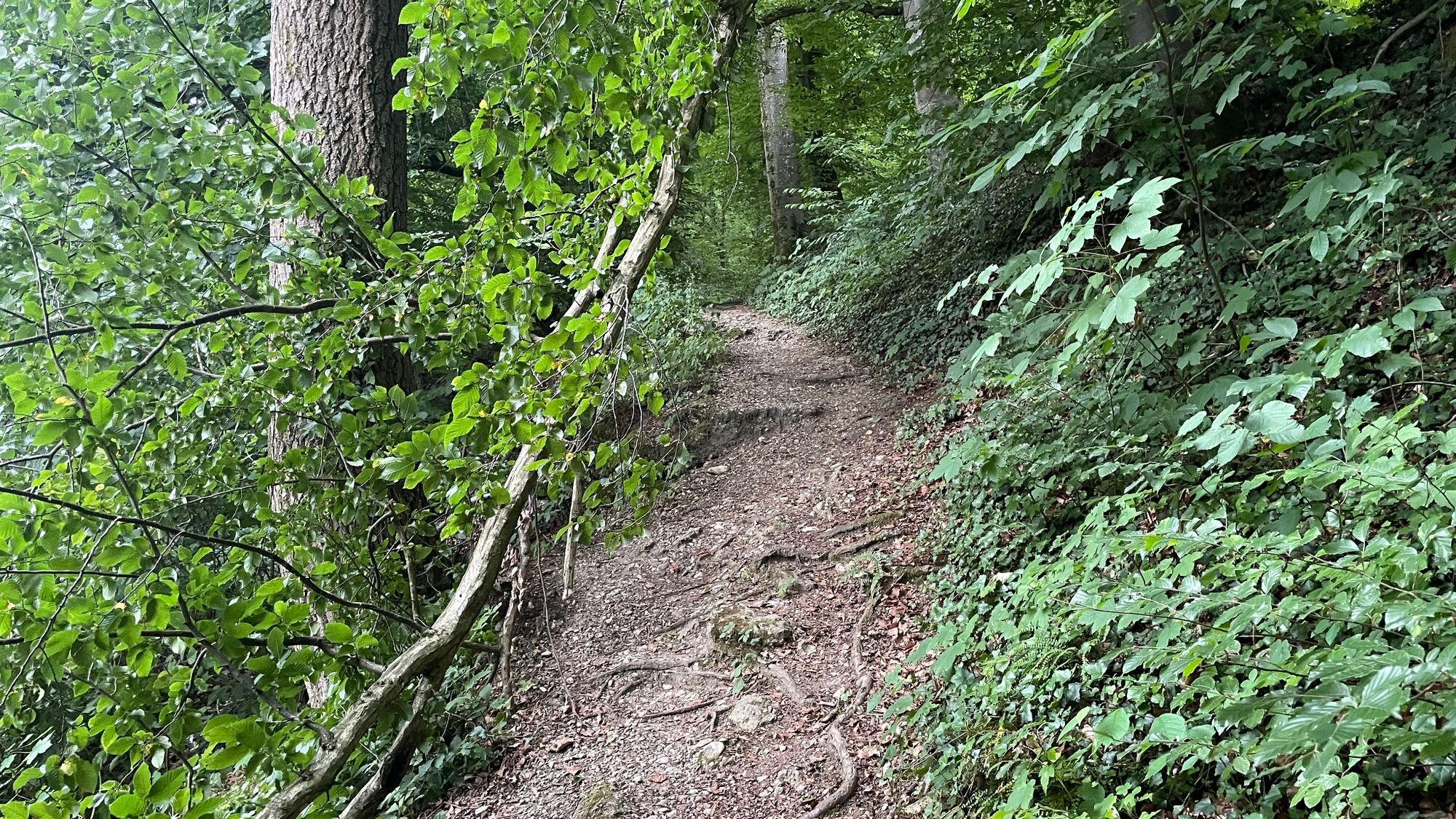
We start the run at the railway station in Garsten and first run along the road to the left and then turn right at the wall of the Garsten prison. Passing the warehouse on the left again, we turn right up the road. At the bend, we walk up the path to the right and pass a Materl. Here we cross the road and continue along the Teufelsbach stream until we reach the Gastner pond. This is followed by a short section of forest which takes us onto Herrenweidestraße, which we follow until we reach Saaß.
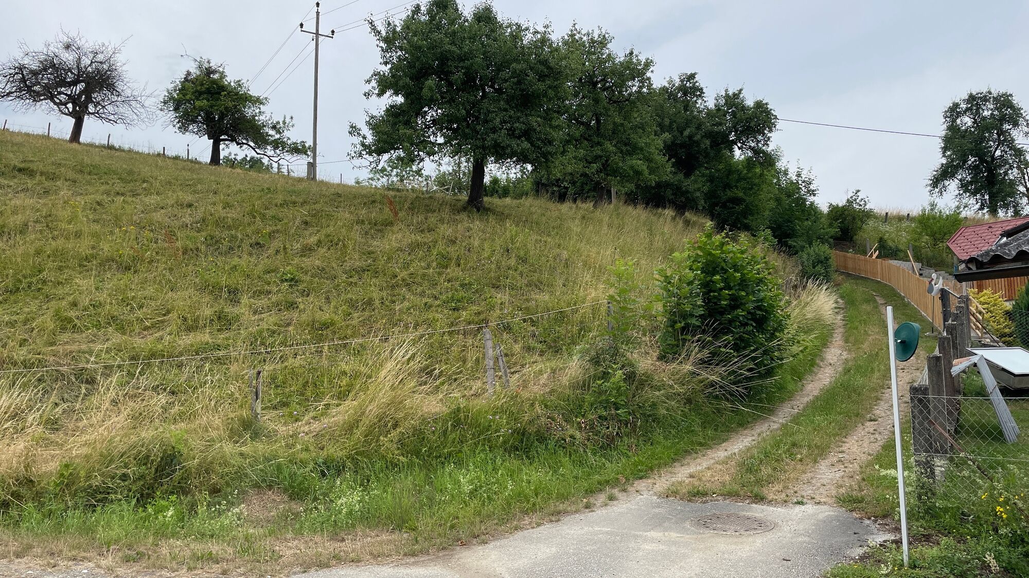
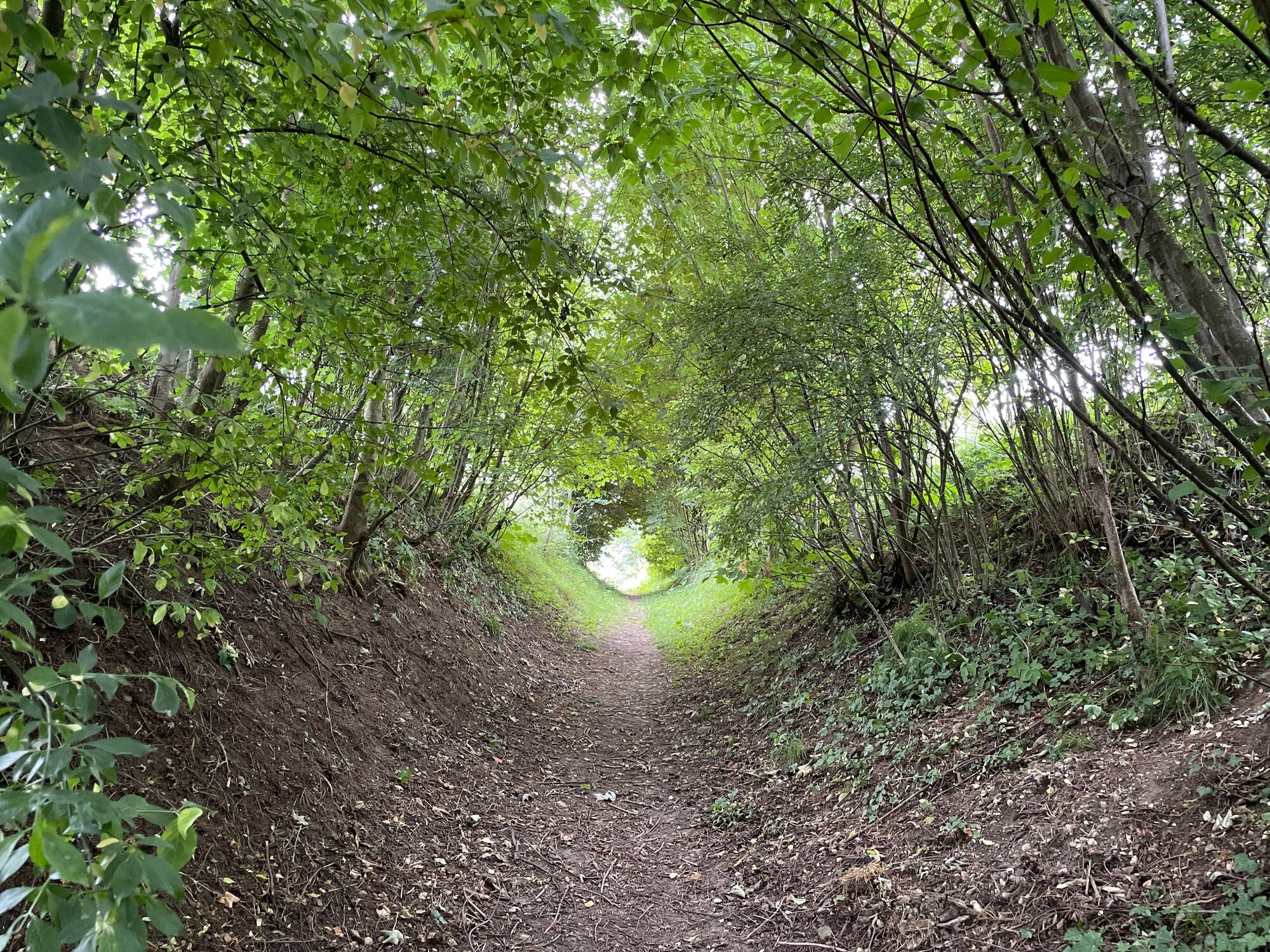
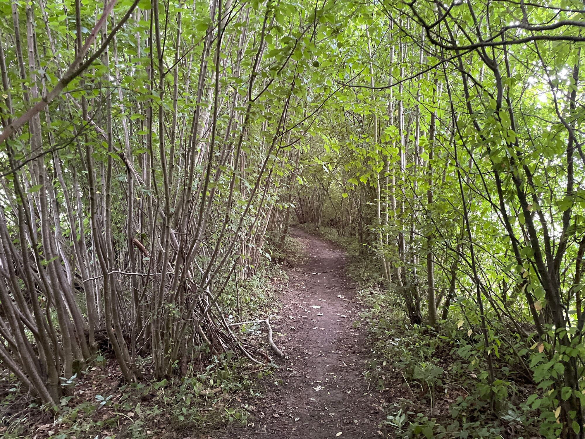
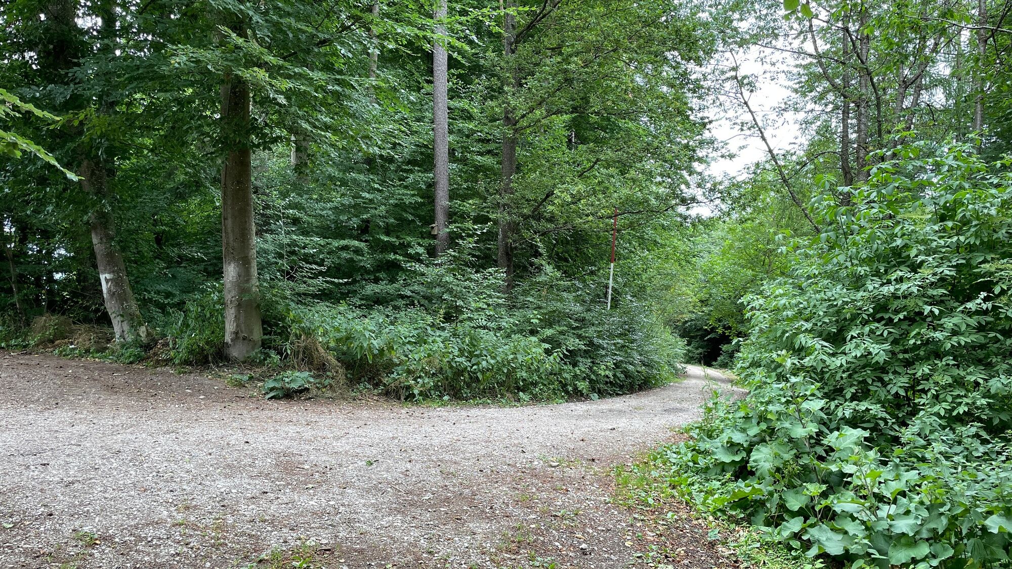
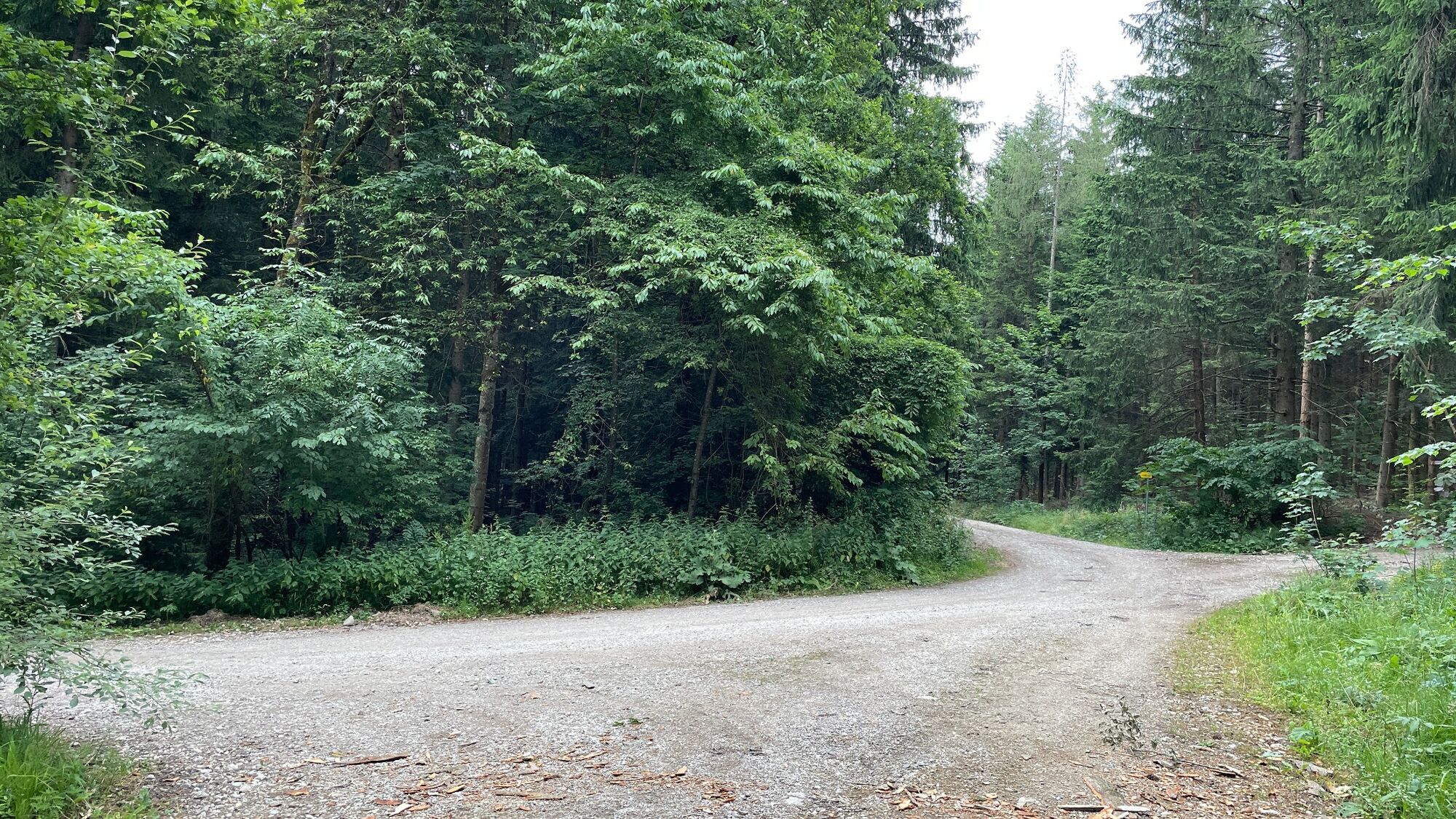
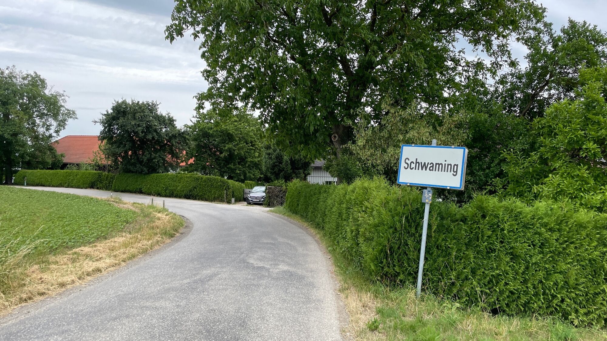
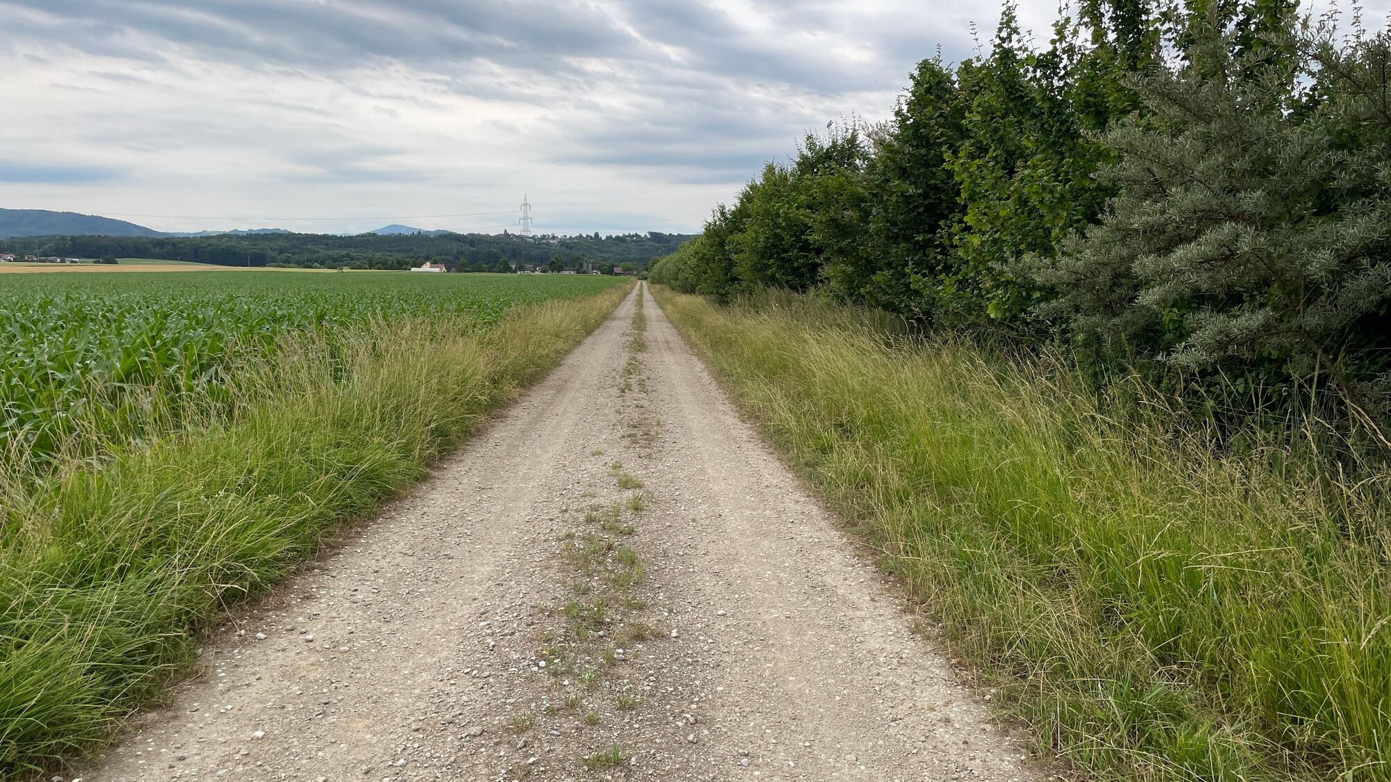
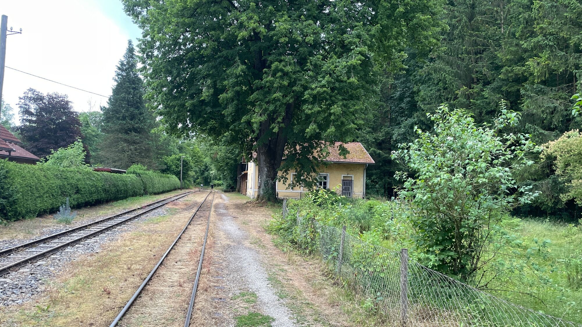
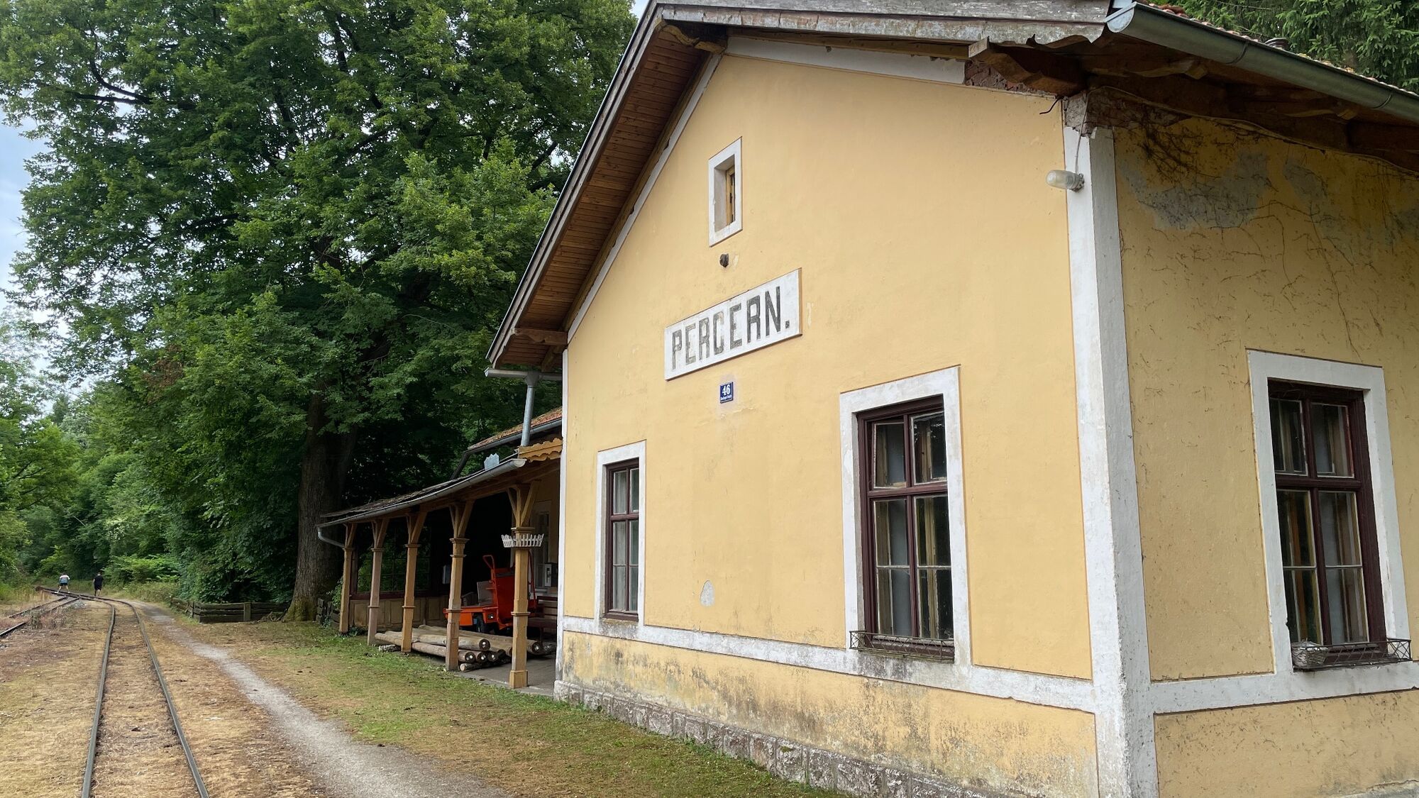
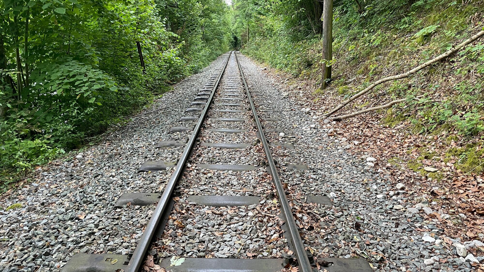
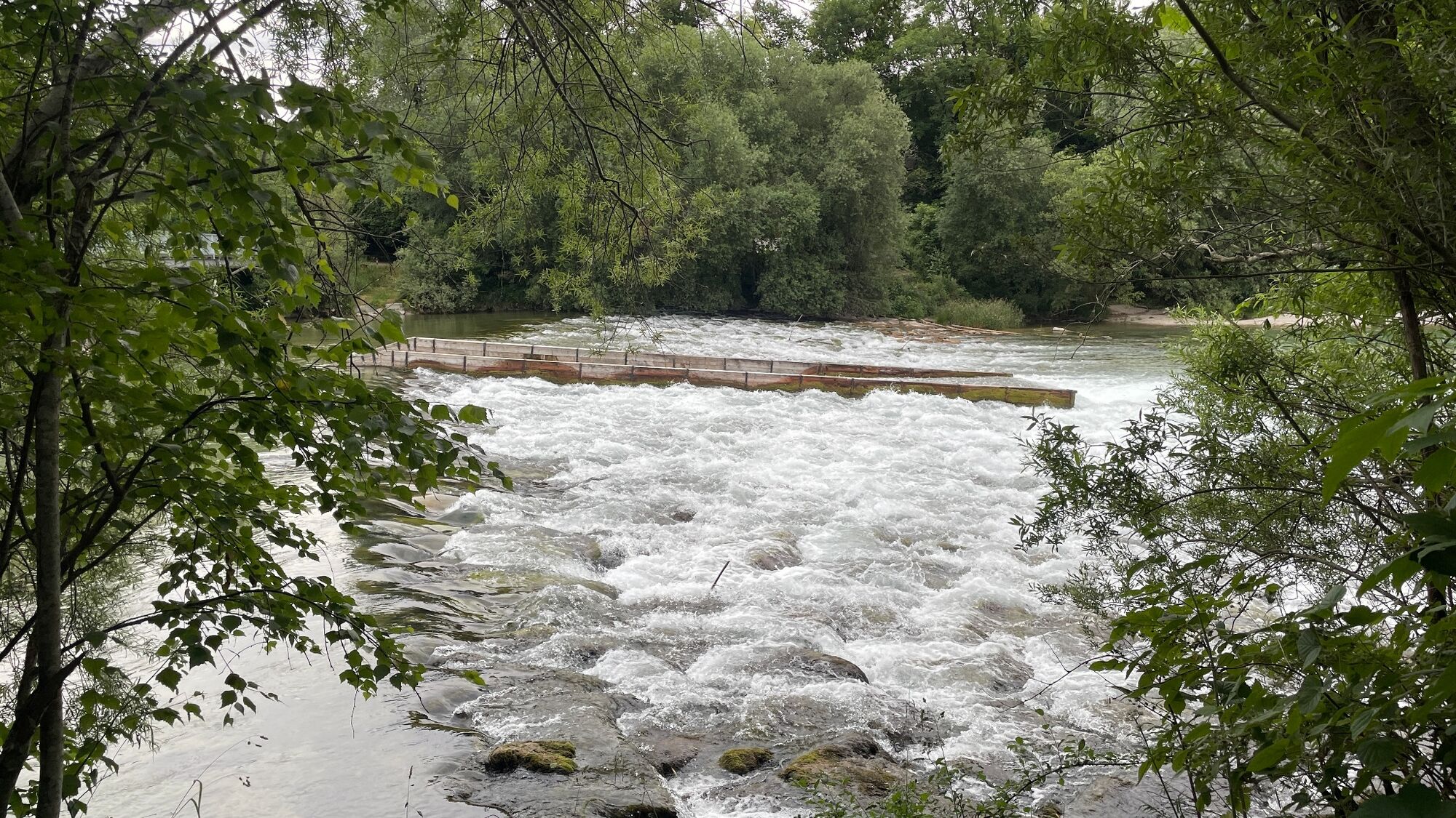
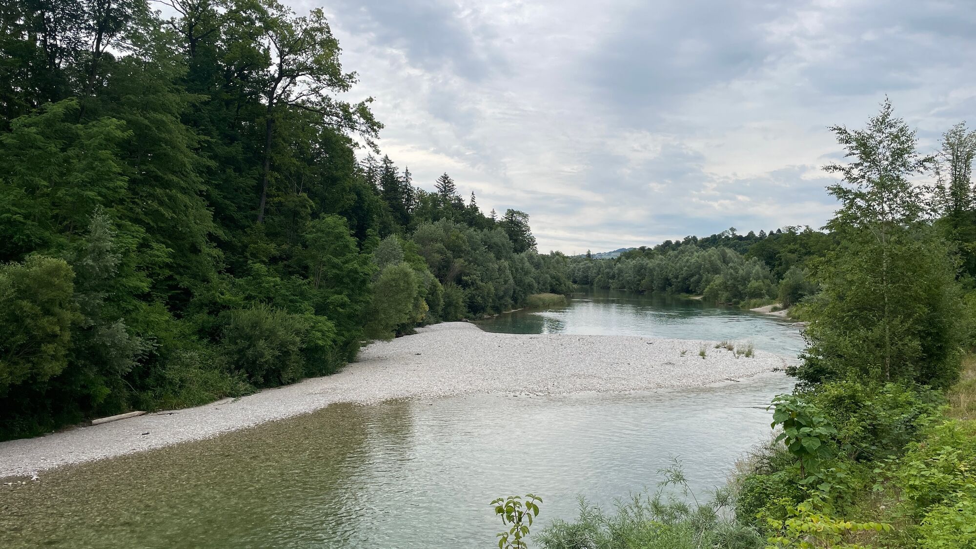
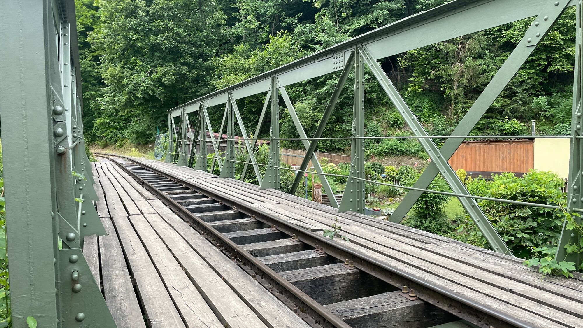
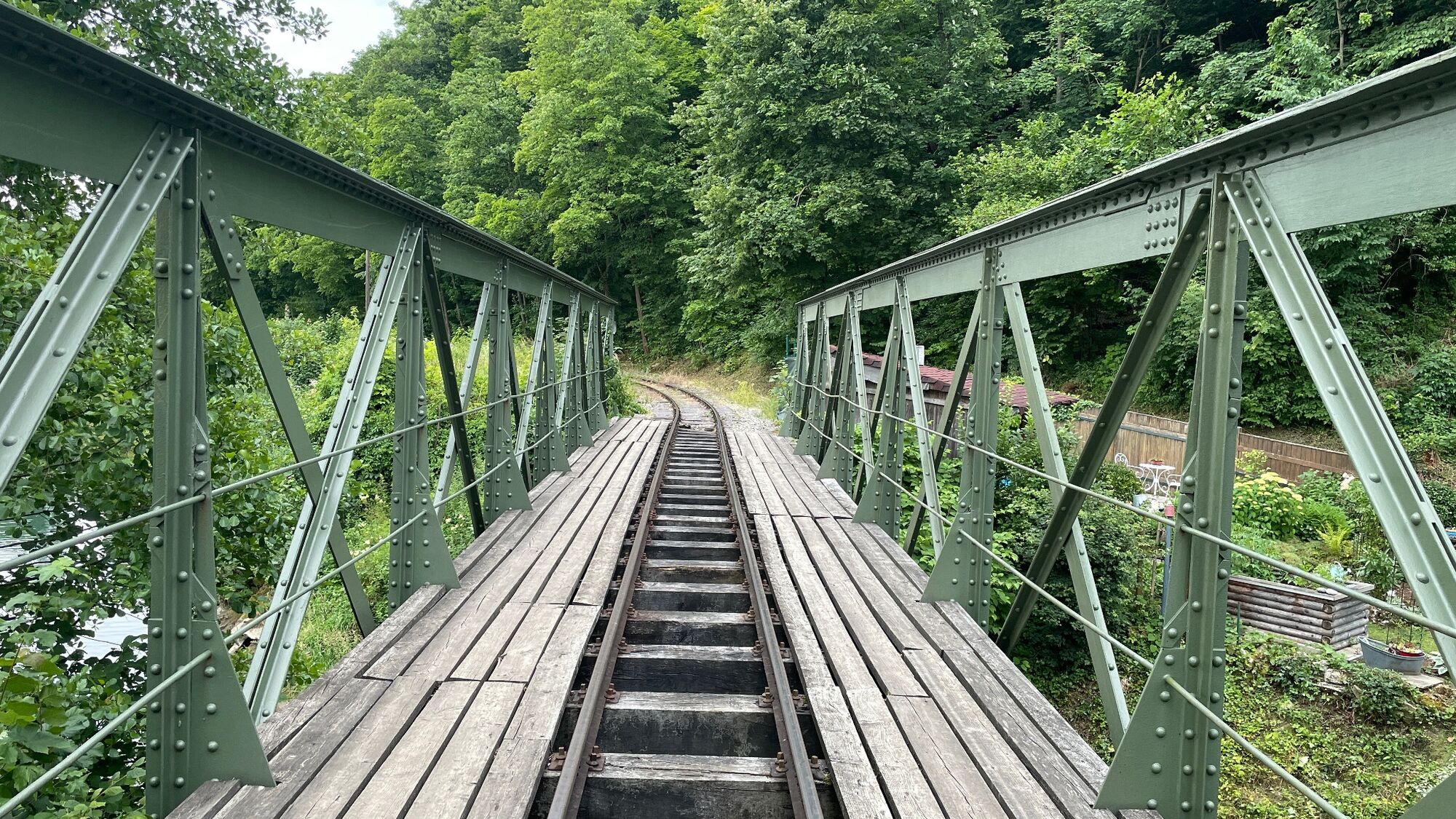
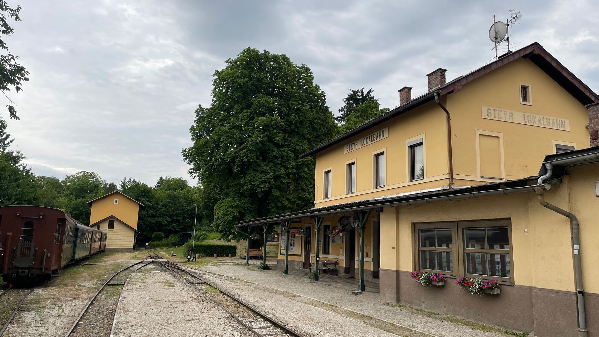
After exactly 5 kilometres, we turn into the Saaßer Forst forest and walk to Schwamming. Here we turn left at a farm onto a gravel path in the direction of Pierer Au. A 1.5 km long straight stretch leads us in the direction of the Steyer river. Along the meadow, past the Pergern station of the Steyrtalbahn railway, we now walk the next 6 km through the Himmlitzer Au. Past the Kruglwehr weir, we then head towards the Hundeabrichteplatz at the Schwarze Brücke bridge. Here we meet up with the tracks of the Steyrtalbahn railway again. Shortly afterwards, we turn right up a steep path which leads us directly to the museum railway station.
We now walk past the football pitch and back to Garsten. We walk through the district of Reichenschwall. Down the Sarningberg, about 1 km in the direction of Garsten Abbey, we return to our starting point at the railway station.
- Highest point
- 478 m
- Endpoint
-
Garsten railway station
- Height profile
-

- Equipment
-
The required equipment always depends on the particular tour and the weather conditions. Regarding the food: This is very individual and it is recommended to have rather too much than too little with equipment and food. For a 5km round in the valley you need less than for a demanding tour in the mountains. The weather can change quickly and if you are not constantly on the move or need to take a break, for example, warming clothing is of great importance.
We have a general checklist for you here:
Weather-appropriate running gear for the season - weather forecast - region - elevation. This includes:
* a waterproof rain jacket
* a waterproof rain trousers suitable for running
* Gloves and warm headgear (hood/headband/towel).
* sunglasses + sunscreen + headgear for very warm days Trail running shoes Drinking bottles, softflasks or a hydration bladder with enough liquid for the respective tour (if necessary also salt tablets/magnesium) Snacks for the energy boost in between: Energy bars, gels, chocolate, trail mix, Running backpack: ideally a trail running vest / a trail running backpack or a belly belt for small tours. Drypack: to keep your valuables or change of clothes dry (optionally a small garbage bag). Emergency blanket Small first aid kit. An Israeli bandage is highly recommended: this is a one-handed wound and pressure bandage. Details can be found here. Emergency whistle (often integrated in trail backpacks) Cell phone Maps (online and/or offline) E-card or insurance card Some cash Grödeln/Spikes: these can be a great advantage in winter and icy conditions. Folding poles for trail running Headlamp - Additional information
-
This trail was run for us by André Prinz.
- Parking
-
Garsten railway station
- Author
-
The tour An easy circuit around Garsten and Steyr. is used by outdooractive.com provided.


-
Traunviertel
54
-
Tourismusregion Bad Hall
37
-
Garsten
16