© WGD Donau Oberösterreich Tourismus GmbH/Andreas Kranzmayr - Andreas Kranzmayr
© WGD Donau Oberösterreich Tourismus GmbH/Andreas Kranzmayr - Andreas Kranzmayr

- Brief description
-
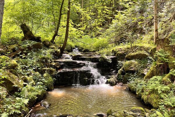
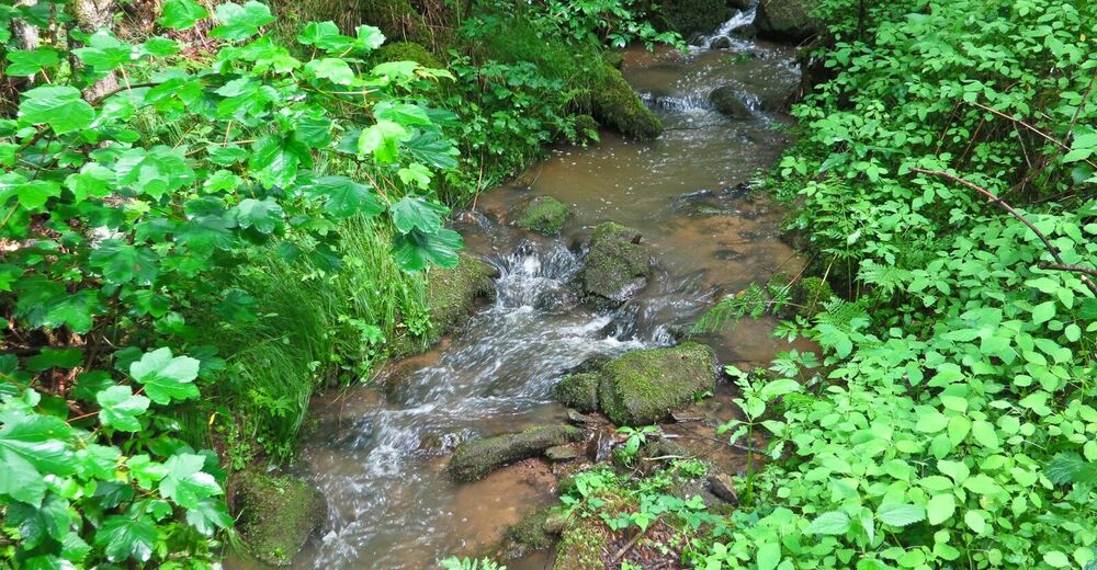
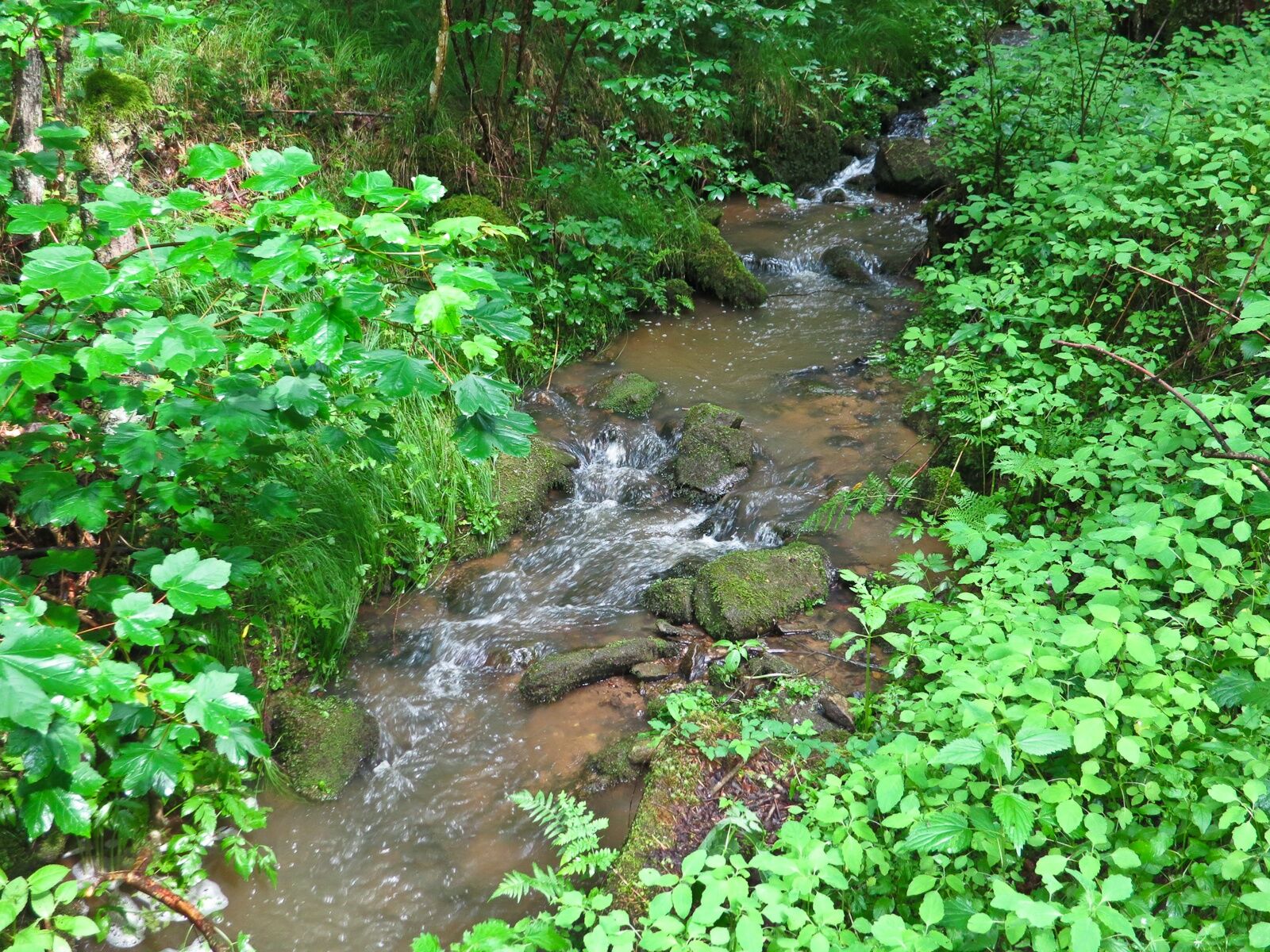
Wanklmoar Sag and Kößlbach Brook
- Difficulty
-
easy
- Rating
-
- Starting point
-
Esternberg
- Route
-
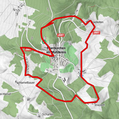
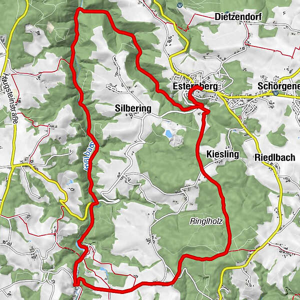
Pfarrkirche Esternberg0.0 kmEsternberg0.1 kmWirt'z Kneiding8.8 kmDorfkirche Kneiding8.8 kmKneiding9.2 kmRinglholz10.8 kmKiesling14.0 kmEsternberg15.7 kmPfarrkirche Esternberg15.7 km
- Best season
-
JanFebMarAprMayJunJulAugSepOctNovDec
- Description
-
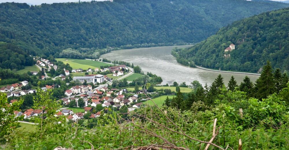
We start in front of the municipal centre of Esternberg and continue on the road north-westwards. We take a left turn almost immediately and hike southwards. Soon we meet the road again and follow it. We hike past a sewage plant and through the forest. After some 3km through Riedlbachtal Valley we get to the spot where Riedelbach Brook flows into Kößlbach Brook and to “Wanklmoar Sag”. We follow the course of Kößlbach Brook and enjoy the interesting vegetation there until we take a left turn uphill in Kneiding. We leave the forest and continue through the cultured landscape to Ringlholz. From there we hike through the forest back to Esternberg.
- Highest point
- 550 m
- Endpoint
-
Gemeindeamt Esternberg
- Height profile
-

- Additional information

- Author
-
The tour Esternberg: Kößlbach Loop Tour is used by outdooractive.com provided.
GPS Downloads


General info
Refreshment stop
Flora
Other tours in the regions
-
Innviertel
799
-
Passauer Land
161
-
Esternberg
73